- Middle Fork Willamette River
-
Middle Fork Willamette River 
Country United States State Oregon County Lane Tributaries - right North Fork Middle Fork Willamette River Source Cascade Range - elevation 5,552 ft (1,692 m) [1] - coordinates 43°24′28″N 122°6′20″W / 43.40778°N 122.10556°W [2] Mouth Willamette River - elevation 436 ft (133 m) [2] - coordinates 44°1′23″N 123°1′25″W / 44.02306°N 123.02361°W [2] Length 115 mi (185 km) [3] Basin 1,340 sq mi (3,471 km2) Discharge for Jasper - average 4,092 cu ft/s (116 m3/s) [4] - max 94,000 cu ft/s (2,662 m3/s) - min 366 cu ft/s (10 m3/s) 
 Location of the mouth of the Middle Fork Willamette River in Oregon
The Middle Fork Willamette River is one of several forks that unite to form the Willamette River in the western part of the U.S. state of Oregon. It is approximately 115 mi (185 km) long,[3] draining an area of the mountains at the south end of the Willamette Valley south of Eugene.
Course
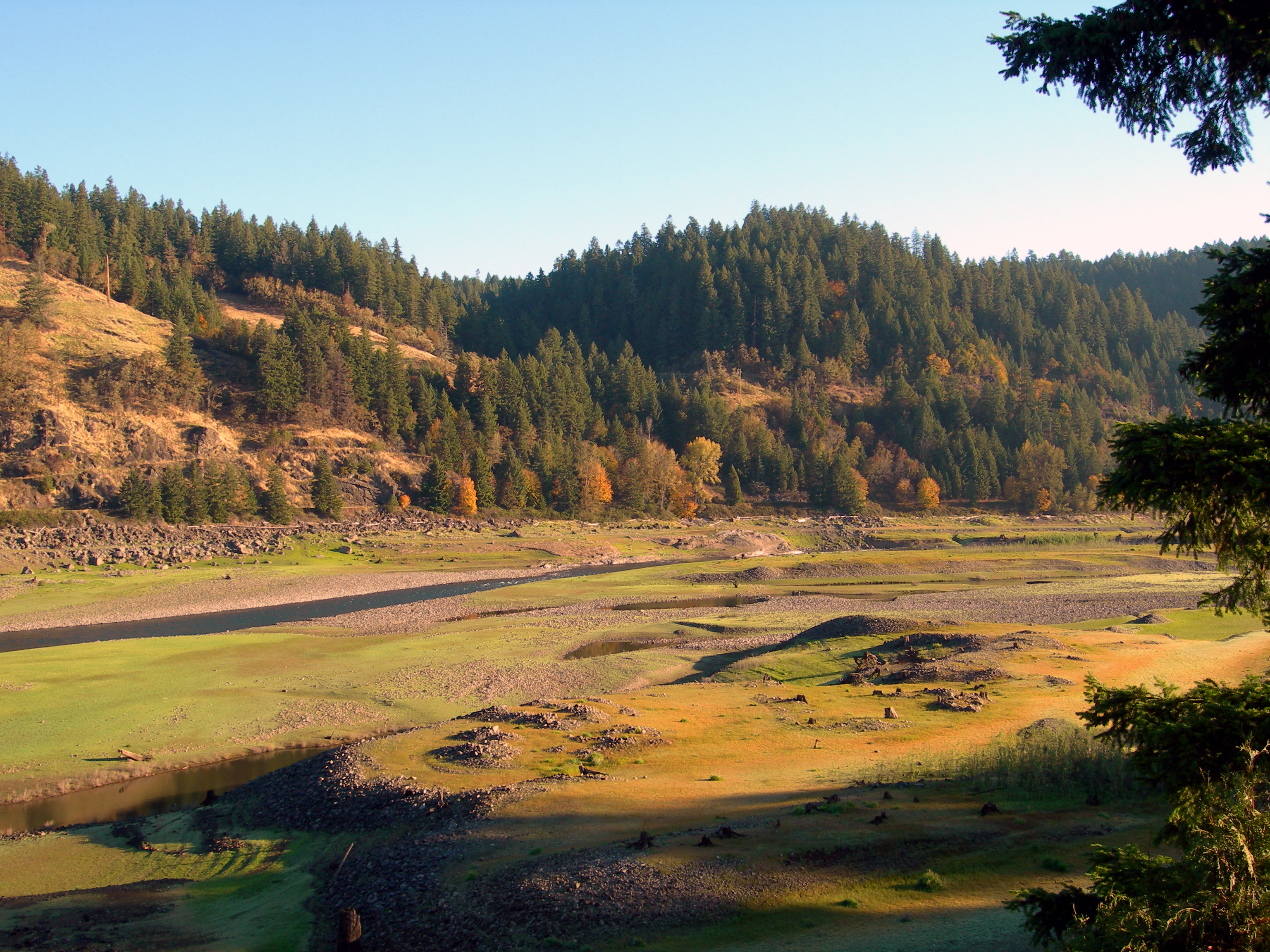
The Middle Fork Willamette River is formed in northeastern Douglas County by the joining of several small headwater streams near Emigrant Pass. It flows generally north, through the Calapooya Mountains, to the vicinity of Eugene, where it joins the Coast Fork Willamette River to form the Willamette River proper.
Just south, upriver, of Oakridge the Middle Fork is impounded in Hills Creek Reservoir, created by Hills Creek Dam. Downriver from the dam and Oakridge, the Middle Fork is joined by the North Fork Middle Fork Willamette River. Below this confluence, the Middle Fork is impounded by two more reservoirs, Lookout Point Reservoir and Dexter Reservoir, before joining the Coast Fork and forming the main Willamette River.
See also
- List of rivers of Oregon
- List of longest streams of Oregon
- Tributaries of the Columbia River
References
- ^ Google Earth elevation for GNIS coordinates
- ^ a b c U.S. Geological Survey Geographic Names Information System: Middle Fork Willamette River
- ^ a b Middle Fork, The Columbia Gazetteer of North America
- ^ "Water Resources Data for Oregon, Water Year 2005; Middle and Coast Fork Willamette River Basins". United States Geological Survey. http://pubs.usgs.gov/wdr/2005/wdr-or-05/pdf/mid_coast_will.pdf. Retrieved 29 September 2009.
Categories:- Tributaries of the Willamette River
- Landforms of Douglas County, Oregon
- Rivers of Oregon

Wikimedia Foundation. 2010.