- North Fork Middle Fork Willamette River
-
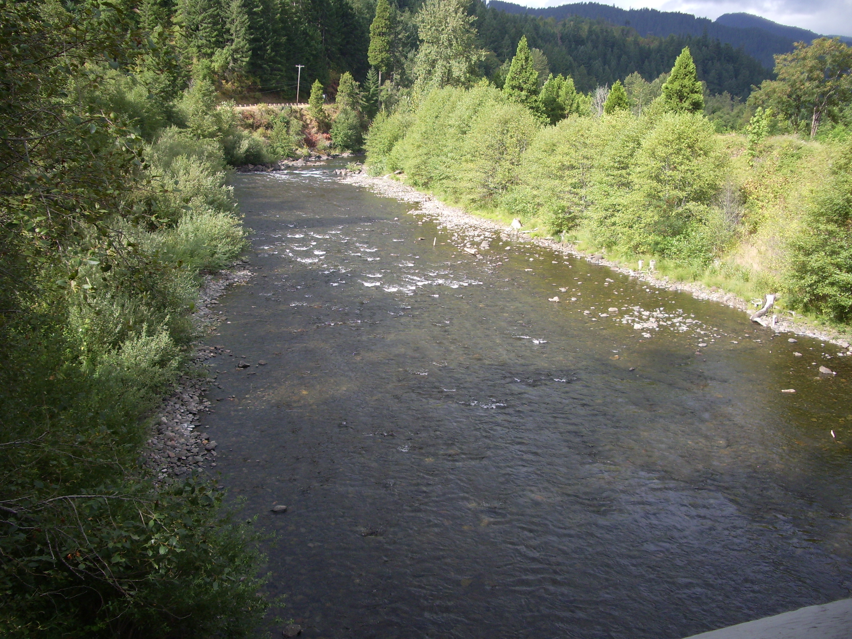
North Fork Middle Fork Willamette River  The river as seen from the North Fork Trail
Country United States State Oregon County Lane Source Waldo Lake - location Cascade Range - coordinates 43°46′1″N 122°3′11″W / 43.76694°N 122.05306°W [1] Mouth Middle Fork Willamette River - elevation 1,033 ft (315 m) [1] - coordinates 43°45′30″N 122°31′27″W / 43.75833°N 122.52417°W [1] 
 Location of the mouth of the North Fork Middle Fork Willamette River in Oregon
The North Fork Middle Fork Willamette River as it is officially named[1] but frequently called North Fork of the Willamette River or North Fork of the Middle Fork of the Willamette River has its headwaters at Waldo Lake and flows into the Middle Fork Willamette River northwest of Oakridge. In the first three miles (5 km) below Waldo Lake, the river drops 2,400 feet (730 m) in 34 separate waterfalls through diverse natural plant life and old growth forest.[2]
The river has Oregon's longest covered bridge crossing it at Westfir, the Office Bridge.[3] Portions of the river are designated wild and scenic since 2001.[4][5] The portion from Waldo Lake to one mile (1.6 km) upstream from Westfir is designated scenic by the State of Oregon[6] and is known for its native trout by fly fishermen.[2]
The river above Westfir is rated as class 3-4 (5) whitewater. Recommended flow range is 500 to 3000 CFS.[7]
See also
- List of Oregon rivers
- List of National Wild and Scenic Rivers
References
- ^ a b c d U.S. Geological Survey Geographic Names Information System: North Fork Middle Fork Willamette River
- ^ a b "Area Attractions". Oakridge Chamber of Commerce. Archived from the original on 2007-07-02. http://web.archive.org/web/20070702161232/http://www.oakridgechamber.com/attractions.asp. Retrieved 2007-06-07.
- ^ "North Fork of the Middle Fork Willamette River (Office) Covered Bridge". Oregon Covered Bridges. http://www.oregon.com/covered_bridges/bridges/office.cfm. Retrieved 2007-06-07.
- ^ "welcome to the Middle Fork Willamette Watershed Council!". Middle Fork Willamette Watershed Council. http://www.mfwwc.org/mfwwc.html. Retrieved 2007-06-07.
- ^ Nancy Graybeal, Deputy Regional Forester (December 4, 2000). "Boundary Establishment for North Fork of the Middle Fork of the Willamette National Wild and Scenic River, Willamette National Forest, Lane County, OR". United States Environmental Protection Agency. http://www.epa.gov/fedrgstr/EPA-IMPACT/2000/December/Day-04/i30754.htm. Retrieved 2007-06-07.
- ^ "Removal-Fill in State Scenic Waterways". Oregon.gov. http://www.mfwwc.org/mfwwc.html. Retrieved 2007-06-07.
- ^ "The Gorge to Westfir on the North Fork of the Middle Fork of the Willamette River". WetDawg.com. http://www.wetdawg.com/pages/white_dir_display.php?s=OR&f=5541&results_page=2. Retrieved 2007-06-07.
External links
- Reactive map of Middle Fork Willamette watershed (hold mouse just north of Westfir to see lower watershed)
 Categories:
- Rivers of Oregon
- Wild and Scenic Rivers of the United States
- Willamette River
- Landforms of Lane County, Oregon
- Lane County, Oregon geography stubs


Wikimedia Foundation. 2010.