- Massachusetts Route 127
-
Route 127
Route information Length: 26.70 mi[1] (42.97 km) Existed: by 1930 – present Major junctions South end: 
 Route 1A/22 in Beverly
 Route 62 in Beverly
 Route 133 in Gloucester
 Route 128 in Gloucester
 Route 127A in Rockport
North end: Route 128 in GloucesterHighway system Massachusetts State Highway Routes
←  Route 126
Route 127A →Route 127 is a north–south Massachusetts state route that runs from Beverly to Gloucester. Much of the route is in Cape Ann.
Contents
Route description
Route 127 begins in Beverly concurrently with Route 22 at Route 1A, just north of the Essex Bridge. Shortly afterward, the two routes split, with Route 127 heading east towards the shore, following past Independence Park and Lyons Park overlooking Beverly Harbor. Route 127 passes the eastern end of Route 62 before turning eastward again. Route 127 passes Endicott College and the Prides Crossing and Beverly Farms MBTA stations before continuing eastward into Manchester-by-the-Sea.
Once in Manchester-by-the-Sea, Route 127 acts as the main route through town, passing the downtown are and just north of the Manchester station. It crosses the tracks one more time (next to Sweeney Park) as it heads into Gloucester. Once in Gloucester, the route passes the Magnolia section of town before passing Ravenswood Park and Stage Fort Park, site of a large marker commemorating the city's founding. Just before crossing Blynman Canal, Route 127 meets the end of Route 133. As it passes the Western Harbor, Route 127 passes the Gloucester Fisherman's Memorial as well as passing just north of several of the city's major fishing companies (including Gorton's of Gloucester.
Just north of the Inner Harbor of Gloucester, Route 127 meets the southern end of Route 127A, just before crossing near the northern end of Route 128. Route 127 then crosses into the town of Rockport. The route passes towards the downtown, meeting the northern end of Route 127A and passing the Rockport station. Route 127 then heads north near the shore, passing Gull Cove, Rowe's Cove, Pigeon Cove and Ocean View, before bending southward (contrary to its signage) at Halibut Point State Park. It then re-enters Gloucester, changing direction on its state route signs, heading southward along Rowley Shore and along the banks of the Annisquam and Mill Rivers before finally ending at Route 128, at Grant Circle.
North Shore Route 127 in Beverly was named as one of the 1,000 places to visit in Massachusetts by the Great Places in Massachusetts Commission.[2]
History
Route 127's route in 1930 was almost identical to the current route[3]. However, it originally continued south of Grant Circle to end at itself.[4] It was cut back in the mid 1990s.
Junction list
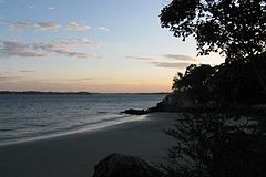

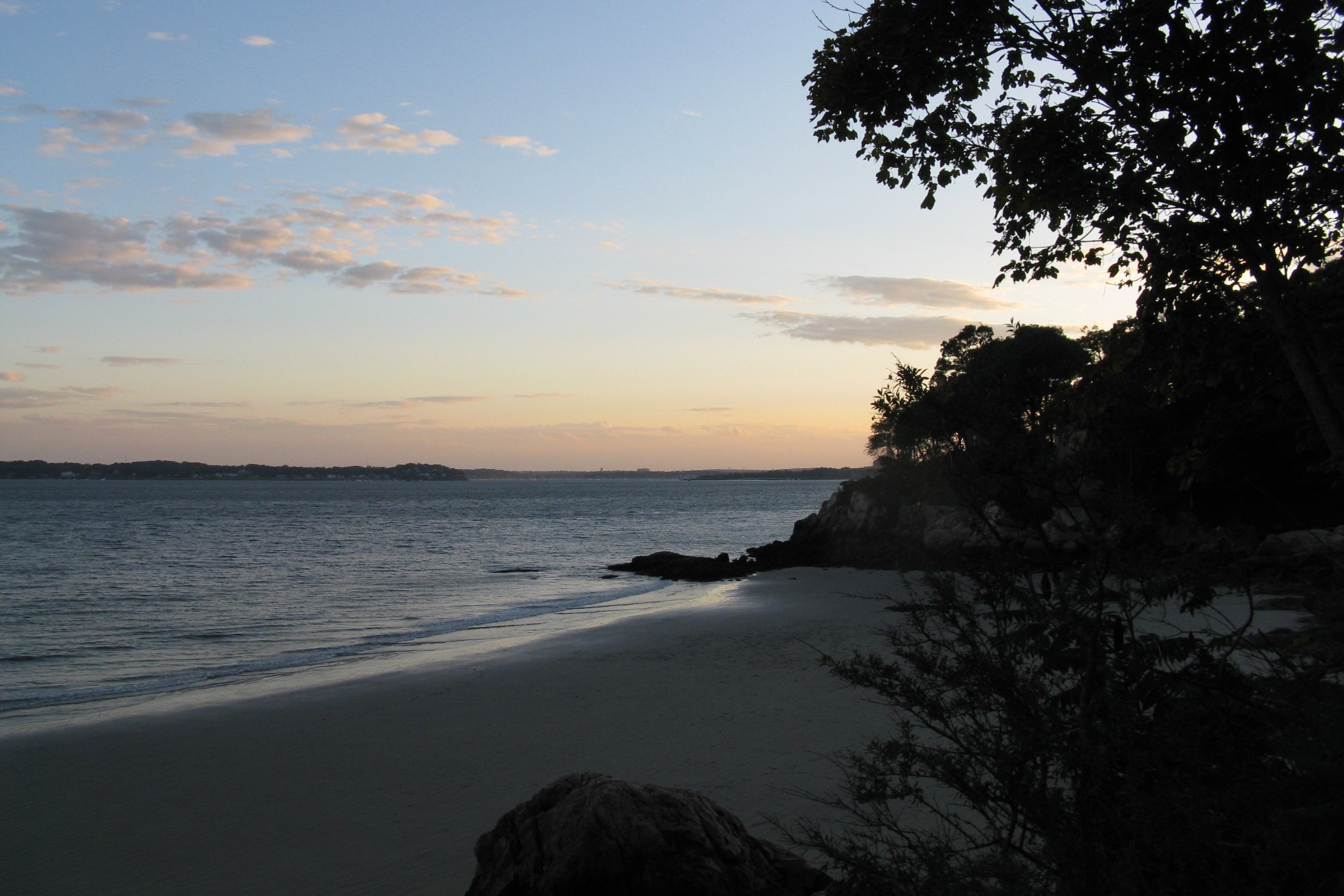
A view from Route 127 in Beverly.
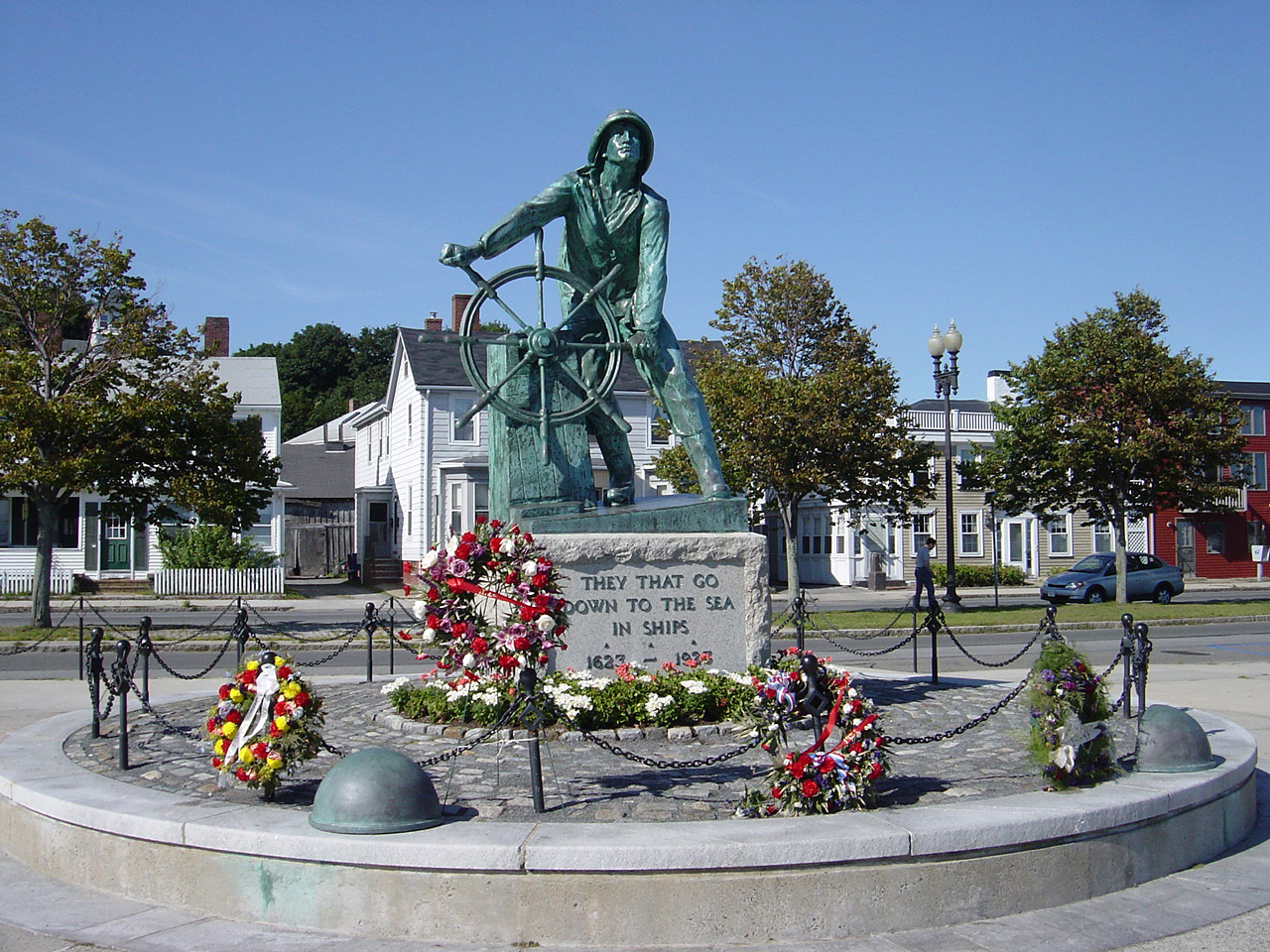
42°33′2.8″N 70°50′23.8″W / 42.550778°N 70.839944°W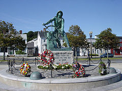 The Gloucester Fisherman's Memorial, with Route 127 passing behind it.
County Location Mile Roads intersected Notes Essex Beverly 0.00 Rotue 1A
Route 22 NorthSouthern end of Routes 127 and 22.
Beginning of concurrency with Route 22.0.1 Route 22 NorthNorthern end of concurrency with Route 22. 1.1 Route 62 WestEastern end of Route 62. Gloucester 13.6 Route 133 WestEastern end of Route 133. 15.1 Route 127A NorthSouthern end of Route 127A. 15.3 Route 128Last intersection on Route 128 before northern end. Rockport 19.1 Route 127A SouthNorthern end of Route 127A. Gloucester 26.70 Route 128Northern end of Route 127 at Grant Circle. References
- ^ Executive Office of Transportation, Office of Transportation Planning - 2007 Road Inventory
- ^ "1,000 places to visit in Massachusetts". The Boston Globe. 2010-07-26. http://www.boston.com/news/local/massachusetts/articles/2010/07/12/1000_places_to_visit/.
- ^ Kelley, Neil. "MA 127" (route log entry). Massachusetts Route Log. neilbert.com. http://www.neilbert.com/findroute.php?route=127. Retrieved 2006-07-13.
- ^ Moraseski, Dan. "MA routes 120-129". MA route log. web.mit.edu. Archived from the original on 2004-10-25. http://web.archive.org/web/20041025164723/http://web.mit.edu/spui/www/boston/sr/12x.html#127. Retrieved 2006-07-13. (Wayback Machine archive, original site down)
Categories:- Numbered routes in Massachusetts

Wikimedia Foundation. 2010.