- Garonne
Infobox_River | river_name = Garonne
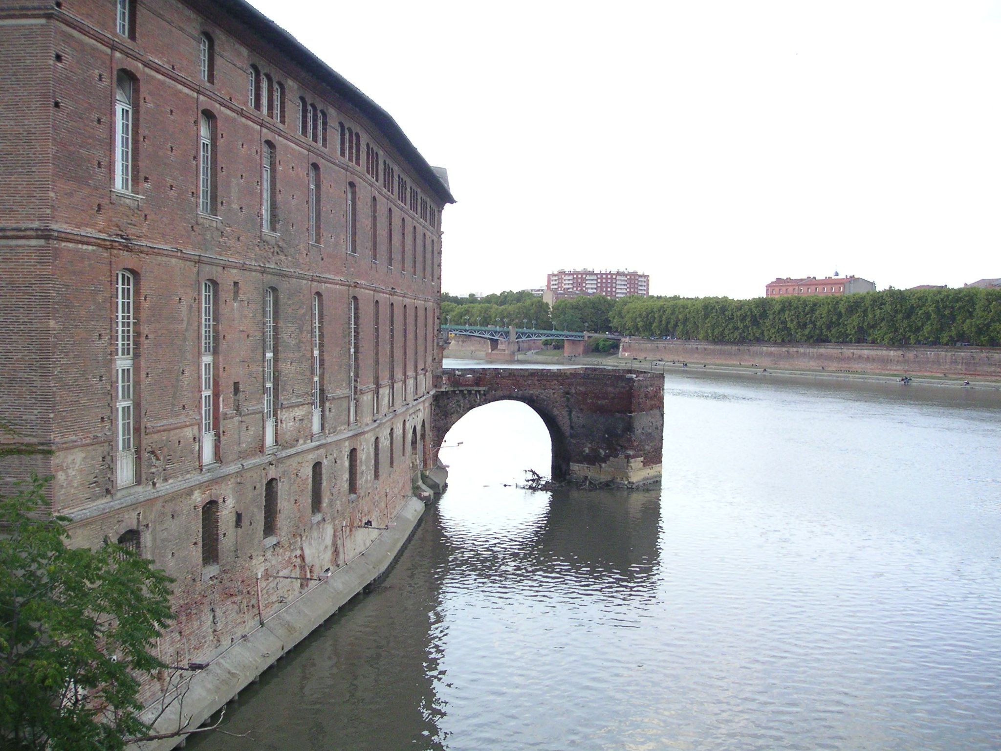
caption = The Garonne in Toulouse.
origin =Pyrenees
coord|42|49|47|N|0|43|50|E|display=inline|name=source Garonne
mouth =Gironde estuary ,Atlantic Ocean
coord|45|2|29|N|0|36|24|W|name=Gironde-Garonne|display=inline,title
basin_countries =France ,Spain
length = 575 km
elevation = 1,872 m
discharge =
watershed = 84,811 km² *
*including DordogneThe Garonne ( _fr. Garonne; in Occitan, Catalan and Spanish: "Garona"; _la. Garumna) is ariver in southwestFrance and northernSpain , with a length of 575 km (357 miles).Origin of the name
The name "Garonne" derives from an ancient form "Garumna" containing the Aquitanian (language related to old Basque) root "kharr-", meaning "rock", [cite book|last=Agud|first=Manuel|coauthors=Tovar, Antonio|others=|title=Diccionario Etimologico Vasco|date=1991] akin to modern Basque "harri", "stone", and a
Pre-Indo-European suffix "-unn-,-onna " which means "source, river", and which can be found in the name of many rivers in western Europe (such as theSeine , the Saône, etc.).Geography
).
Along its course, the Garonne is joined by three other major rivers: the Ariège, the Tarn, and the Lot. Just after Bordeaux, the Garonne river finally meets the Dordogne, after which the two rivers become the
Gironde estuary , which after approximately 60 miles joins theAtlantic Ocean . Other tributaries include the Save and the Gers.The Garonne is one of the few rivers in the world that exhibit a
tidal bore . Surfers and jet skiers can ride the tidal bore at least as far as the village ofCambes (70 miles from the Atlantic) and even further upstream.Towns along the river
*
Aran Valley (Spain):Vielha
*Haute-Garonne (31):Saint-Gaudens ,Muret ,Toulouse
*Tarn-et-Garonne (82):Castelsarrasin
*Lot-et-Garonne (47):Agen ,Marmande
*Gironde (33): Langon,Bordeaux ,Blaye ,Le Verdon-sur-Mer
*Charente-Maritime (17):Royan Main tributaries
Following the flow of the river:
Navigation
The Garonne plays an important role in inland shipping. The river not only allows seagoing vessels to reach the port of
Bordeaux but also forms part of the "Canal des Deux Mers ", linking theMediterranean Sea to theBay of Biscay , allowing a shorter and safer way for goods to pass from the agricultural areas of the South of France to the Atlantic.From the ocean, ships pass through the Gironde estuary until the mouth of the Garonne (to the right of the Dordogne when sailing upstream). The Garonne remains navigable for larger vessels up to the "Pont de Pierre" (Stone Bridge) in Bordeaux. River vessels can sail upstream to
Castets-en-Dorthe , where theGaronne Lateral Canal (Canal Latéral à la Garonne) joins the river. The lateral canal takes the ships through 53 locks to the town of Toulouse, where the canal meets theCanal du Midi , the next stage of the "Canal des Deux Mers".The Garonne Lateral Canal was subject to one of the largest infrastructure works in Europe, when it was adapted to the standardized barge size of 38 by 5 meters, during the last century. French minister Freycinet ordered that all major canals used for long distance transport be suitable for vessels of those standard dimensions. The extension of all of the former 30 meter locks to the new standard length was carried out throughout the lateral canal. The other half of the Canal des Deux Mers, the Canal du Midi, partly escaped this operation, because by the time the works had reached the area where the most locks were situated, commercial traffic on the canal had almost disappeared. The works were stopped, leading to the cultural heritage status of the United Nations that has made the Canal du Midi famous. (Source: [http://www.noordersoft.com/indexen.html NoorderSoft Waterways database)]
ee also
*
List of rivers of Europe References
* [http://www.britannica.com/eb/article-9036113/Garonne-River Garonne River entry at the Encyclopedia Britannica]
* [http://www.bartleby.com/65/ga/Garonne.html Garonne River entry at the Columbia Encyclopedia (Bartleby)]
* [http://worldatlas.com/webimage/countrys/europe/lgcolor/frcolor.htm Map of rivers in France]
*http://www.geoportail.fr
* [http://sandre.eaufrance.fr/app/chainage/courdo/htm/O---0000.php?cg=O---0000 The Garonne at the Sandre database]
Wikimedia Foundation. 2010.