Ariège River

Ariège River

Infobox River | river_name = Ariège
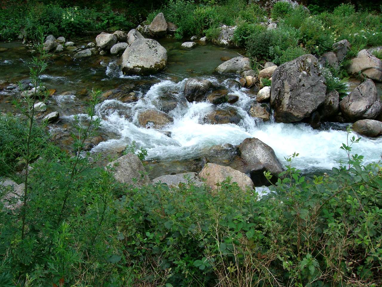

caption = Ariège River near Ax-les-Thermes.
origin = Pyrenees
mouth = Garonne
coord|43|31|2|N|1|24|36|E|name=Garonne-Ariège|display=inline,title
basin_countries = France, Andorra
length = 164 km
elevation = ± 2400 m
discharge = 65 m³/s
watershed = 3,860 km²
The Ariège is a 164 km long river in southern France, right tributary of the Garonne. Its source is in the Pyrenees, where it forms part of the border with Andorra. It flows north through the following "départements" and cities:
* Ariège (named after the river): Ax-les-Thermes, Foix, Pamiers.
* Haute-Garonne.

It flows into the Garonne in Portet-sur-Garonne, south of Toulouse.

References

*http://www.geoportail.fr
* [http://sandre.eaufrance.fr/app/chainage/courdo/htm/O1--0250.php?cg=O1--0250 The Ariège at the Sandre database]


Wikimedia Foundation. 2010.

Игры ⚽ Нужно решить контрольную?

Look at other dictionaries:

  • Ariège — Infobox Department of France department=Ariège|number=09 region=Midi Pyrénées prefecture=Foix subprefectures=Pamiers Saint Girons population=137,205|pop date=1999|pop rank=96th|density=28 area=4890|area scale=9 arrond=3|cantons=22|communes=332… …   Wikipedia

  • Mirepoix, Ariège — Mirepoix …   Wikipedia

  • Moulis, Ariège — Moulis …   Wikipedia

  • Pailhès, Ariège — Infobox Commune de France nomcommune=Pailhès région=Midi Pyrénées département=Ariège arrondissement=Pamiers canton=Le Fossat insee=09224 cp=09130 maire=Yvon Lassalle mandat=2001 2008 intercomm=Vallée de la Lèze longitude=1.44333333333 latitude=43 …   Wikipedia

  • Montoulieu, Ariège — Montoulieu …   Wikipedia

  • Oust, Ariège — Oust Vic d Oust …   Wikipedia

  • Dun, Ariège — Dun …   Wikipedia

  • Cescau, Ariège — Cescau …   Wikipedia

  • Clermont, Ariège — Clermont …   Wikipedia

  • Cos, Ariège — Cos …   Wikipedia

Share the article and excerpts

Direct link
Do a right-click on the link above
and select “Copy Link”