Gers River

Gers River

Infobox River | river_name = Gers


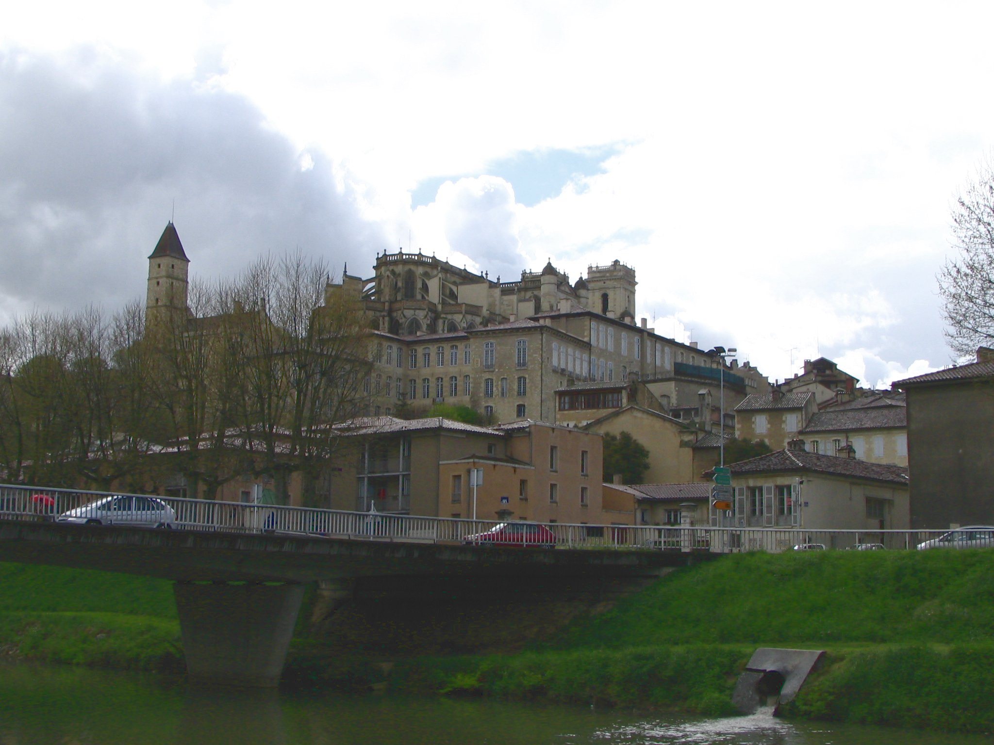
caption = Gers River in Auch.
origin = Pyrenees foothills
mouth = Garonne
coord|44|8|40|N|0|38|52|E|name=Garonne-Gers|display=inline,title
basin_countries = France
length = 176 km
elevation =
discharge = 9 m³/s
watershed = 1,230 km²
The Gers (Occitan: "Gers") is a 178 km long river in southern France, left tributary of the Garonne.

Its source is in the foothills of the Pyrenees, near Lannemezan. It flows north through the "départements" Hautes-Pyrénées, Gers and Lot-et-Garonne. It flows into the Garonne near Agen. The city Auch lies along the river Gers. It gives its name to the Gers "département".

References

*http://www.geoportail.fr
* [http://sandre.eaufrance.fr/app/chainage/courdo/htm/O6--0250.php?cg=O6--0250 The Gers at the Sandre database]


Wikimedia Foundation. 2010.

Игры ⚽ Нужно решить контрольную?

Look at other dictionaries:

  • Gers (Fluss) — Gers Der Gers durchfließt die Stadt AuchVorlage:Infobox Fluss/KARTE fehlt Daten …   Deutsch Wikipedia

  • Gers — For the football team, see Rangers FC. For the annual GERS report, see Government Expenditure and Revenue Scotland. Gers   Department   …   Wikipedia

  • Montréal, Gers — Montréal …   Wikipedia

  • Condom, Gers — Condom Condom Cathedral …   Wikipedia

  • Montestruc-sur-Gers — Montestruc sur Gers …   Wikipedia

  • Durban, Gers — Durban …   Wikipedia

  • Meilhan, Gers — Meilhan …   Wikipedia

  • Cologne, Gers — Cologne …   Wikipedia

  • Marseillan, Gers — Marseillan …   Wikipedia

  • Mascaras, Gers — Mascaras …   Wikipedia

Share the article and excerpts

Direct link
Do a right-click on the link above
and select “Copy Link”