- Narnaund
-
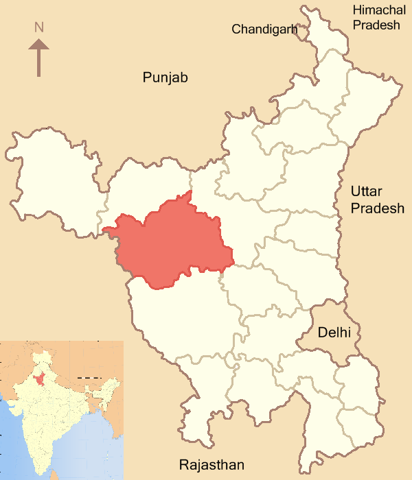
Narnaund — city — Coordinates 29°13′N 76°09′E / 29.22°N 76.15°ECoordinates: 29°13′N 76°09′E / 29.22°N 76.15°E Country India State Haryana District(s) Hisar Population 15,114 (2001[update]) Time zone IST (UTC+05:30) Area
• 208 metres (682 ft)
Narnaund is an emerging city on Hansi - Chandigarh highway and a municipal committee in Hisar district in the Indian state of Haryana. The neghbouring city Jind is approximately 18 km away and another city Hansi being 23 km. The important villages surrounding Narnaund are Madha, Lauhari, Rajthal, Khanda Khedi, Baas and Petwad.
Narnaund is located at 29°13′N 76°09′E / 29.22°N 76.15°E.[1] It has an average elevation of 208 metres (682 feet).
Contents
Politics
Narnaund is a political aware constituency . Since many years, this constituency has been seen as anti-congress seat. Late Chaudhary Virender Singh was MLA from Narnaund from 1977 to 1996 and won four consecutive legislative assembly elections. He was hailed as a great jaat leader in the region and even till date he has a great mass following.Ch. Virender Singh was also cabinet minister in haryana thrice and once he had more than ten portfolios and is hailed as the pride and great son of the village. In 2009 assembly election, the seat reflected a three-way contest between the sitting MLA(RK Gautam), Ms Saroj Mor and Capt. Abhimanyu. But was won easily by, Ms Saroj Mor with a margin of 10,000 plus votes, with Mr. RK Gautam on second spot and Capt. Abhimanyu at third. In past, Mr. Surajmal, Mr. Sawrup singh, Sh.Amar Singh Dhanak, Mr. R.K Gautam, Mr. Jaswant Singh, Mr. Ram Bhagat also have represented Narnaund in legislative assembly of Haryana.
Narnaund falls under Hisar parliament constituency. In 2009 Lok sabha election Mr. Bhajan Lal become MP from this seat.
Demographics
As of 2001[update] India census,[2] Narnaund had a population of 15,114. Males constitute 54% of the population and females 46%. Narnaund has an average literacy rate of 57%, lower than the national average of 59.5%: male literacy is 67%, and female literacy is 44%. In Narnaund, 15% of the population is under 6 years of age.
Economy
Primarily, Narnaund is an agricultural based region with more than 80% people earn their livelihood via agriculture or related profession. This sub-tehsil boasts of a large anaaj mandi, and ever developing market along the highway.
References
- ^ Falling Rain Genomics, Inc - Narnaund
- ^ "Census of India 2001: Data from the 2001 Census, including cities, villages and towns (Provisional)". Census Commission of India. Archived from the original on 2004-06-16. http://web.archive.org/web/20040616075334/http://www.censusindia.net/results/town.php?stad=A&state5=999. Retrieved 2008-11-01.
Hisar district topics Cities and towns 
Education Chaudhary Charan Singh Haryana Agricultural University · Guru Jambheshwar University of Science and TechnologyEconomy Jindal Steel and PowerTransport Lok Sabha constituencies HisarCategories:- Cities and towns in Hisar district
- Haryana geography stubs


Wikimedia Foundation. 2010.