- Moritzburg
-
Moritzburg 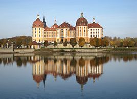


 MoritzburgLocation of Moritzburg within Meißen district
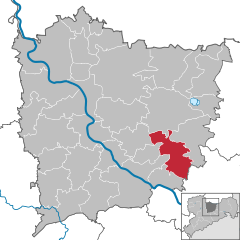

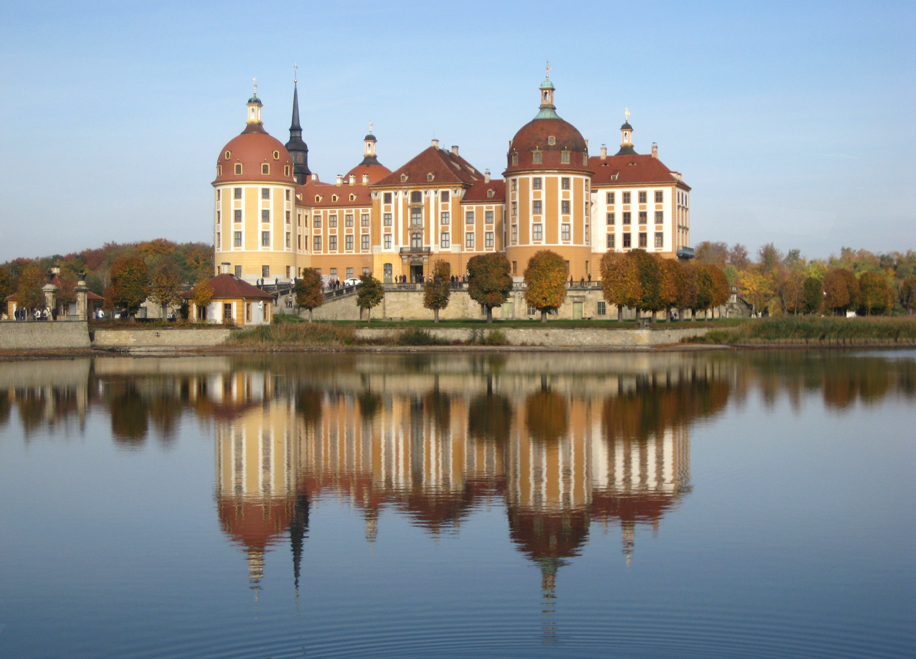
Coordinates 51°09′54″N 13°40′46″E / 51.165°N 13.67944°ECoordinates: 51°09′54″N 13°40′46″E / 51.165°N 13.67944°E Administration Country Germany State Saxony Admin. region Dresden District Meißen Mayor Georg Reitz (CDU) Basic statistics Area 46.37 km2 (17.90 sq mi) Elevation 166 m (545 ft) Population 8,262 (31 December 2010)[1] - Density 178 /km2 (461 /sq mi) Other information Time zone CET/CEST (UTC+1/+2) Licence plate MEI Postal codes 01466–01468 Area codes 035207, 0351 Website www.moritzburg.de Moritzburg is a municipality in the district of Meißen in Saxony, Germany, between Meißen as early centre of Saxony and the today's capital Dresden. It is most famous for its Baroque castle, Schloss Moritzburg.
The village became a market in 1675. The Saxon state stud has been located in Moritzburg since 1828. In 1884 a narrow gauge railway, the Radebeul-Radeburg line, was built connecting Moritzburg to the district capital Radebeul and Radeburg. The German painter Käthe Kollwitz lived in the Rüdenhof in Moritzburg from 1944 until her death on 1945-04-22 at the invitation of Prince Ernst Heinrich von Wettin. In 1995 a small museum was opened in the Rüdenhof.
Twin towns
 Cochem, Germany.
References
- ^ "Bevölkerung des Freistaates Sachsen jeweils am Monatsende ausgewählter Berichtsmonate nach Gemeinden" (in German). Statistisches Landesamt des Freistaates Sachsen. 31 December 2010. http://www.statistik.sachsen.de/download/010_GB-Bev/Bev_Gemeinde.pdf.
Coswig | Diera-Zehren | Ebersbach | Glaubitz | Gröditz | Großenhain | Hirschstein | Käbschütztal | Ketzerbachtal | Klipphausen | Lampertswalde | Leuben-Schleinitz | Lommatzsch | Meissen | Moritzburg | Nauwalde | Niederau | Nossen | Nünchritz | Priestewitz | Radebeul | Radeburg | Riesa | Röderaue | Schönfeld | Stauchitz | Strehla | Tauscha | Thiendorf | Triebischtal | Weinböhla | Weißig am Raschütz | Wülknitz | Zeithain Categories:
- Municipalities in Saxony
- Meißen District
- Saxony geography stubs


Wikimedia Foundation. 2010.