- Oakwood, Leeds
-
Coordinates: 53°49′37″N 1°30′18″W / 53.827°N 1.505°W
Oakwood 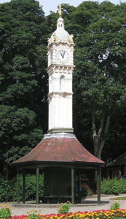
The Oakwood Clock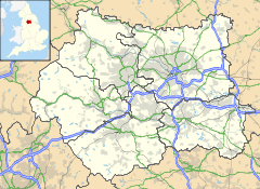
 Oakwood
Oakwood shown within West YorkshireMetropolitan borough City of Leeds Metropolitan county West Yorkshire Region Yorkshire and the Humber Country England Sovereign state United Kingdom Post town LEEDS Postcode district LS8 Dialling code 0113 Police West Yorkshire Fire West Yorkshire Ambulance Yorkshire EU Parliament Yorkshire and the Humber UK Parliament Leeds North East List of places: UK • England • Yorkshire Oakwood is an affluent suburb of north-east Leeds, West Yorkshire, England, that lies between Gipton and Roundhay Park. It is within the LS8 postcode and part of the Roundhay City Council Ward.
Contents
Notable features
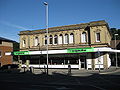
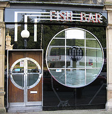 The Oakwood Fish Bar
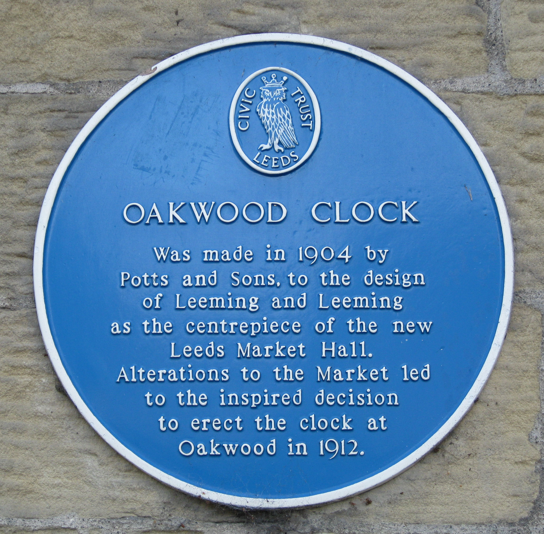
It is home to Oakwood Clock, a large clock that was built in 1904 by Potts and Sons to the design of Leeming and Leeming and is sited at the bottom end of Roundhay Park; it was first designed as the centrepiece of Kirkgate Market, Leeds. After the design of Kirkgate Market was revised it was considered that this clock would no longer be suitable for the building, and the idea to place it in Oakwood came about. Eight years after it was first built this clock was erected in Oakwood.[1]
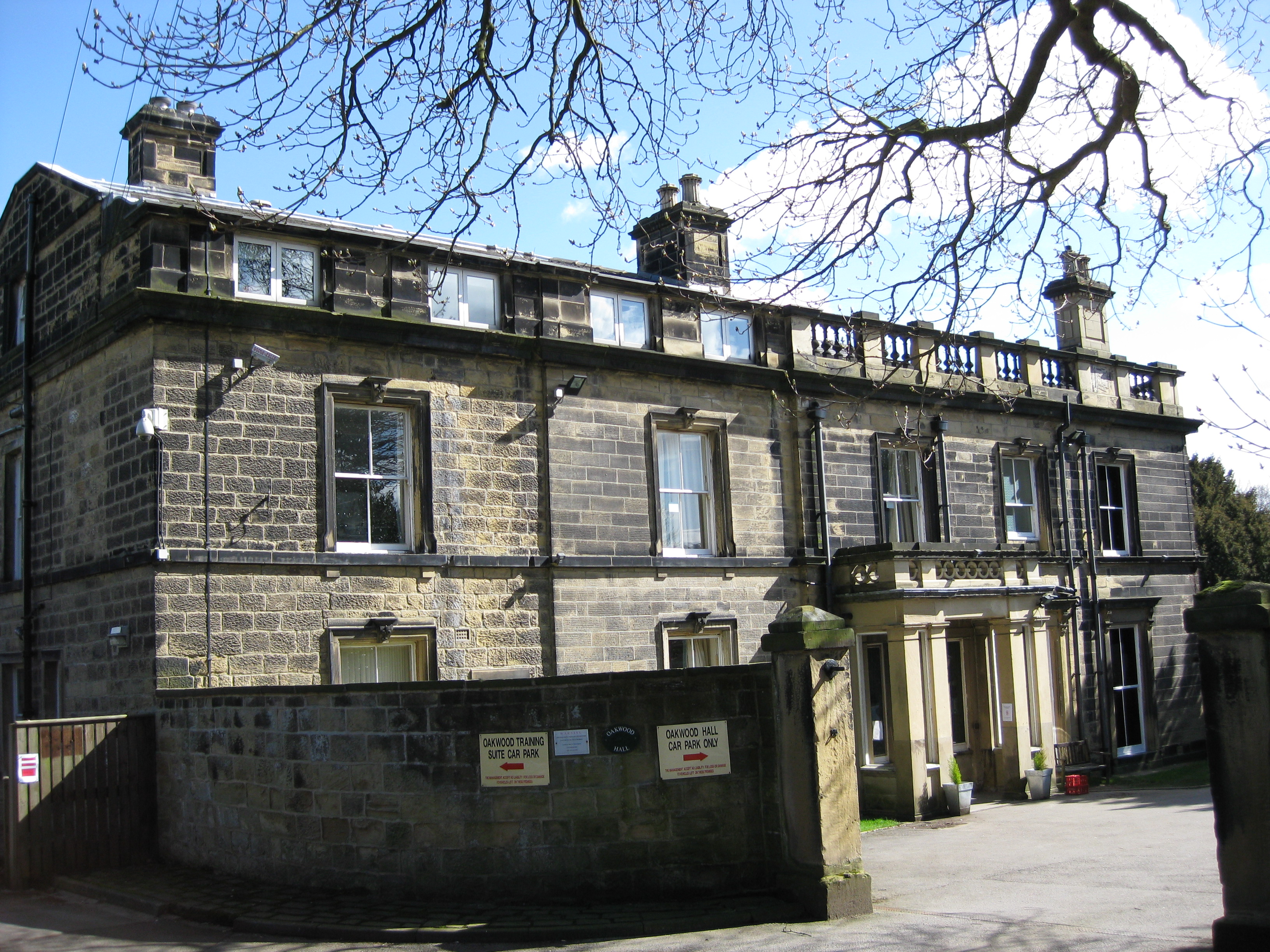
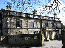 Oakwood Hall
Opposite the Clock on Roundhay Road is the Fish Bar, a Grade II Listed Building with an Art Deco frontage of black glass panels, which has been selling fish and chips since 1934.[2]
It was in the garden of Oakwood Grange that Louis Le Prince filmed the Roundhay Garden Scene in 1888, credited as the first motion picture.[3] Oakwood Grange was demolished in 1972 to make way for Oakwood Grange housing estate[4] but what would have been the adjacent stately home, Oakwood Hall still remains as a nursing home.[5]
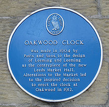 Plaque for the Oakwood Clock
Amenities
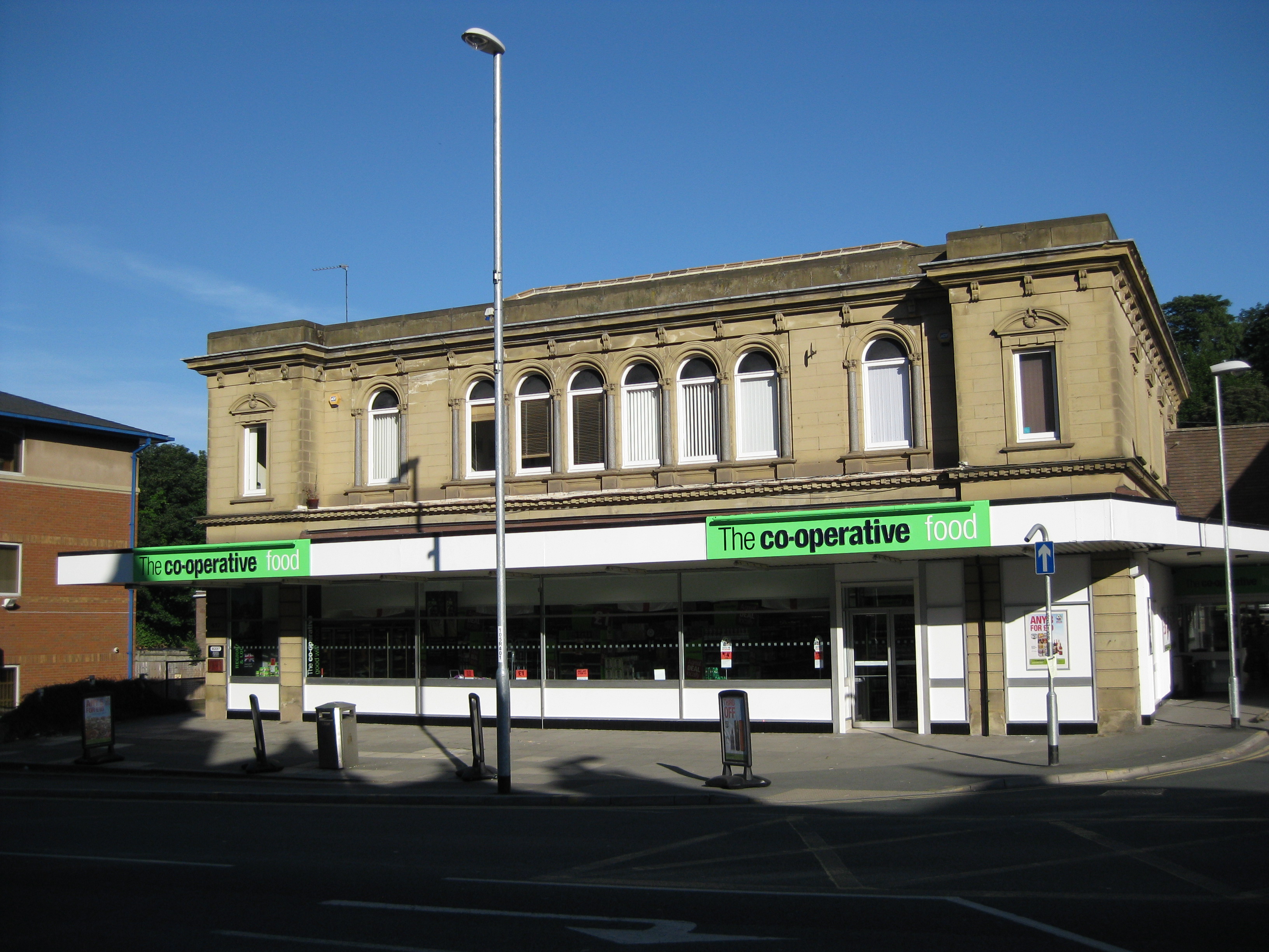
On Roundhay Road is the Post Office, a Co-op Supermarket (formerly Somerfield and before that Safeway), a Tesco, a Homebase and several shops and banks. The Post Office and Tesco refer to their location as 'Roundhay', while Oakwood is in the Roundhay ward, these businesses are generally considered to be in Oakwood, particularly as there is a Post Office in the heart of Roundhay on Street Lane. Oakwood public library is at number 1 Oakwood Lane[6] on the corner of the junction diagonally opposite the Oakwood clock.
Oakwood Farmers' Market
Held on the third Saturday of the month since March 15, 2008 around the Oakwood Clock, Oakwood Farmers' Market has become a regular feature. Organised by local residents in conjunction with Roundhay Environmental Action Project[7] the Oakwood Farmers' Market's goal is to provide quality local produce, some of which is organic, with local being defined at produce traveling no more than 20 miles to the market.[8] Receiving FARMA accreditation, being the second farmers' market in Leeds to have done so, has meant that the Oakwood Farmers' Market can display the FARMA logo to prove its status as a true farmers' market.[9] Regular stalls and 'feature' stalls provide a range of local products including: jams, meats, eggs, chocolates, bread and wide range of locally grown fruits and vegetables.[8] Seasonal holidays are celebrated with local musicians, artists and performers.
Associated areas
Because the LS8 postcode boundary includes Fearnville, Lady wood, Gipton Wood and Hollin Wood, these are sometimes considered part of Oakwood. This means that the A58 Easterly Road, built in 1930s, cuts across the area. For example, Oakwood Primary School is south of this road.
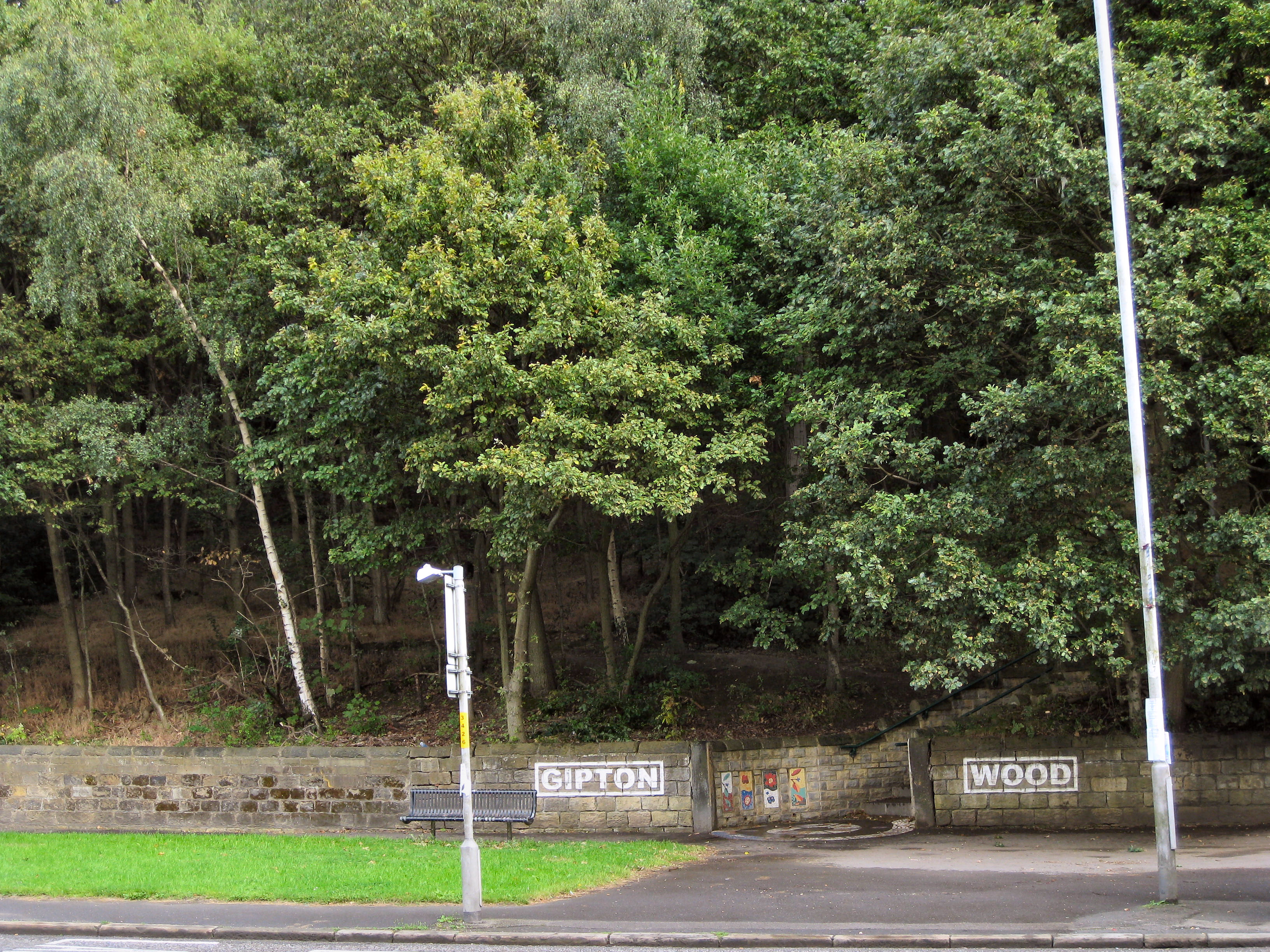
Gipton Wood
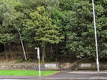 Gipton Wood from Roundhay Road
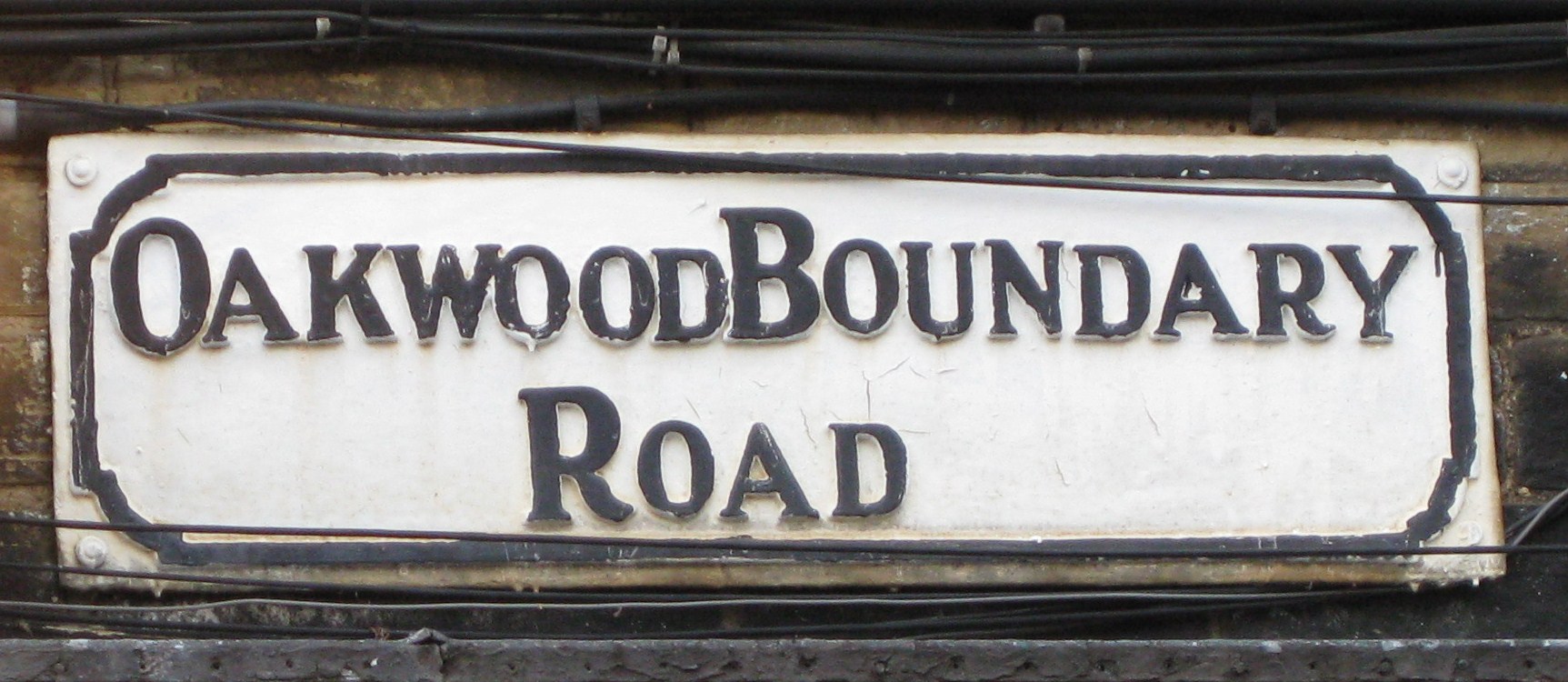
Gipton Wood refers to either an area of woodland or an area of housing adjacent to the wood in Leeds. The woodland is now triangular, bounded by the Oakwood Boundary Road on the northeast, Roundhay Road on the west and Copgrove Road on the southeast. It has an area of 8.2 hectares and is part of the Forest of Leeds.[10] It is ancient woodland, predominantly oak, sycamore, beech and hornbeam. It is maintained by the City of Leeds and a voluntary group, the Friends of Gipton Wood.[11]
The residential area known as Gipton Wood is south of the wood down to Easterley Road.
Gallery
-
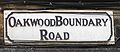
Oakwood Boundary Road on the North-East side of Gipton Wood
-
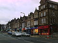
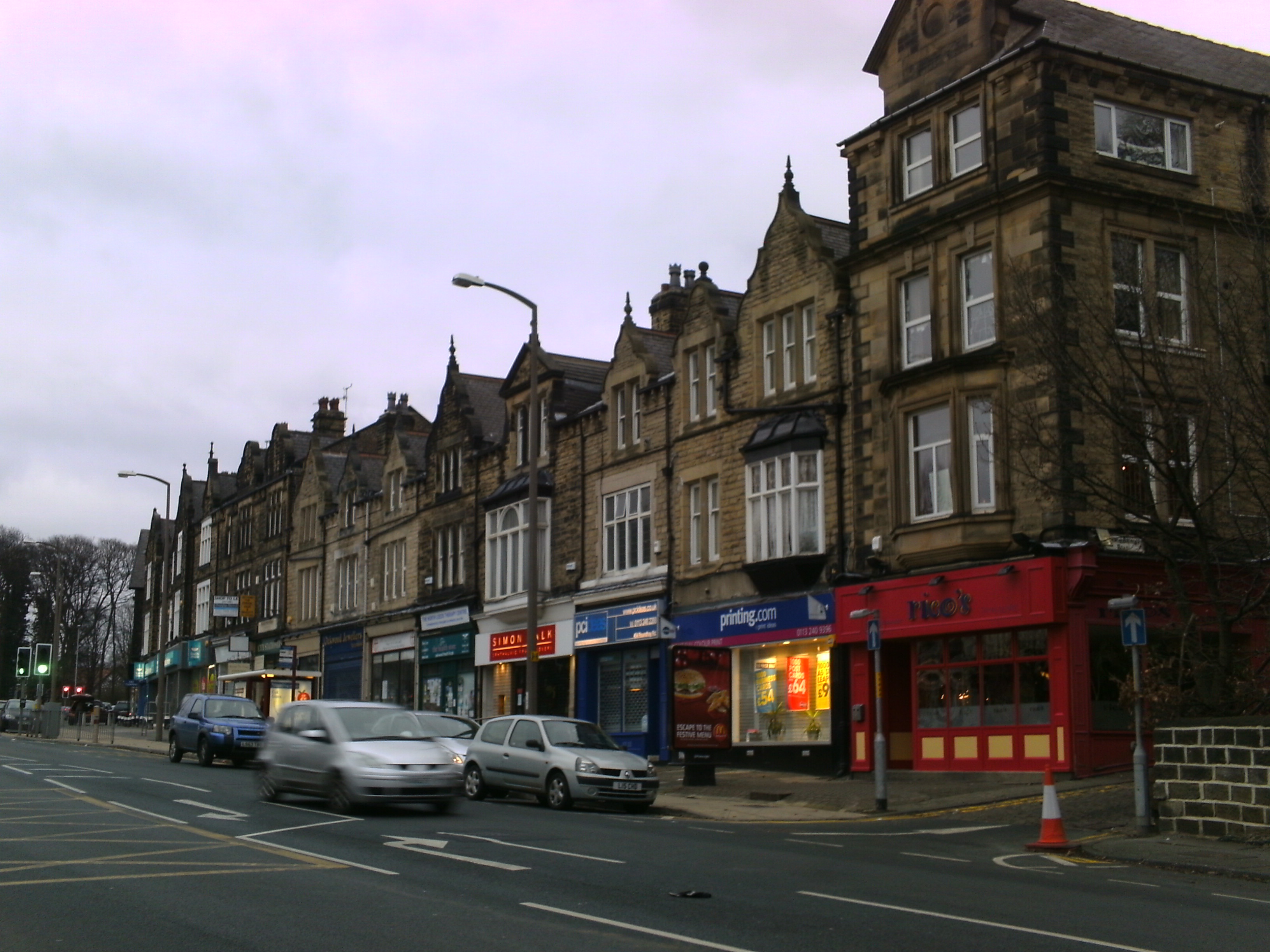
Shops on Roundhay Road
-
Co-op Roundhay Road
Location grid

Roundhay Gledhow 
Seacroft  Oakwood, Leeds

Gipton References
- ^ www.leodis.net Oakwood Clock
- ^ www.leodis.net Roundhay Road no. 492, Fish Bar
- ^ Internet Movie Database Roundhay Garden Scene
- ^ Roundhay Garden Scene 1888
- ^ www.commlinks.co.uk Oakwood Hall
- ^ www.leeds.gov.uk Oakwood Library
- ^ www.reap-leeds.org.uk Roundhay Environmental Action Project
- ^ a b www.oakwoodfarmersmarket.com Oakwood Farmers' Market Official website
- ^ www.farmersmarkets.net farmersmarkets.net
- ^ Forest of Leeds The Woodlands
- ^ Community Groups in Yorkshire
External links
Categories:- Places in Leeds
- Clocks
-


Wikimedia Foundation. 2010.