- Ménilmontant (Paris Métro)
-
Ménilmontant 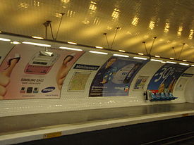
Date opened 31 January 1903 Accesses 139, boul. de Ménilmontant Municipality/
Arrondissementthe 11th arrondissement of Paris Fare zone 1 Next stations Paris Métro Line 2 Direction
Porte DauphineDirection
NationCouronnes Père Lachaise List of stations of the Paris Métro 
 Location of metro station
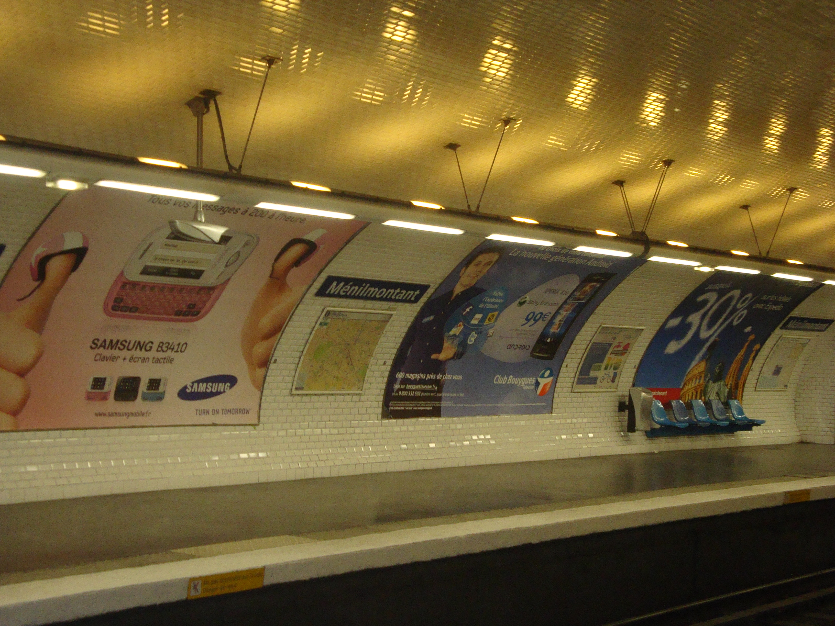
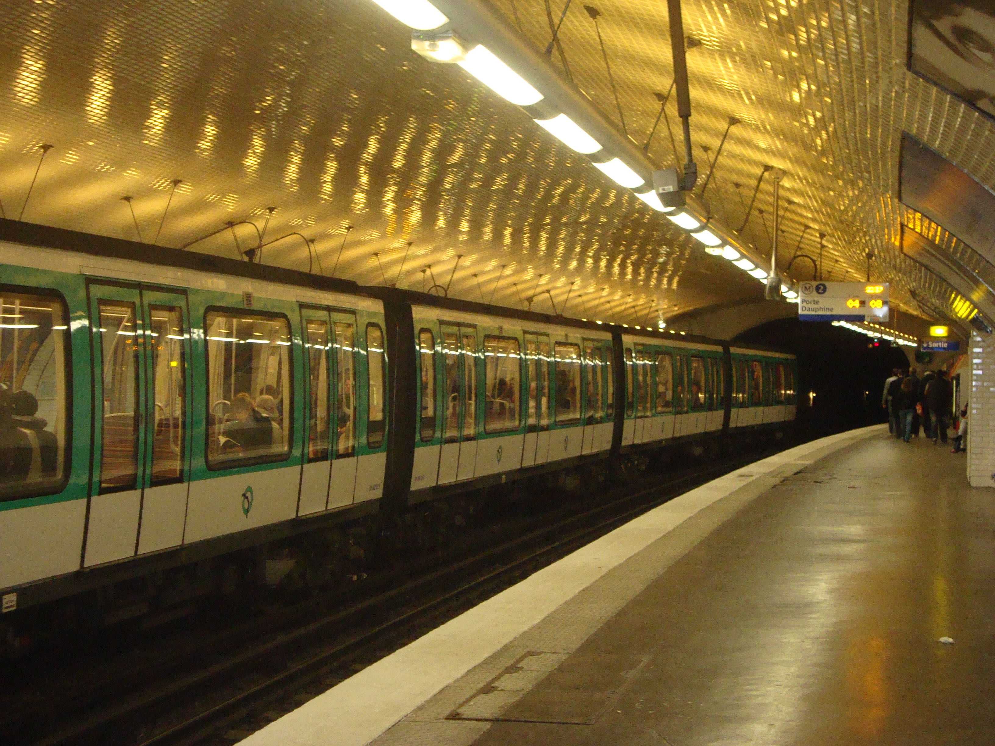
Ménilmontant is a station on Paris Métro Line 2, on the border of the 11th and 20th arrondissements.
Contents
History
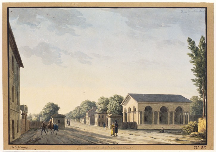
The station was opened on 31 January 1903 as part of the extension of line 2 (known at the time as "2 Nord") from Anvers to Bagnolet (now called Alexandre Dumas). It is named after the Boulevard de Ménilmontant, which was named after a hamlet, annexed by Belleville before the French Revolution and in turn by Paris in 1860. It was the location of the Barrière de Ménilmontant, a gate built for the collection of taxation as part of the Wall of the Farmers-General; the gate was built between 1784 and 1788 and demolished during the 19th century.[1]
Layout
Side Platform 
 towards Porte Dauphine towards Nation
Side Platform Gallery
References
Paris Métro Line 2 Porte Dauphine • Victor Hugo • Charles de Gaulle — Étoile


 • Ternes • Courcelles • Monceau • Villiers
  • Rome • Place de Clichy
  • Blanche • Pigalle
  • Anvers • Barbès — Rochechouart
  • La Chapelle ⇒
 • Stalingrad
 • Jaurès
  • Colonel Fabien • Belleville
  • Couronnes • Ménilmontant • Père Lachaise • Philippe Auguste • Alexandre Dumas • Avron • Nation
Coordinates: 48°51′58″N 2°23′01″E / 48.866248°N 2.383618°EThis article related to the Paris Métro is a stub. You can help Wikipedia by expanding it.