- Morris Heights, Bronx
-
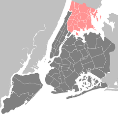
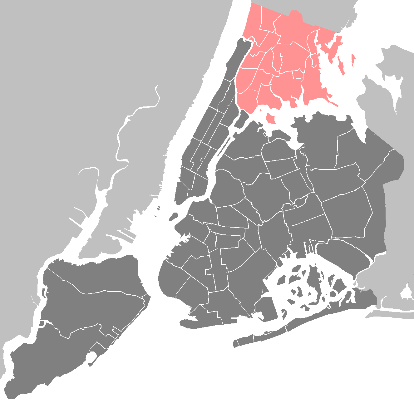
 Location of Morris Heights in New York City
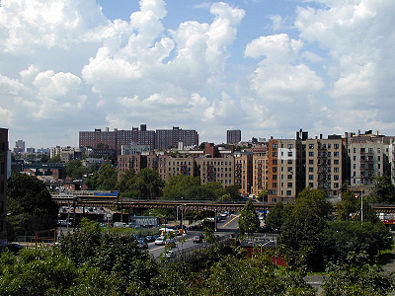

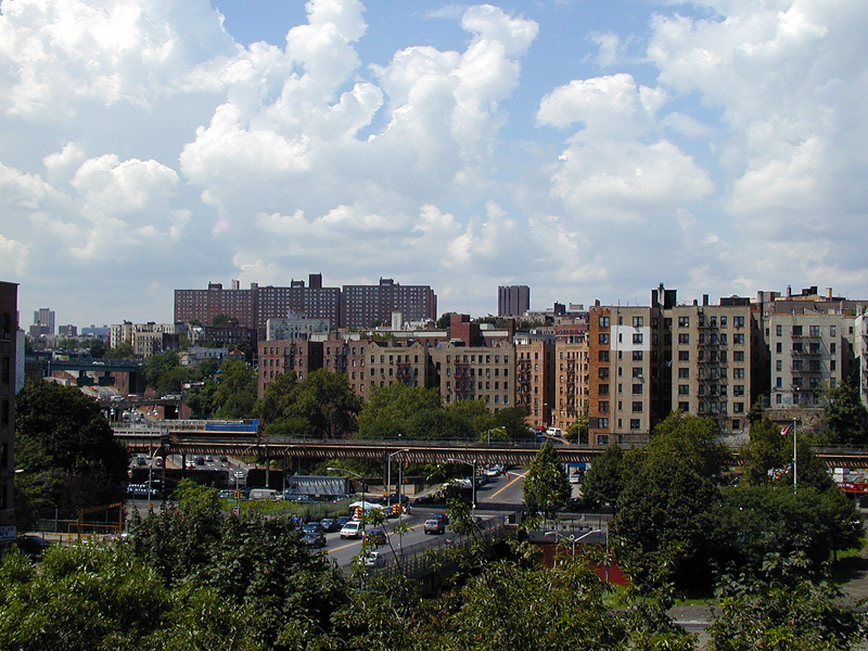
Morris Heights is a low income residential neighborhood located in the west Bronx. The neighborhood is part of Bronx Community Board 5. Its boundaries, starting from the north and moving clockwise are: West Burnside Avenue to the north, Jerome Avenue to the east, the Cross-Bronx Expressway to the south, and the Harlem River to the west. University Avenue is the primary thoroughfare through Morris Heights. The local subway is the IRT Jerome Avenue Line, operating along Jerome Avenue. ZIP codes include 10453 and 10452. The area is patrolled by the 46th Precinct located at 2120 Ryer Avenue in Fordham. New York City Housing Authority (NYCHA) property in the area is patrolled by P.S.A. 7 at 737 Melrose Avenue in the Melrose section of the Bronx.
Contents
Demographics
Morris Heights has a population over 45,000. For decades Morris Heights has been one of the poorest communities in America. Over half the population lives below the poverty line and receives public assistance (AFDC, Home Relief, Supplemental Security Income, and Medicaid). The vast majority of residents in the area are of Puerto Rican, Dominican, or African American descent. The vast majority of households are renter occupied.[1]
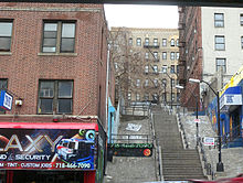 Clifford Place, a step street
Land use and terrain
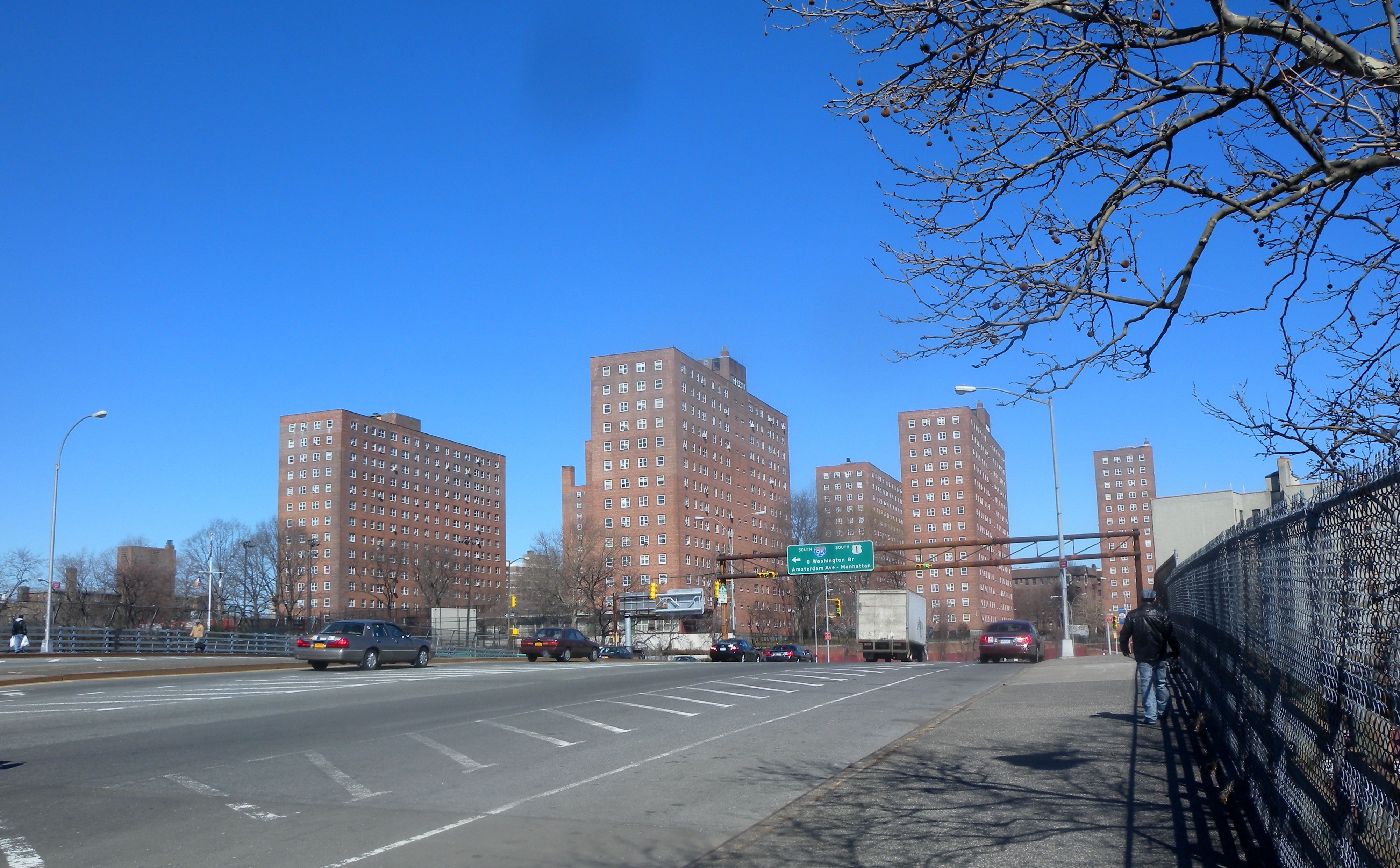
Morris Heights is dominated by 5 and 6-story tenement buildings, older multi-unit homes, vacant lots, and newly constructed subsidized attached multi-unit townhouses and apartment buildings. A significant percentage of the early 20th century housing stock was structurally damaged by arson and eventually razed by the city. The neighborhood contains one of the highest concentrations of NYCHA projects in the Bronx. The total land area is less than half one square mile. The terrain is elevated and very hilly. Stair streets connect areas located at different elevations.
Low income public housing projects
 Sedgwick Houses
Ten NYCHA developments are located in Morris Heights.[2]
- Harrison Avenue Rehab (Group A); one, 5-story rehabilited tenement building.
- Harrison Avenue Rehab (Group B); four rehabilitated buildings, 5 and 6-stories tall.
- Macombs Road; two rehabilited buildings, 5 and 6-stories tall.
- Morris Heights Rehab; three rehabilitated tenement buildings, 5 and 6-stories tall
- Sedgewick Houses; seven buildings, 14 and 15-stories tall.
- University Avenue Rehab; four, 6-story rehabilitated tenement buildings.
- West Tremont Avenue-Sedgwick Avenue Area; one, 12-story building.
- West Tremont Rehab (Group 1); two rehabilitated tenement buildings, 5 and 6-stories tall.
- West Tremont Rehab (Group 3); one, 5-story rehabilitated tenement building.
- West Tremont Rehab (Group 2); two, 6-story rehabilitated tenement buildings.
Urban renewal
After a wave of arson ravaged the low-income communities of New York City throughout the 1970s, many if not most residential structures in Morris Heights were left seriously damaged or destroyed. The city began to rehabilitate many formerly abandoned tenement-style apartment buildings and designate them low-income housing beginning in the late 1970s. Also many subsidized attached multi-unit townhouses and newly constructed apartment buildings have been or are being built on vacant lots across the neighborhood.
Schools
- PS 109 (Popham Avenue and West Tremont Avenue)
- PS 204: Morris Heights (West 174th Street and Nelson Avenue)
- PS 230/MS 229: Roland N. Patterson (Harlem River Park Bridge and Sedgwick Avenue)
- PS 306 (West Tremont and Jerome Avenues)
- PS 396/MS 390 (West Burnside and Andrews Avenues)
- IS 303: The Leadership and Community Service Academy (West 176th Street and Macombs Road)
- MS 232: The Academy School (West 176th Street and Macombs Road)
- MS 331: The Bronx School of Science Inquiry and Investigation (West Tremont and Davidson Avenue)
- HS 365: The Academy for Language and Technology High School (West 176th Street and Macombs Road)
Transportation
- Bx3: 238th Street station (1 train) to George Washington Bridge Bus Terminal (via University Avenue)
- Bx18: to Concourse–170th Street station (B D trains) (via Macombs Road)
- Bx32: VA Hospital to Third Avenue – 138th Street station (6 <6> trains) (via Morris Avenue)
- Bx36: Castle Hill to George Washington Bridge Bus Terminal (via 180th Street)
- Bx40: SUNY Maritime College to River Park Towers (via Tremont-Burnside Avenues)
- Bx42: Throggs Neck to River Park Towers (via Tremont–Burnside Avenues)
The IRT Jerome Avenue Line and the IND Concourse Line are subway lines serve the neighborhood.
- 170th Street (4 train)
- Mount Eden Avenue (4 train)
- 176th Street (4 train)
- Burnside Avenue (4 train)
- 174th–175th Streets (B D train)
- Tremont Avenue (B D train)
Facts
- Morris Heights is also known as West Tremont.
- Eleanor Bumpurs was shot dead by police in 1984 after she attempted to attack officers enforcing an eviction. Many feel the shooting was not justified due to the victim's mental complications.[citation needed]
- Morris Heights is often considered part of the socioeconomic South Bronx.
See also
- Huron Lightship
- 1520 Sedgwick Avenue
References
External links
- Living in Morris Heights - slideshow by The New York Times
Neighborhoods in the New York City Borough of The Bronx Allerton · Baychester · Bedford Park · Belden Point · Belmont (Arthur Avenue) · Castle Hill · City Island · Clason Point · Crotona Park East · Co-op City · Country Club · East Bronx · Eastchester · East Tremont · Edenwald · Ferry Point Park · Fieldston · Fordham · Harding Park · Highbridge · Hudson Hill · Hunts Point · The Hub · Kingsbridge · Kingsbridge Heights · Locust Point · Longwood · Marble Hill · Melrose · Morrisania · Morris Heights · Morris Park · Mott Haven · North Bronx · North Riverdale · Norwood · Olinville · Parkchester · Pelham Bay · Pelham Gardens · Pelham Parkway · Port Morris · Riverdale · Silver Beach · Soundview · South Bronx · Spuyten Duyvil · Throggs Neck · Tremont · University Heights · Van Cortlandt Village · Van Nest · Wakefield · West Bronx · West Farms · Williamsbridge Woodlawn

Community Boards: 1 · 2 · 3 · 4 · 5 · 6 · 7 · 8 · 9 · 10 · 11 · 12 Coordinates: 40°50′59″N 73°55′11″W / 40.8498223°N 73.9198590°W
Categories:- Neighborhoods in the Bronx

Wikimedia Foundation. 2010.