- Modbury, South Australia
-
Modbury
Adelaide, South Australia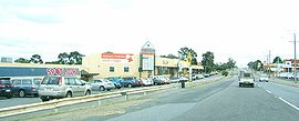
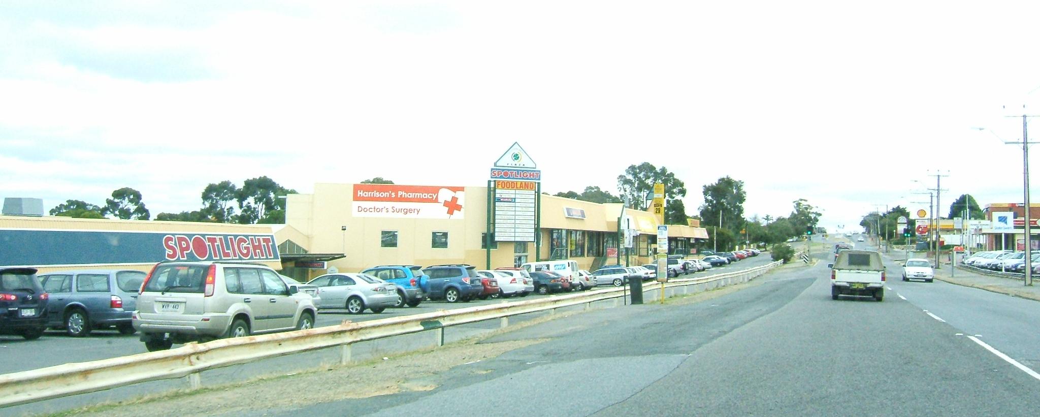
Shopping precinct in ModburyEstablished: 1857 Postcode: 5092 Suburbs around Modbury: Modbury North Modbury Heights Ridgehaven Valley View Modbury St Agnes Holden Hill Hope Valley Hope Valley Modbury is a suburb of Adelaide, South Australia in the City of Tea Tree Gully. Modbury is located at the end of the Adelaide O-Bahn and is home to the Tea Tree Plaza shopping complex and a Hospital.
It was named Modbury by R. S .Kelly, on 1 September 1840, after his native town in Devonshire.[1]
Contents
Schools
The suburb of Modbury contains one high school (Modbury High School) and one Primary School (Modbury West). However, there are many other schools in the surrounding areas which also bear the name Modbury. Modbury South Primary for example is located in the suburb of Hope Valley. There is also another primary school named Modbury School which was originally in Modbury proper but relocated in the 1970's to what is now known as Modbury North.[2]
Modbury is also home to the Tea Tree Gully TAFE Campus.[3]
Government
The suburb of Modbury is located within the Australian House of Representatives Seat of Makin, and the South Australian House of Assembly Seat of Florey.
The Local Government Area is the City of Tea Tree Gully and its chambers are located within this Suburb.[4]
Sport and recreation
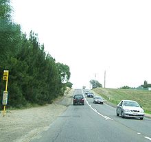 Montague Road
There are many sporting teams in Modbury - Modbury Hawks (Australian rules football), Modbury Jets (Soccer), Modbury Tennis Club and Modbury Bowling Club.
A large park central in the suburb is known as Civic Park it is located across the road from Tea Tree Plaza. Its a popular spot for barbecues and picnics in summer.
References
Suburbs of the City of Tea Tree Gully Banksia Park · Dernancourt · Fairview Park · Gilles Plains · Golden Grove · Gould Creek · Greenwith · Gulfview Heights · Highbury · Holden Hill · Hope Valley · Houghton · Modbury · Modbury Heights · Modbury North · Para Hills · Redwood Park · Ridgehaven · St Agnes · Salisbury East · Salisbury Heights · Surrey Downs · Tea Tree Gully · Upper Hermitage · Valley View · Vista · Wynn Vale · Yatala ValeCoordinates: 34°50′S 138°41′E / 34.833°S 138.683°E
Categories:- Suburbs of Adelaide
- Adelaide geography stubs

Wikimedia Foundation. 2010.