- Bilinga, Queensland
Infobox Australian Place | type = suburb
name = Bilinga
city = Gold Coast
state = Queensland
caption =
lga = Gold Coast City
postcode = 4225
est =
pop = 1,436
area =
propval =
stategov = Bilinga
fedgov = Moncrieff
near-nw = Tugun
near-n =Pacific Ocean
near-ne =Pacific Ocean
near-w = Pigabeen
near-e = Coolangatta
near-sw = Pigabeen
near-s = Tweed Heads West
near-se = Tweed Heads
dist1 =
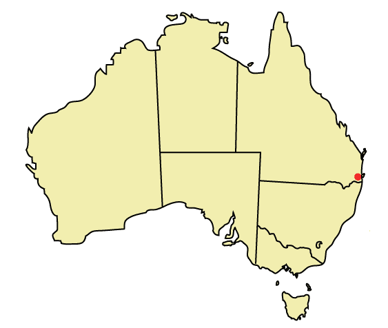
location1=Bilinga is a southern suburb of the Gold Coast located on the Nerang-Tweed Railway line.
Etymology
The word “Bilinga” is derived from the Aboriginal word “'Bilinba”, or bats. This name was adopted in 1918 as a place name for
Crown Lands north of Coolangatta.Subsequent to 1919, the catalyst for an increase in development was said to be the erection of a general store, owned by businessman Percy Hanzel, near the rail siding. Furthermore, increased development could be attributed to a new coastal road, which improved access to the area for holiday makers and residents.Bilinga currently holds the Gold Coast's smallest population, with only 1709 people, but has the second oldest population of residents in Australia.
The video for DJ Khaled's "
I'm So Hood " was partially recorded on Pacific Parade in 2007.ee also
*
Suburbs of the Gold Coast External links
* [http://www.goldcoastcity.com.au/t_standard.aspx?pid=988 Heritage Tour - Bilinga]
* [http://www.verygc.com/places_to_discover/bilinga.html Very GC - Bilinga]References
* Gresty, J.A., The Numinbah Valley: Its Geography, History and Aboriginal Associations
* Watson, F.E Vocabularies of Four Representative Tribes of South East Queensland
* Kerr, John. Destination South Brisbane, p.45
Wikimedia Foundation. 2010.