- Tugun, Queensland
Infobox Australian Place | type = suburb
name = Tugun
city = Gold Coast
state = Queensland
caption =
lga = Gold Coast City
postcode = 4224
est =
pop = 4,821
area =
propval =
stategov = Tugun
fedgov = Moncrieff
near-nw = Currumbin
near-n = "Pacific Ocean"
near-ne = "Pacific Ocean"
near-w = Currumbin Waters
near-e = "Pacific Ocean"
near-sw = Pigabeen
near-s = Pigabeen
near-se = Bilinga
dist1 =
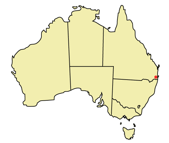
location1=Tugun is a beachside suburb of the City of the Gold Coast, in the state of
Queensland ,Australia . Its name is believed to have derived from an Indigenous word of unknown dialect meaning "breaking waves". [http://www.nrm.qld.gov.au/property/placenames/detail.php?id=43356]Tugun is situated at the junction of the Pacific and Gold Coast highways 7 km north-west of Coolangatta and 96 km south of
Brisbane , the state capital. The junction is notoriously traffic-clogged, however this situation will likely change upon completion of theTugun Bypass by June 2008. Tugun is a popular holiday destination, with a number of holiday units and motels lining Tugun Beach. Tugun has many shops located on its Golden-Four Drive strip.Locals fondly call Tugun, Tugz (pronounced choo-gs) and it is widely considered a 'friendly' beach, in the sense that non-local surfers are welcomed by the local surf-goers. Its post code is 4224.
It's joined to its neighbouring suburbs of Currumbin and Bilinga via the
Gold Coast Oceanway .LANDMARKS:
The Village Store (referred to as The Vil)
The Tugun Fruit and Vegetable Market (referred to as The Fruit Market)
Flat Rock (Flatty); famous for its notorious and wild 'Flat Rock Parties'FAMOUS LOCALS:
Stace Galbraith (Qualified WCT pro surf judge)
Schapelle Corby ee also
*
Suburbs of the Gold Coast
*Tugun Bypass External links
* [http://www.goldcoast.qld.gov.au/t_standard2.aspx?pid=1084 Heritage Tours - Tugun] from the [http://www.goldcoast.qld.gov.au/default.aspx Gold Coast City Council]
Wikimedia Foundation. 2010.