- Dyer, Nevada
-
Dyer — Village — Location within the state of Nevada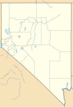
 Dyer
DyerCoordinates: 37°40′04″N 118°04′03″W / 37.66778°N 118.0675°WCoordinates: 37°40′04″N 118°04′03″W / 37.66778°N 118.0675°W Country United States State Nevada County Esmeralda Time zone Pacific (PST) (UTC-8) - Summer (DST) PDT (UTC-7) ZIP Codes 89010 FIPS code GNIS feature ID Dyer is a small village in Esmeralda County, Nevada with a population of 110 as of the 2000 census. Dyer is located on State Route 264, near Nevada's border with California in the Fish Lake Valley. Air transportation is available at Dyer Airport.
External links
Municipalities and communities of Esmeralda County, Nevada County seat: Goldfield Unincorporated
communitiesDyer | Goldfield | Hardluck | Silver Peak

Ghost towns Blair | Coaldale | Gold Point | Lida | Palmetto
Categories:- Populated places in Esmeralda County, Nevada
- Unincorporated communities in Nevada
- Nevada geography stubs


Wikimedia Foundation. 2010.