- New York State Route 76
-
This article is about the current alignment of NY 76. For the former alignment of NY 76 in Oswego and Oneida Counties, see New York State Route 76 (1927–1930).
NYS Route 76
Route information Maintained by NYSDOT Length: 19.35 mi[2] (31.14 km) Existed: 1930[1] – present Major junctions South end:  NY 474 in Clymer
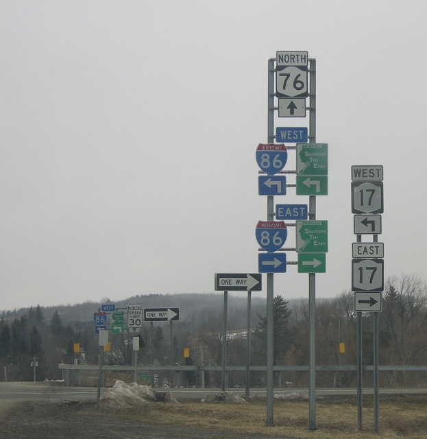
 I-86 / NY 17 in Sherman
North end:  NY 5 in Ripley
Location Counties: Chautauqua Highway system Numbered highways in New York
Interstate • U.S. • N.Y. (former) • Reference • County←  NY 75
NY 75NY 77  →
→New York State Route 76 (NY 76) is located entirely within Chautauqua County, New York, United States. It runs north–south from NY 474 in the hamlet of North Clymer in the town of Clymer at its southern end to NY 5 along the Lake Erie shoreline in the town of Ripley. It crosses both the Southern Tier Expressway (Interstate 86 and NY 17) and the New York State Thruway (Interstate 90), although it does not connect to the latter.
Contents
History
The entirety of NY 76 was assigned as part of the 1930 renumbering of state highways in New York.[1] The bridge carrying NY 76 over the New York State Thruway in Ripley was built as part of the Thruway's construction in 1957.[3]
Major intersections
The entire route is in Chautauqua County.
Location Mile[2] Destinations Notes Clymer 0.00 NY 474Hamlet of North Clymer Village of Sherman 5.74 I-86 / NY 17Exit 6 (I-86 / NY 17) 6.18  NY 430 east
Eastern terminus of NY 76 / NY 430 overlap 6.28 NY 430 westWestern terminus of NY 76 / NY 430 overlap Ripley 18.31  US 20
US 2019.35 NY 51.000 mi = 1.609 km; 1.000 km = 0.621 mi References
- ^ a b Pennsylvania Department of Highways (1930) (PDF). Tourist Map of Pennsylvania (Map). ftp://ftp.dot.state.pa.us/public/pdf/BPR_pdf_files/Maps/Statewide/Historic_OTMs/1930fr.pdf. Retrieved May 26, 2009.
- ^ a b "2008 Traffic Volume Report for New York State" (PDF). New York State Department of Transportation. June 16, 2009. pp. 130–131. https://www.nysdot.gov/divisions/engineering/technical-services/hds-respository/NYSDOT%20TVR%202008%20by%20Route.pdf. Retrieved January 31, 2010.
- ^ Federal Highway Administration (2008). "Structure 1030020". National Bridge Inventory. United States Department of Transportation. http://nationalbridges.com/nbi_record.php?StateCode=36&struct=000000001030020. Retrieved June 19, 2009.
External links
Categories:- State highways in New York
- Transportation in Chautauqua County, New York

Wikimedia Foundation. 2010.