- Titlis
-
Titlis 
TitlisElevation 3,238 m (10,623 ft) Prominence 970 m (3,182 ft) Parent peak Dammastock Listing Canton high point Location Obwalden/Berne,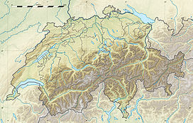
 Titlis
 Switzerland
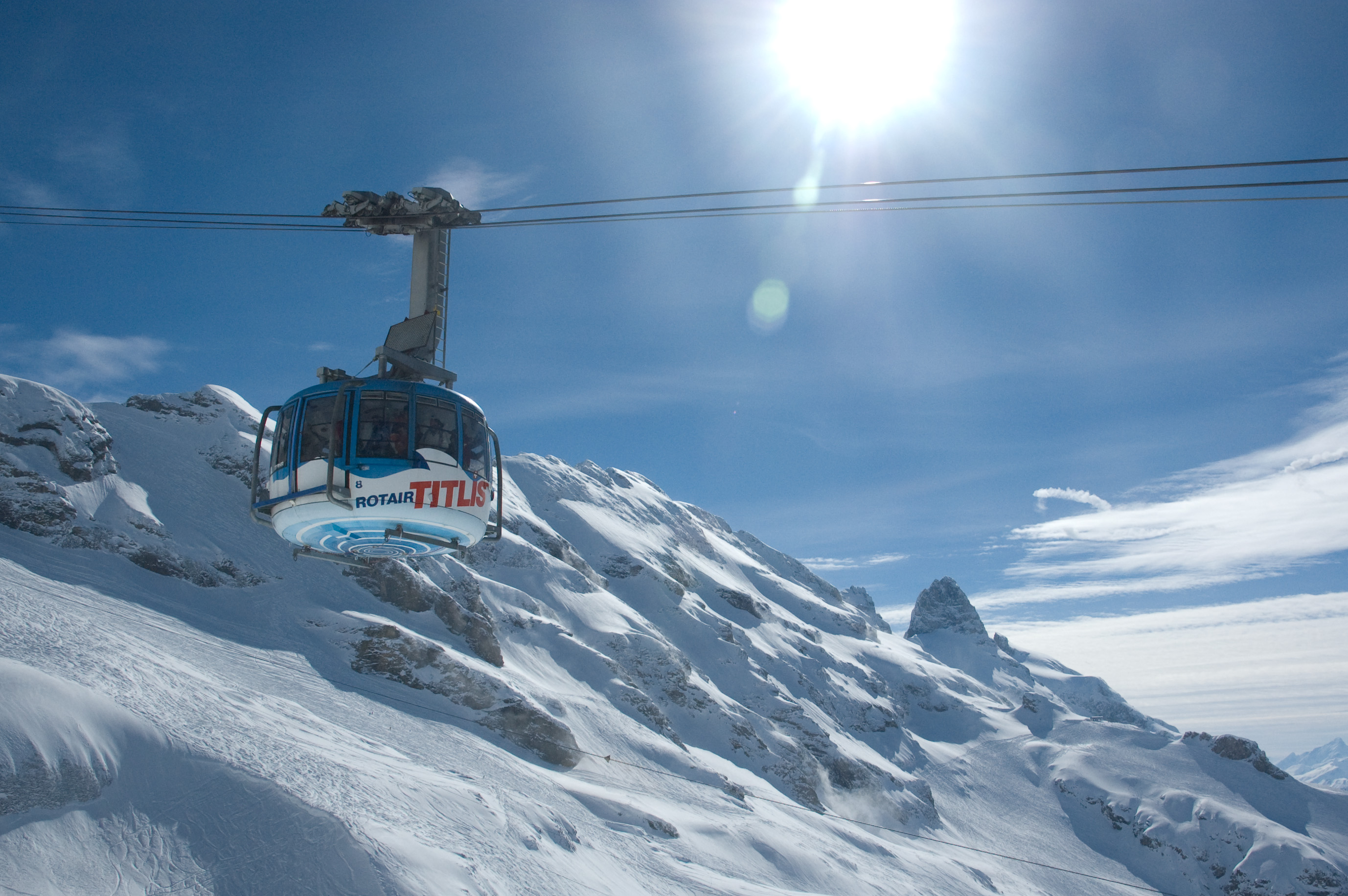
Range Urner Alps Coordinates 46°46′21″N 8°26′14″E / 46.7725°N 8.43722°ECoordinates: 46°46′21″N 8°26′14″E / 46.7725°N 8.43722°E Climbing First ascent 1739 The Titlis (3,238 m) is a mountain in the Urner Alps of Switzerland. It is located on the border between the cantons of Obwalden and Berne in Switzerland, overlooking Engelberg (Obwalden) and is famous as the site of the world's first revolving cable car. The cable car system connects Engelberg to the summit of Klein Titlis (3,028 m) through the three stages of Gerschnialp (1,262 m), Trübsee (1,796 m) and Stand (2,428 m).
The last part of cable car way leads above the glacier. In Klein Titlis, it is possible to visit a glacier cave.
Contents
Geography
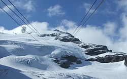
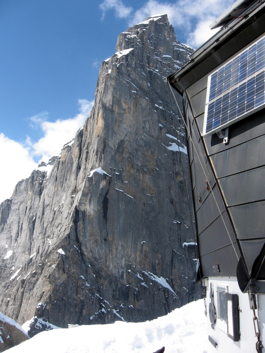
 The south-east spur seen from the Grassen
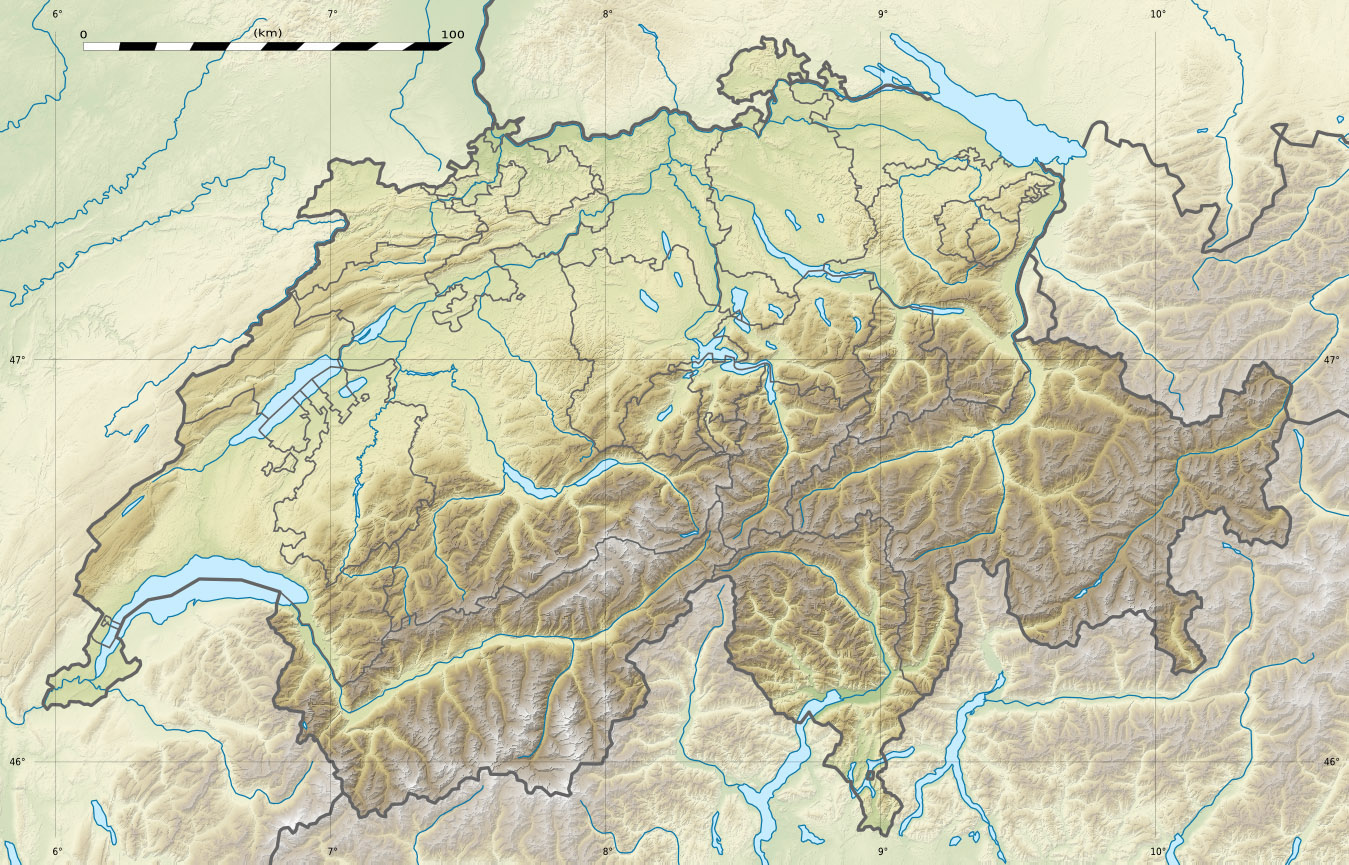
The Titlis is located between the municipalities of Engelberg on the north and Gadmen on the south. The summit lies west of the Grassen, where the borders between the cantons of Obwalden, Nidwalden and Berne converge. The geographical center of the country is situated about 15 kilometers from the mountain.
The Titlis is the highest mountain in the portion of the Urner Alps north of the Susten Pass. This part of the range is located between the valleys of the Hasli (west) and the Reuss (east), thus separating the waters feeding the basins of the Aar and Reuss respectively. On the north side the valley of Engelberg (Engelbergertal) is drained by the Engelberger Aa, a tributary of the Reuss. The valley is located southwards from Lake Lucerne.
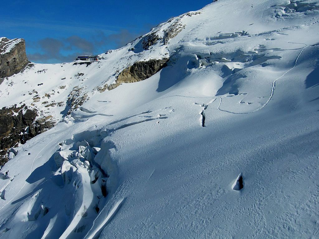
The northern side of the massif is covered by the Titlis Glacier (Titlisgletscher). The south steep and rocky face rises above the Wenden Glacier. The east side overlooks a glacier named Firnalpeligletscher.
History
In earlier times, the Titlis was known under the names Wendenstock or Nollen. The Reissend Nollen and the Wendenstöcke are the nearest western neighbours to the mountain, slightly lower than the Titlis, but with sharp rugged peaks.[1] In a document of 1435 the mountain is called Tuttelsberg (Tutilos mountain), referencing to a man named Tutilos, who was probably a local farmer. The name, from Tutilos Berg, became Titlisberg and later Titlis.[2]
The first ascent of the Titlis was probably made in the year 1739. It was done by Ignaz Herz, J. E. Waser and two other men from Engelberg[3]. The first written evidence of an ascent is found in the Engelberger Dokumente. They mention a party of four men that reached the summit in 1744.[1]
On 21 January 1904 the first ski ascent of the Titlis was made by Joseph Kuster and Willi Amrhein.[4]
In March 1967 the cable car to the Klein Titlis (3,032 m) was inaugurated.
Weather
The summit of the Titlis is located above the snow line, thus it has a cold, snowy climate with permanent snow cover and freezing temperatures.
Climate data for Jungfraujoch Month Jan Feb Mar Apr May Jun Jul Aug Sep Oct Nov Dec Year Average high °C (°F) −10.3
(13.5)−10.7
(12.7)−9.8
(14.4)−7.8
(18.0)−3.7
(25.3)−0.8
(30.6)1.7
(35.1)1.6
(34.9)0.2
(32.4)−2.5
(27.5)−7.2
(19.0)−9.2
(15.4)−4.9 Daily mean °C (°F) −13.6
(7.5)−14.2
(6.4)−13.1
(8.4)−10.8
(12.6)−6.7
(19.9)−3.7
(25.3)−1.2
(29.8)−1.2
(29.8)−2.6
(27.3)−5.2
(22.6)−10.4
(13.3)−12.3
(9.9)−7.9 Average low °C (°F) −16.6
(2.1)−16.8
(1.8)−15.7
(3.7)−13.4
(7.9)−9
(16)−5.9
(21.4)−3.4
(25.9)−3.3
(26.1)−5.1
(22.8)−7.6
(18.3)−12.8
(9.0)−15.3
(4.5)−10.4 Source: MeteoSchweiz [5] Gallery
-
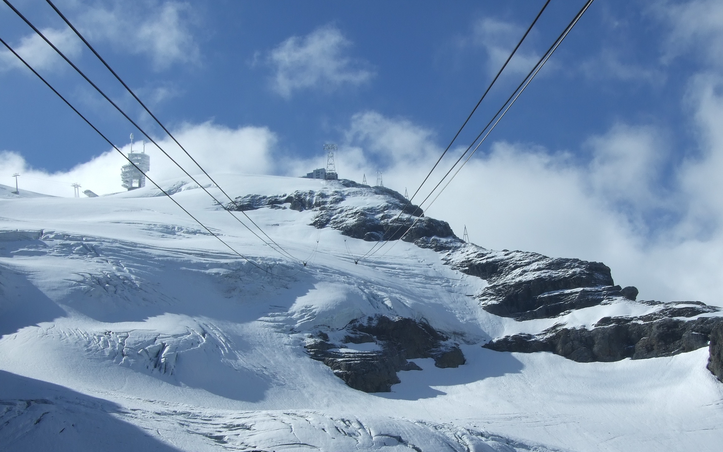
Engelberg-Titlis cableway
-

Titlis Glacier
-

Titlis cable car
References
- ^ a b Titlis brauchtumschweiz.ch. Retrieved 2010-02-16
- ^ Berge und ihre Namen berge.ch. Retrieved 2010-02-16
- ^ Kev Reynolds, Alpine pass route: Sargans to Montreux, p. 82
- ^ History of skiing fis-ski.com. Retrieved 2010-02-16
- ^ "Temperature and Precipitation Average Values-Table, 1961-1990" (in German, French, Italian). Federal Office of Meteorology and Climatology MeteoSwiss. http://www.meteoswiss.admin.ch/web/de/klima/klima_schweiz/tabellen.html. Retrieved 8 May 2009.
- Swisstopo maps
External links
Aargau • Appenzell Ausserrhoden • Appenzell Innerrhoden • Basel-City • Basel-Country • Berne • Fribourg • Geneva • Glarus • Graubünden • Jura • Lucerne • Neuchâtel • Nidwalden • Obwalden • Schaffhausen • Schwyz • Solothurn • St. Gallen • Thurgau • Ticino • Uri • Valais • Vaud • Zug • Zürich
Categories:- Mountains of Switzerland
- Mountains of the Alps
- Alpine Three-thousanders
- Visitor attractions in Switzerland
- Cable cars in Switzerland
- Highest points of Swiss cantons
- Engelberg
-
Wikimedia Foundation. 2010.