- Merritt 7 (Metro-North station)
-
Merritt 7 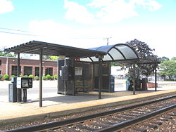
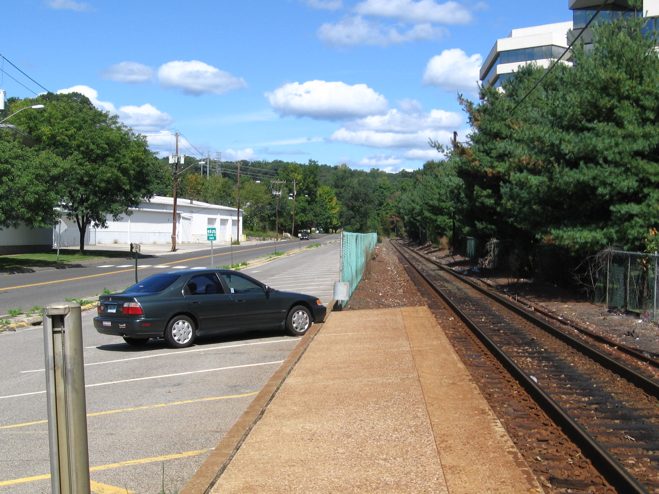
Trackside view of station shelterStation statistics Address 1 Glover Avenue
Norwalk, CT, 06850-1309Coordinates 41°08′48″N 73°25′40″W / 41.1466°N 73.4278°WCoordinates: 41°08′48″N 73°25′40″W / 41.1466°N 73.4278°W Lines Connections Norwalk Transit District: Route 7 Link
Housatonic Area Regional Transit: LPlatforms 1 side platform Tracks 1 Parking 88 Other information Opened 1985 Services Preceding station Metro-North Railroad Following station toward South Norwalk or Grand CentralDanbury Branch toward DanburyThe Merritt 7 Metro-North Railroad station serves the residents of the northern part of Norwalk, Connecticut via the Danbury Branch of the New Haven Line. Merritt 7 is named for a nearby business park based at the intersection of the Merritt Parkway and United States Route 7. The station is the only regular stop in the Metro-North system outside of the Waterbury Branch, the Pascack Valley Line, and the Port Jervis Line to have a low-level platform.
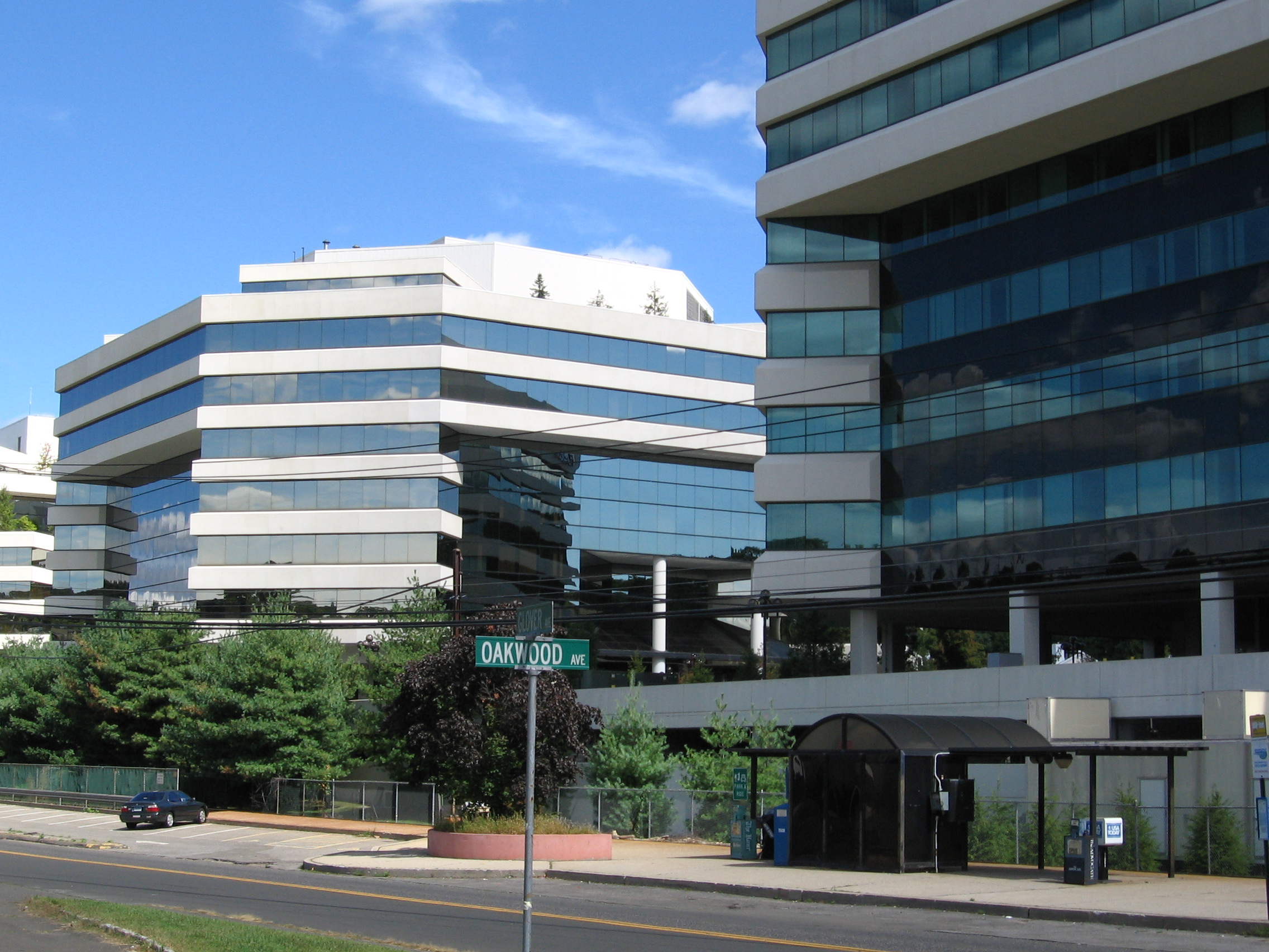
The Merritt-7 Office Complex built the station while separating the station from building entrances by a fence to make the complex transit adjacent but not transit-oriented.[1]
Merritt 7 is 45 miles (72 km) from Grand Central Terminal and the average travel time from Grand Central is 74 minutes. The station opened on July 29, 1985.[2]
The station has 88 parking spaces, all owned by the state.[3]
Contents
Platform and track configuration
This station has one seven-car-long low-level side platform to the west of the track. The Danbury Branch has one track at this location.
See also
- Connecticut Rail Commuter Council is the official state advocate for train commuters and brings station problems to the attention of officials.
Pictures
-
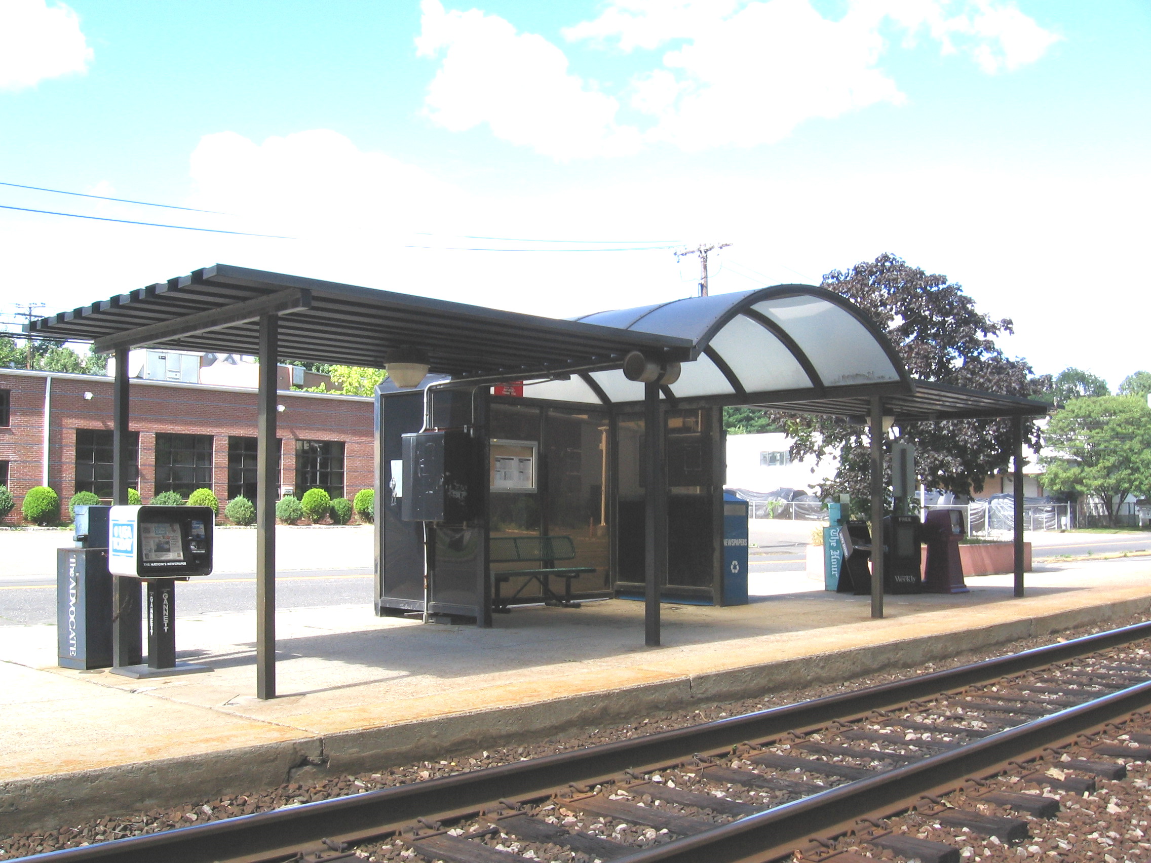
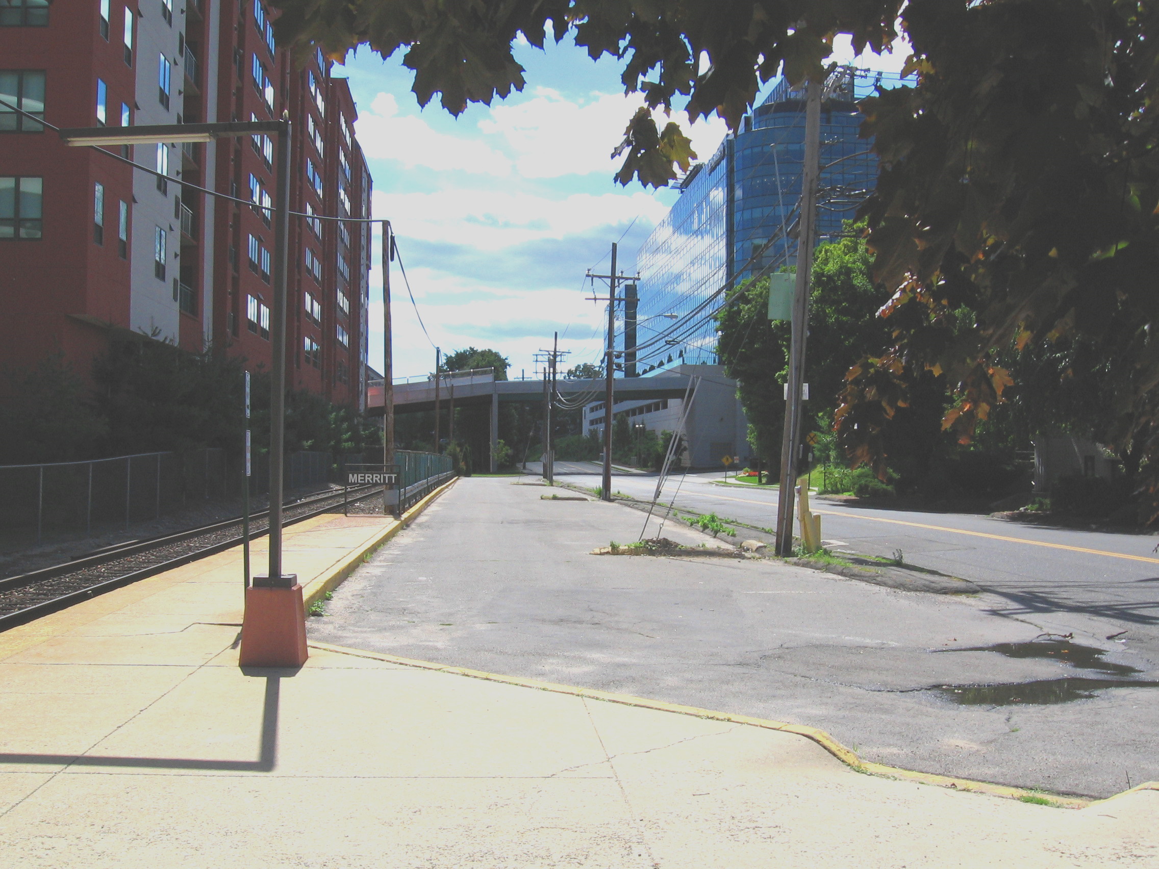
Shelter as seen from southwest
-

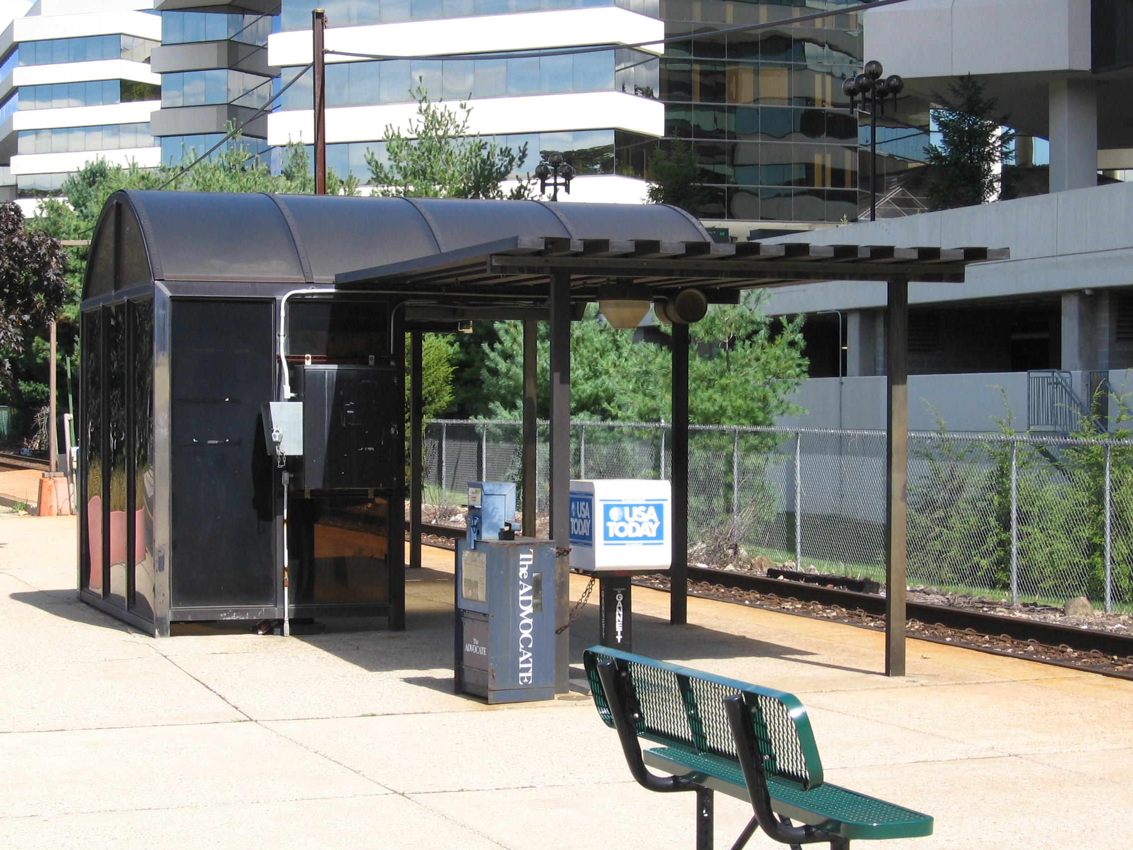
The tiny railroad station is dwarfed by neighboring office buildings
-

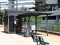
Parking at north side of station
-

Parking lot at station's south side
Notes
- ^ Connecticut Department of Transportation January 2007 Visual Inspection Report
- ^ Charles, Eleanor (July 28, 1985). "RAIL STATION FOR CORPORATE PARK". New York Times. http://select.nytimes.com/gst/abstract.html?res=F00A17F8395C0C7B8EDDAE0894DD484D81&n=Top%2fReference%2fTimes%20Topics%2fSubjects%2fR%2fRailroads.
- ^ "Task 2: Technical Memorandum parking Inventory and Utilization: Final Report" submitted by Urbitran Associates Inc. to the Connecticut Department of Transportation, "Table 1: New haven Line Parking Capacity and Utilization", page 6, July 2003
External links
- Metro-North Railroad - Merritt 7
- Bureau of Public Transportation of the Connecticut Department of Transportation, "Condition Inspection for the Merritt 7 Station" report dated August 2002
Categories:- Metro-North Railroad stations in Connecticut
- Norwalk, Connecticut
- Railway stations opened in 1985
- Railroad stations in Fairfield County, Connecticut
- Northeastern United States railway station stubs
Wikimedia Foundation. 2010.