- Florida State Road 804
Infobox FL State Road
type=state
length_mi=9.84 cite web|author=Florida Department of Transportation |url=http://www.dot.state.fl.us/planning/statistics/gis/default.htm|title=Florida GIS data|year=2007|publisher=FLDOT|accessdate=2007-11-15]
length_km=15.84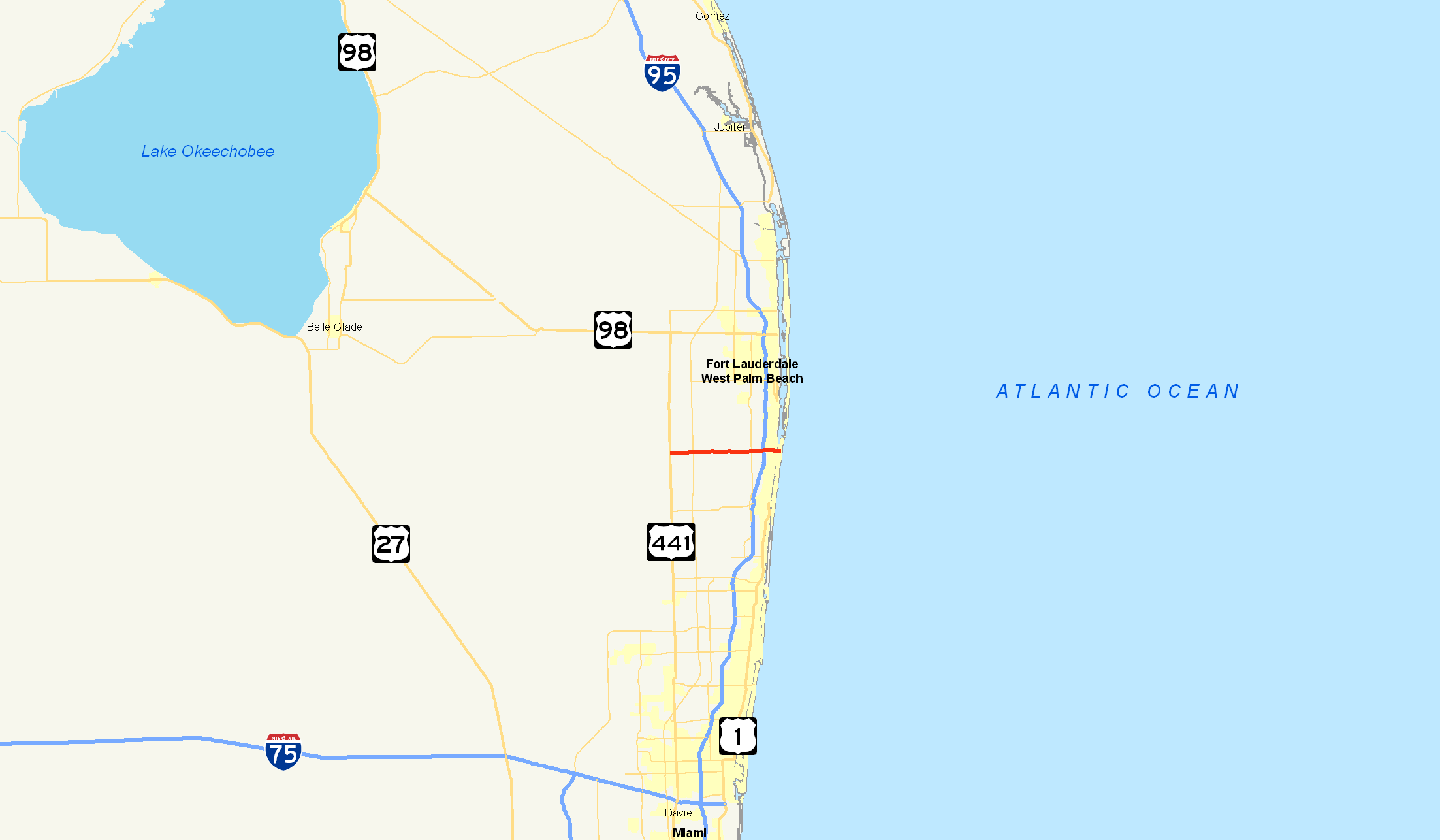
route=804
formed=Unknown
dir1=West
dir2=East
from= near Boynton Beach
junction= in Boynton Beach
to= in Boynton Beach
previous_type=state
previous_route=802
next_type=state
next_route=805State Road 804 is an east-west highway serving southern
Palm Beach County, Florida . It is known locally and signed as Boynton Beach Boulevard for nearly all of its route, with the exception of when the road becomes concurrent with US 1/SR 5 southward for two blocks, then continues along Ocean Avenue in downtown Boynton Beach for approximately 0.3 of a mile as the road passes the city's Boynton Harbour Marina and then crosses theIntracoastal Waterway to its eastern terminus at SR A1A. The western terminus of SR 804 is at the junction of US 441/SR 7, close to the eastern boundary of theLoxahatchee National Wildlife Refuge and the historic northern boundary ofThe Everglades . Boynton Beach Boulevard then continues west, without state road designation, for approximately 0.5 of a mile. Roughly half of Boynton Beach Boulevard (SR 804) is in its namesake city.State Road 804 is a major commercial and commuter road that connects with every major north-south artery of Palm Beach County: US 441/SR 7 (Rangeline Highway),
Florida's Turnpike (SR 91),Military Trail (SR 809/CR 809),Congress Avenue (SR 807/CR 807), Interstate 95 (SR 9),Federal Highway (US 1/SR 5), and Ocean Boulevard (SR A1A).Several golf courses, parks, city recreational facilities and beaches (Boynton Beach's Oceanfront Park for example), as well as Boynton Beach's newly revitalized Marina (Boynton Harbour Marina) and Ocean Avenue Historic District, have access from Boynton Beach Boulevard (SR 804) between
Florida's Turnpike (SR 91) and Ocean Boulevard (SR A1A).Route description
State Road 804 begins at an intersection with Route A1A. 804 crosses the
Intercoastal Waterway at .3 of a mile as the road heads into Boynton Beach's Downtown. Just after the intersection with Northeast 6th Court, 804 becomes concurrent with U.S. Route 1 (SR 5). About .1 of a mile later, 804 leaves Route 1 and continues west into Boynton Beach. Just after one mile, Route 804 intersects with Seacrest Boulevard, the baseline road that divides the city's east and west address. At the intersection with NW 4th Street, 804 becomes a divided highway as it interchanges with Interstate 95.804 continues west, intersecting with
Congress Avenue (SR 807) at 2.7 miles.Military Trail (SR 809) intersects soon after. Jog Road, which later becomes SR 845, intersects at 6.2 miles west of Boynton Beach. SR 804 continues west, intersecting with theFlorida's Turnpike at 8.4 miles. The 804 interchange on the Florida's Turnpike is numbered 86. 804 continues west for another .7 of a mile, coming to an end at an intersection with US 441 (SR 7). The speed limit is 40 miles per hour going westbound and 30 mph going eastbound.cite web|author=Michael Turnbell|url=http://www.sun-sentinel.com/news/local/broward/sfl-flbturnbell1028nboct28,0,244082.column|title=Speed changes on Boynton Beach Boulevard linked to design differences|year=2007|publisher=The Sun-Sentinel|accessdate=2007-11-15] This is to a difference in design on Boynton Beach Boulevard.History - State Road 195
In 1894 Major Nathan S. Boynton, a native of Michigan who distinguished himself in the Civil War, came to this area, at that time part of Dade County, and fell in love with the lush landscape and tropical climate. Boynton directed the construction of the Boynton Beach Hotel from 1895 to 1897. He and his workmen, recruited from Michigan, brought their families and settled in the new town of Boynton. Other settlers came, building the town, raising vegetables to supply their needs and those of the guests at the Boynton Beach Hotel and shipping pineapples, tomatoes and other cash crops north on Henry Flagler's new Florida East Coast Railroad. With the completion of the hotel and need to ferry travelers to and from the train station a shellrock road was constructed which led from the hotel to the East Coast Canal (future Atlantic Intracoastal Waterway). There at the canal a wooden hand pull toll bridge was constructed. The road from the canal to the station was predominately dirt. With the town growing more roads were graded.
Major intersections
Jctint
state=FL
county=Palm Beach
cspan=9
mile=0.0
road=
location=Boynton Beach
lspan=9
notes=Eastern terminus of Boynton Beach Boulevard (SR 804)Jctint
type=concur
mile=0.6
road=
notes=Begin/end concurrencyJctint
state=FL
type=concur
mile=0.7
road=
notes=Begin/end concurrencyJctint
mile=1.8
road=
notes=Exit 57 (I-95)Jctint
mile=2.7
road=
street=Congress AvenueJctint
mile=4.7
road=
street=Military TrailJctint
mile=6.3
road=Jog Road (to SR 845) Jctint
mile=7.7
road=Florida's Turnpike
notes=Exit 86 (Florida's Turnpike)Jctint
mile=9.84
road=)
notes=Western terminus of Boynton Beach Boulevard (SR 804)References
Wikimedia Foundation. 2010.