- Kunar River
-
Not to be confused with Kunhar River.
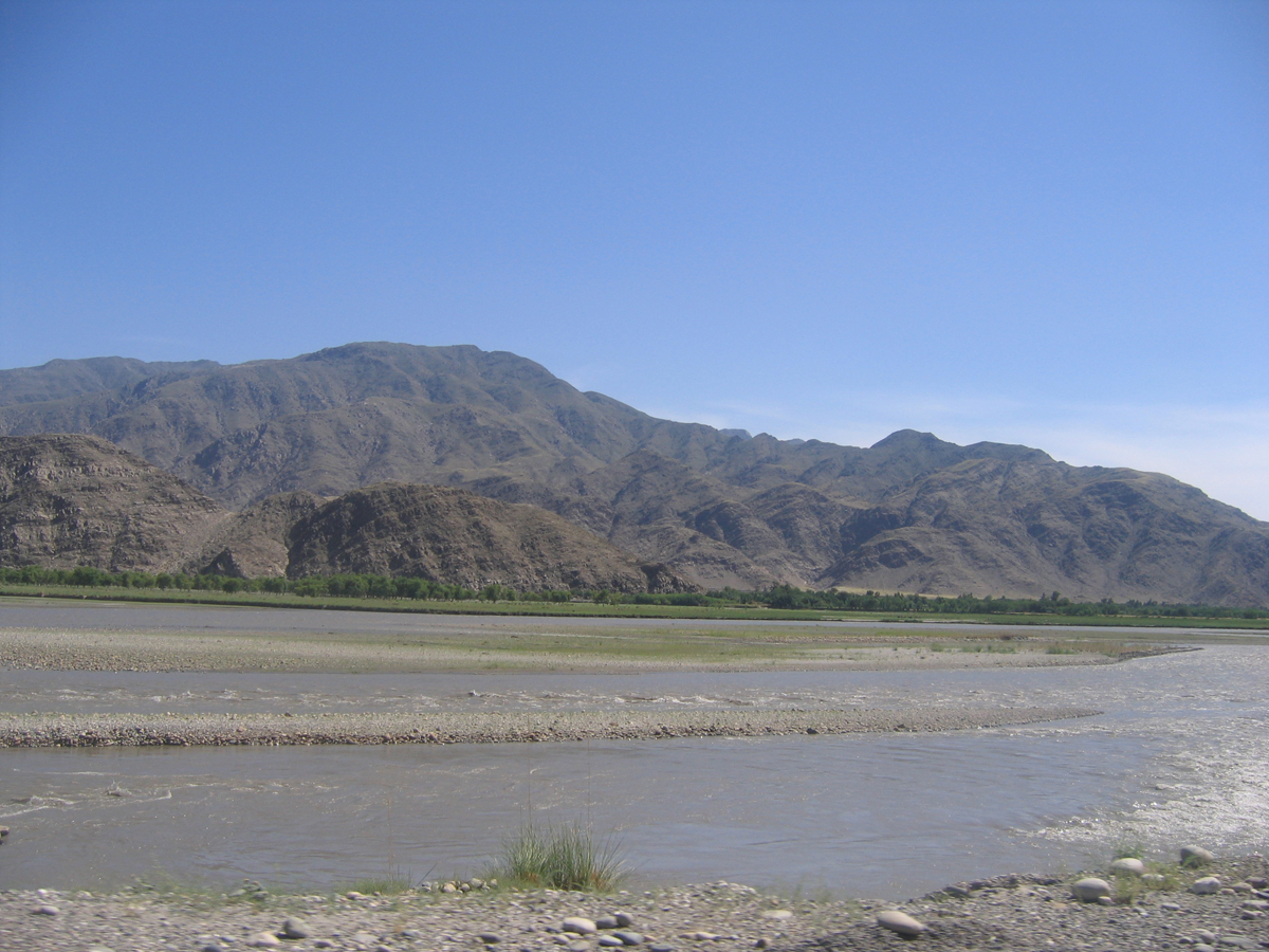
 Kunar River in the Bar Kashkot village, Kuz Kunar District, Nangarhar
The Kunar River (Pashto: کونړ سيند) is about 480 km long, located in eastern Afghanistan and north-western Pakistan. The Kunar river system is fed from melting glaciers and snow of the Hindu Kush mountains.
The river rises in the far north of Chitral District in Pakistan. Downstream as far as Mastuj it is known as the Yarkhun River. From there to its confluence with the Lutkho River just north of the important regional centre of Chitral it is called the Mastuj River.[1] It is then called the Chitral River, before flowing south into the upper Kunar Valley in Afghanistan, where it is referred to as the Kunar River.
The Kunar River empties into the Kabul River just to the east of the city of Jalalabad in Afghanistan. The combined rivers then flow eastwards into Pakistan, joining the Indus River at the city of Attock.
History
Before the political division of the area divided the Kunar/Chitral Valley between the modern nation states of Afghanistan and Pakistan, it had formed an important trade route, being the easiest way to travel from the Pamir Mountains' passes to the plains of the Indian subcontinent. While navigable in parts by expert kayakers, etc..., it is more precise to say its valley forms a trade route since, like nearly all of the rivers in Africa and Asia, it is not navigable for commerce or transport.
References
See also
Categories:- Rivers of Afghanistan
- Rivers of Pakistan
- Indus basin
- Chitral District
- Geography of Khyber Pakhtunkhwa
- International rivers of Asia
- Afghanistan geography stubs
- Khyber Pakhtunkhwa geography stubs
Wikimedia Foundation. 2010.