- Maesbrook
-
Coordinates: 52°47′12″N 3°01′48″W / 52.7867°N 3.0299°W
Maesbrook 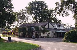
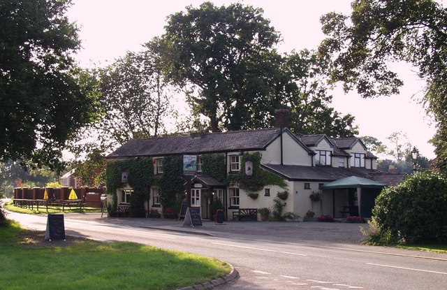
Pub in Maesbrook, Shropshire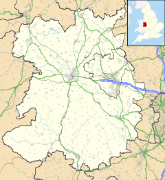
 Maesbrook
Maesbrook shown within ShropshireOS grid reference SJ305215 Unitary authority Shropshire Ceremonial county Shropshire Region West Midlands Country England Sovereign state United Kingdom Police West Mercia Fire Shropshire Ambulance West Midlands EU Parliament West Midlands List of places: UK • England • Shropshire Maesbrook (English pronunciation: /ˈmeɪsbrʊk/[1]) is a village in Shropshire, England. Maesbury and Maesbury Marsh are about a mile north of Maesbrook. Pant is also nearby, just north of Llanymynech.
It lies between the villages of Llanymynech and Knockin, south of the town of Oswestry. The A5 road is nearby, as is the border with Wales.
Contents
History
Railway
Maesbrook railway station was on the defunct Shropshire and Montgomeryshire Railway. A branch line running from Shrewsbury, England to Llanymynech, Wales. It opened in 1911 becoming one of the Colonel Stephens Railways.
In 1933 passenger services were suspended. The railway was taken over by the War Department at the outbreak of World War II when a top-secret armaments storage centre was built at Kinnerley. The line remained in military ownership until it was closed in 1960. Notes on wartime role
References
- ^ Wells, John (15 January 2010). "Ruyton how many?". John Wells's phonetic blog. http://phonetic-blog.blogspot.com/2010/01/ruyton-how-many.html?showComment=1263654392748#c3765407677772836749. Retrieved 5 March 2010.
External links
 Media related to Maesbrook at Wikimedia CommonsCategories:
- Villages in Shropshire
- Shropshire geography stubs

Wikimedia Foundation. 2010.