Maesbury

Maesbury
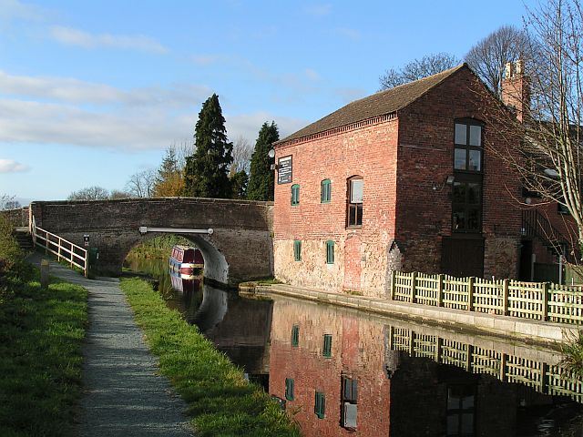
The Montgomery Canal passing through Maesbury Marsh
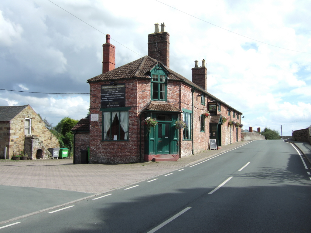
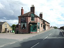
The Navigation Inn in Maesbury Marsh
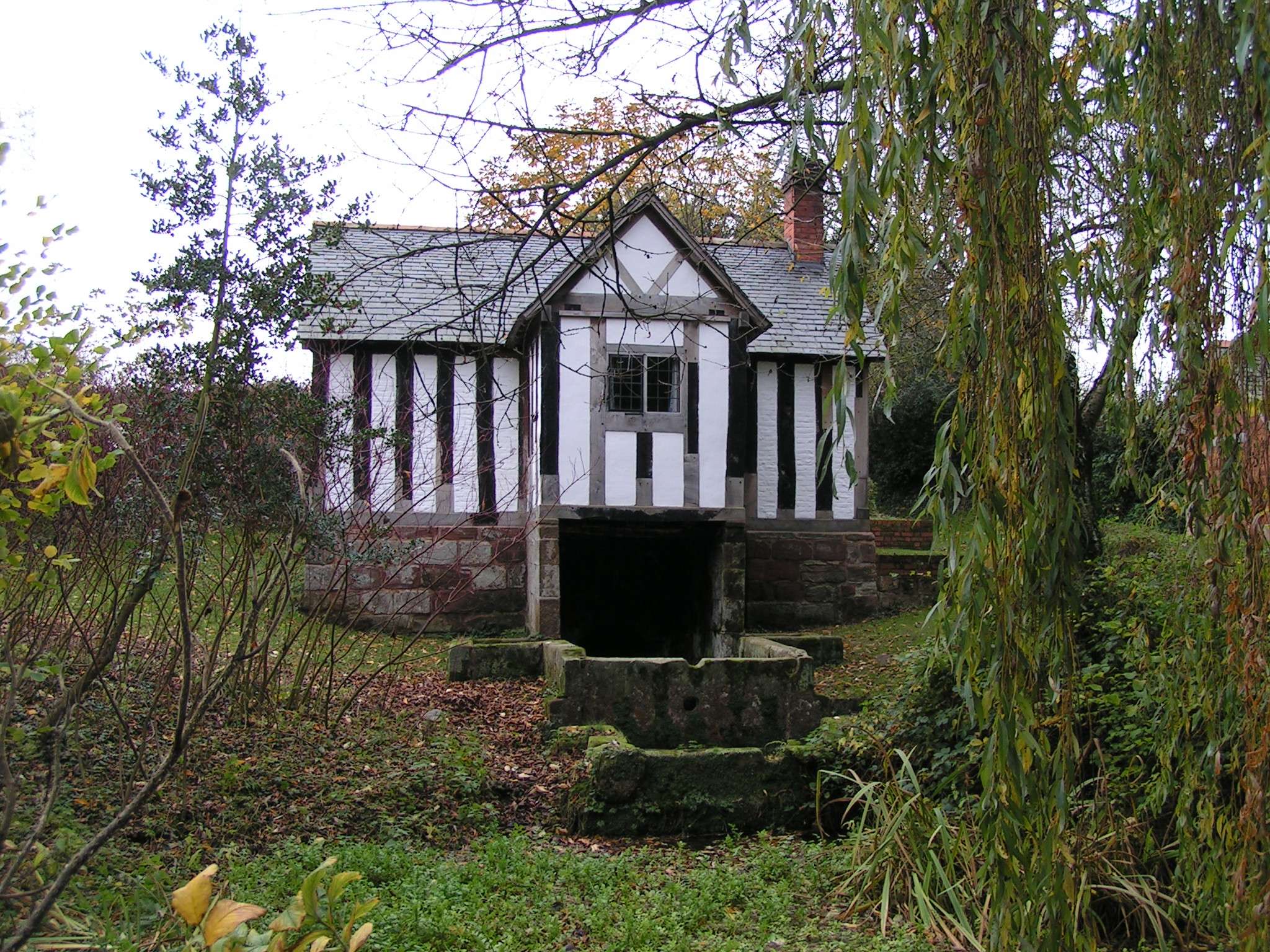
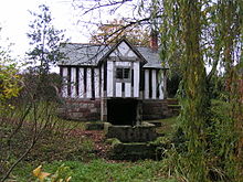
St Winifred's Well, Woolston

Maesbury is a small scattered community in Shropshire, England, south of the town of Oswestry, falling within the Oswestry Rural parish.

Maesbury traditionally consists of five hamlets: Ball, Gwernybrenin, Newbridge, Maesbury and Maesbury Marsh, though the wider area now includes Aston and Woolston.

Maesbury Marsh is at the southern end of the area. There is a public house here, located by the main road bridge over Montgomery Canal, called the Navigation Inn. The Montgomery Canal is being restored in this area at the moment, which connects with the Shropshire Union Canal/Ellesmere Canal further to the northwest.

In nearby Woolston is St Winifred's Well, which is believed to have been a resting place for monks travelling from Holywell to Shrewsbury Abbey with her body.

A biennial canal festival is held in Maesbury.

References

External links

Coordinates: 52°49′N 3°01′W / 52.817°N 3.017°W / 52.817; -3.017


Wikimedia Foundation. 2010.

Игры ⚽ Нужно решить контрольную?

Look at other dictionaries:

  • Maesbury Castle — Plan of earthworks at Maesbury Castle Location: Croscombe, Somerset, England …   Wikipedia

  • Maesbury Railway Cutting — Site of Special Scientific Interest …   Wikipedia

  • Montgomery Canal — milepost Former names Montgomeryshire Canal/Llanymynech Branch of the Ellesmere Canal Modern name Montgomery Cana …   Wikipedia

  • Masbury railway station — Masbury Masbury Station, with Up express in 1959 Location …   Wikipedia

  • Somerset and Dorset Joint Railway — Overview Type Heavy rail Status Disused Locale …   Wikipedia

  • Oswestry Rural — Coordinates: 52°50′35″N 3°03′29″W / 52.843°N 3.058°W / 52.843; 3.058 Oswestry Rural is a geographically large …   Wikipedia

  • Maesbrook — Coordinates: 52°47′12″N 3°01′48″W / 52.7867°N 3.0299°W / 52.7867; 3.0299 …   Wikipedia

  • Fosse Way — The Fosse Way was a Roman road in England that linked Exeter ( Isca Dumnoniorum ) in South West England to Lincoln ( Lindum Colonia ) in the East Midlands, via Ilchester ( Lindinis ), Bath ( Aquae Sulis ), Cirencester ( Corinium ) and Leicester ( …   Wikipedia

  • Mayberry — This article is about the fictional setting for The Andy Griffith Show. For other uses, see Mayberry (disambiguation). Mayberry is a fictional community in North Carolina that was the setting for two American television sitcoms, The Andy Griffith …   Wikipedia

  • Mendip — This article is about the local government district in Somerset. For the hills after which the district is named, see Mendip Hills. Mendip   Non metropolitan district   …   Wikipedia

Share the article and excerpts

Direct link
Do a right-click on the link above
and select “Copy Link”