- Minfeng Town
-
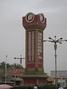 Obelisk in downtown Minfeng
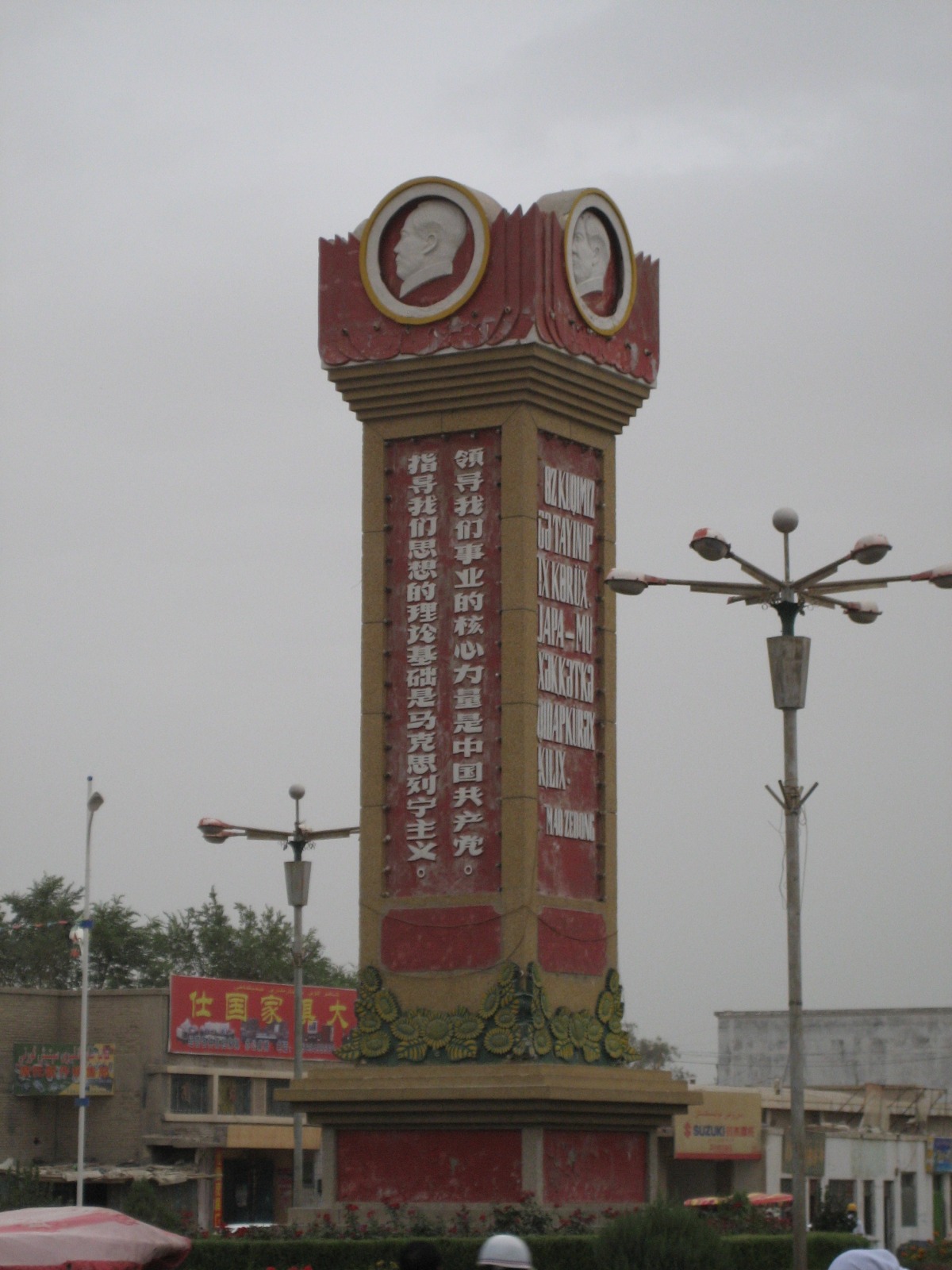
Niya (Chinese: 泥雅; pinyin: Níyǎ) is a town in Minfeng County, Xinjiang Uygur Autonomous Region, China. It is the county seat of Minfeng County, and therefore is commonly referred to as Minfeng, and is labeled so on less detailed maps.
Contents
Geography
Niya is located on China National Highway 315, which is the main Ruoqiang-Hotan road along the southern edge of the Tarim Basin. It is situated 120 km east of Keriya, and about 330 km west of Qiemo (Cherchen). Human habitation in the area is possible because of the Niya River, fed by the snows and glaciers of the Kunlun.
Niya is a small town of about 10,000 people with a small market, shops, many restaurants, and a hotel.
History
Ancient Niya was known as Ronglu 戎盧 during the Han Dynasties (206 BCE - 222 CE)[1] and, according to the Hanshu Chapter 96A, was said to have had "240 households, 610 individuals with 300 persons able to bear arms" during the Former Han Dynasty (206 BCE - 23 CE).[2] It is situated about 115 km north of the modern town of Minfeng. Numerous Buddhist scriptures, sculptures, mummies and other precious archeological finds have been made in the region. The remains of more than seventy buildings have been discovered scattered over an area of some 45 km2. It was located on the southern branch of the Silk Road.[3]
Footnotes
- ^ Hill (2009), p. 82, n. 1.12.
- ^ Hulsewé, A. F. P. and Loewe, M. A. N. 1979. China in Central Asia: The Early Stage 125 BC – AD 23: an annotated translation of chapters 61 and 96 of the History of the Former Han Dynasty. E. J. Brill, Leiden. ISBN 90-04-05884-2; p. 92.
- ^ Baumer, Christoph. Southern Silk Road: In the Footsteps of Sir Aurel Stein and Sven Hedin. Christoph Baumer. 2000. Bangkok. White Orchid Books, p. 100.
References
- Bonavia, Judy 2004. The Silk Road From Xi’an to Kashgar. Revised by Christoph Baumer. 2004. Odyssey Publications. ISBN 962-217-741-7
- Hill, John E. (2009) Through the Jade Gate to Rome: A Study of the Silk Routes during the Later Han Dynasty, 1st to 2nd Centuries CE. John E. Hill. BookSurge, Charleston, South Carolina. ISBN 978-1-4392-2134-1.
- Mallory, J. P. and Mair, Victor H. 2000. The Tarim Mummies: Ancient China and the Mystery of the Earliest Peoples from the West. Thames & Hudson. London. 2000.
- Stein, M. Aurel 1907. Ancient Khotan: Detailed report of archaeological explorations in Chinese Turkestan, 2 vols. Oxford. Clarendon Press.
- Stein, M. Aurel 1912. Ruins of Desert Cathay: Personal narrative of explorations in Central Asia and westernmost China, 2 vols. Reprint: Delhi. Low Price Publications. 1990.
- Stein, M. Aurel 1921. Serindia: Detailed report of explorations in Central Asia and westernmost China, 5 vols. London. Oxford. Clarendon Press. Reprint: Delhi. Motilal Banarsidass. 1980.
- Yu, Taishan. 2004. A History of the Relationships between the Western and Eastern Han, Wei, Jin, Northern and Southern Dynasties and the Western Regions. Sino-Platonic Papers No. 131 March, 2004. Dept. of East Asian Languages and Civilizations, University of Pennsylvania.
External links
- A brief description of the site of ancient Niya
- Archaeological GIS and Oasis Geography in the Tarim Basin
- News article on Niya finds
Coordinates: 37°03′58.3″N 82°41′28.7″E / 37.066194°N 82.691306°E
Categories:- Populated places along the Silk Road
- Central Asian Buddhist kingdoms
- Central Asian Buddhist sites
- Populated places in Xinjiang
- Uyghurs
- Ancient peoples of China
- Former countries in Chinese history
- Oases of China
Wikimedia Foundation. 2010.