- Coldwater, Missouri
-
Coldwater — Unincorporated community — Location within the state of Missouri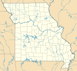
 Coldwater
Coordinates: 37°18′12″N 90°24′35″W / 37.30333°N 90.40972°WCoordinates: 37°18′12″N 90°24′35″W / 37.30333°N 90.40972°W Country United States State Missouri County Wayne Elevation 489 ft (149 m) Time zone Central (CST) (UTC-6) - Summer (DST) CDT (UTC-5) ZIP codes FIPS code GNIS feature ID 716084[1] Coldwater is an unincorporated community in northern Wayne County, Missouri, United States. It is located on U.S. Route 67 about seventeen miles south of Fredericktown. Its post office has closed, and mail now comes from Silva.
References
Municipalities and communities of Wayne County, Missouri County seat: Greenville Cities 
Village Townships Benton | Black River | Cedar Creek | Cowan | Jefferson | Logan | Lost Creek | Mill Spring | Saint Francois | Williams
Unincorporated
communitiesCategories:- Unincorporated communities in Wayne County, Missouri
- Missouri geography stubs


Wikimedia Foundation. 2010.