- Nercha River
-
 The Nercha River
Nercha River Chinese name Chinese 尼布楚河 Transcriptions Mandarin - Hanyu Pinyin Níbùchǔ hé Manchu name Manchu 
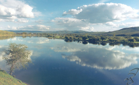
Nibcu biraRussian name Russian Нерча The Nercha River is a river in Zabaykalsky Krai in Russia, left tributary of the Shilka River (Amur's basin). The length of the river is 580 km (360 mi). The area of its basin is 27,500 km2 (10,600 sq mi). The Nercha River freezes up in October and stays icebound until late April - early May. The town of Nerchinsk is located on the Nercha River, 7 km (4.3 mi) from its confluence with the Shilka.
Categories:- Rivers of Zabaykalsky Krai
- Siberia geography stubs
Wikimedia Foundation. 2010.