Nordkalottruta

Nordkalottruta
Nordkalottruta
Kalottireitti Meekonjärvellä.JPG
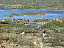
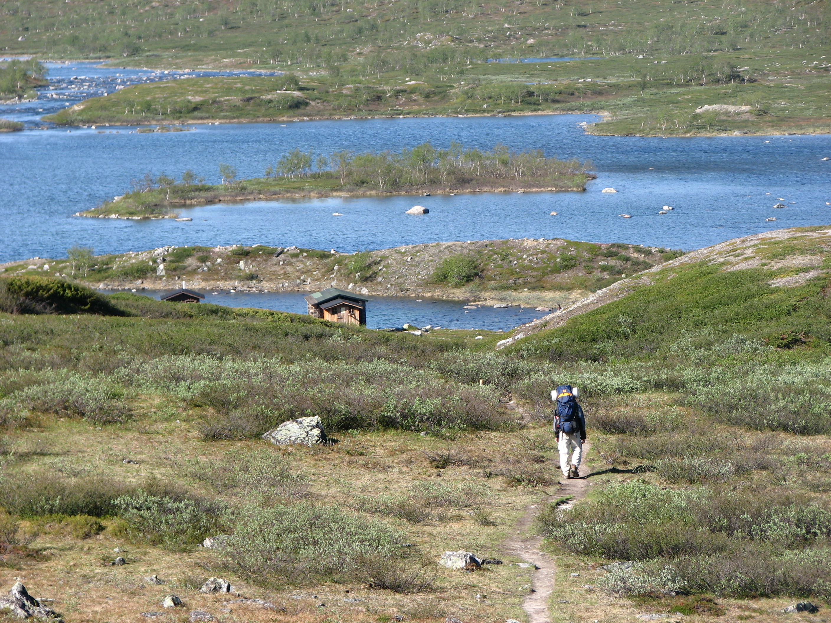
Nordkalottruta goes via Meekonjärvi lake and huts in Finland.
Length 800 km[1]
Location Norway, Finland, Sweden
Trailheads Kautokeino/Sulitjelma/Kvikkjokk
Use Hiking

Nordkalottruta or Arctic Trail (Finnish: Kalottireitti, Swedish: Nordkalottleden) is a marked hiking trail in the Arctic region of Nordic countries. It has a total length of 800 km and lies along the border of Norway, Sweden and Finland. It begins at Kautokeino (located in Finnmark, Northern Norway) and of the 800 km, 380 km of the trail lies in Norway, 350 km in Sweden and 70 km in Finland. The trail crosses international borders 15 times and ends in the south in Sulitjelma (Norway) or alternately Kvikkjokk (Sweden).

The trail was originally planned in 1977. The trail passes through Øvre Dividal National Park, Reisa National Park, Abisko National Park and Padjelanta National Park as well as the Sulitjelmafjellet and Narvikfjell regions.

Points along the trail

References

  1. ^ "Nordkalottleden" (in Swedish). Nationalencyklopedin. http://www.ne.se/nordkalottleden. Retrieved 1 August 2010.  (subscription required)

External links


Wikimedia Foundation. 2010.

Игры ⚽ Поможем написать курсовую

Look at other dictionaries:

  • Nordkalottruta — Der Nordkalottleden (Schwedisch) , (Norwegisch Nordkalottruta; Finnisch Kalottireitti; Englisch Arctic Trail ist ein Wanderweg durch den äußersten Norden Skandinaviens. Er führt durch die Länder Finnland (70 Kilometer), Schweden (350 Kilometer)… …   Deutsch Wikipedia

  • Abisko — Infobox protected area | name = Abisko National Park iucn category = II caption = locator x = locator y = location = Lapland, Sweden nearest city = lat degrees = 68 lat minutes = 18 lat seconds = 20 lat direction = N long degrees = 18 long… …   Wikipedia

  • Øvre Dividal National Park — Øvre Dividal nasjonalpark IUCN Category II (National Park) …   Wikipedia

  • Padjelanta — is a national park in Norrbotten County in northern Sweden. Established in 1963 (the year after the Swedish Parliament voted yes to the proposal), it is the largest national park in Sweden with an area of 1,984 km2, and part of the UNESCO World… …   Wikipedia

  • Sulitjelma — ( se. Sulis, sv. Sulitelma) is a village in Fauske municipality in Nordland, Norway. The village has 481 residents (2007). [cite paper | author=Statistics Norway | title=Urban settlements. Population and area, by municipality. 1 January 2007 |… …   Wikipedia

  • Kalottireitti — Der Nordkalottleden (Schwedisch) , (Norwegisch Nordkalottruta; Finnisch Kalottireitti; Englisch Arctic Trail ist ein Wanderweg durch den äußersten Norden Skandinaviens. Er führt durch die Länder Finnland (70 Kilometer), Schweden (350 Kilometer)… …   Deutsch Wikipedia

  • Nordkalottleden — (Schwedisch; Norwegisch Nordkalottruta; Finnisch Kalottireitti) ist ein Wanderweg durch den äußersten Norden Skandinaviens. Er führt durch die Länder Finnland (70 Kilometer), Schweden (350 Kilometer) und Norwegen (380 Kilometer). Der… …   Deutsch Wikipedia

  • Reisa-Nationalpark — Reisa Nationalpark …   Deutsch Wikipedia

  • Øvre-Dividal-Nationalpark — Øvre Dividal Nationalpark …   Deutsch Wikipedia

  • Sulitjelma — Día del trabajador, 1 de mayo, celebrado en 1908 en Sulitjelma. Sulitjelma (sami septentrional, Sulis; sueco Sulitelma) es un pueblo en el municipio de Fauske en Nordland, Noruega. El pueblo tiene 481 residentes (2007).[1 …   Wikipedia Español

Share the article and excerpts

Direct link
Do a right-click on the link above
and select “Copy Link”