- Colorado State Highway 91
-
State Highway 91
Route information Maintained by CDOT Length: 22.58 mi[1] (36.34 km) Highway system ←  SH 90
SH 90SH 92  →
→
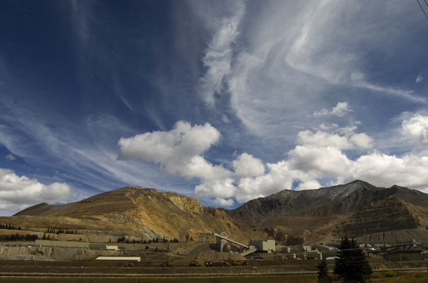
State Highway 91 is a stretch of highway in Colorado that connects Leadville to Interstate 70 at Copper Mountain.
Route description
SH 91 stretches 22.5 miles (36.2 km), starting at its southern junction with U.S. Highway 24 near Leadville. It runs northeast over Fremont Pass, passing the ghost town of Climax, home of the now-quiet Climax mine. Climax has shut down operations in Climax, but still runs the Henderson molybdenum mine in Empire.
SH 91 ends at its junction with I-70 at Wheeler Junction. Since the development of the Copper Mountain Ski Area, Wheeler Junction is more commonly referred to as Copper Mountain.
Major intersections
County Location Mile Destination Notes Lake 0.000  US 24
US 24Summit 22.605  I-70
I-70Interchange References
Categories:

Wikimedia Foundation. 2010.