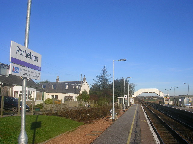
Portlethen railway station
- Portlethen railway station
Infobox UK station
name = Portlethen
other_name=
code = PLN
caption =
manager = First ScotRail
locale = Portlethen
borough = Aberdeenshire
latitude = 57.061
longitude = -2.127
platforms = 2
lowusage0405 = 10,722
lowusage0506 = 14,887
lowusage0607 = 21,073
years = 1 April 1850
events = Opened
years1 = 11 June 1956
events1 = Closed
years2 = 17 May 1985
events2 = Re-opened
years3 =
events3 = |Portlethen railway station serves the town of Portlethen in Aberdeenshire, Scotland. The station was opened on 1 April 1850. After closure for nearly 30 years, the station was re-opened on 17 May 1985.
Station usage
As of the end of 2004-2005, Portlethen had attracted just under 11,000 (combined entry/exit) passengers, including 3,746 (combined entry/exit) season ticket journeys. By 2006-07, the annual number of passengers had increased to over 21,000.
The station serves primarily as a commuter station, as the majority of the few trains stopping at Portlethen serve Aberdeen commuters.
###@@@KEYEND@@@###
Wikimedia Foundation.
2010.
Look at other dictionaries:
Portlethen — infobox UK place country = Scotland official name= Portlethen scots name= gaelic name= population= 6,632 (2006) [http://www.aberdeenshire.gov.uk/statistics/area/portlethen profile2007.pdf] os grid reference= map type=Scotland latitude=57.05… … Wikipedia
Newtonhill — Coordinates: 57°03′N 2°06′W / 57.05°N 2.1°W / 57.05; 2.1 … Wikipedia
Stonehaven — Coordinates: 56°58′N 2°13′W / 56.96°N 2.21°W / 56.96; 2.21 … Wikipedia
Aberdeen — City redirects here. For other uses see Aberdeen (disambiguation) and Aberdeen City (disambiguation). Coordinates: 57°09′09″N 2°06′36″W / 57.1526°N 2.1100°W … Wikipedia
Ballater — Coordinates: 57°02′41″N 3°02′58″W / 57.0448°N 3.04942°W / 57.0448; 3.04942 … Wikipedia
Maud, Aberdeenshire — Maud village, seen from the old station Maud (Gaelic: Am Mòd) is a small town in the Buchan area of the Scottish county of Aberdeenshire. Population 780 (2006 estimate)[1]. Located 13 miles west of Peterhead on the South Ugie Water … Wikipedia
Newmachar — Coordinates: 57°16′01″N 2°11′31″W / 57.267°N 2.192°W / 57.267; 2.192 … Wikipedia
Cortes, Aberdeenshire — Coordinates: 57°37′23″N 1°59′28″W / 57.623°N 1.991°W / 57.623; 1.991 … Wikipedia
New Leeds — Coordinates: 57°34′55″N 2°00′29″W / 57.582°N 2.008°W / 57.582; 2.008 … Wikipedia
Oldmeldrum — Coordinates: 57°20′06″N 2°19′12″W / 57.335°N 2.320°W / 57.335; 2.320 … Wikipedia