- Sana'a International Airport
-
El Rahaba Airport (Sana'a International) IATA: SAH – ICAO: OYSN Location of airport in Yemen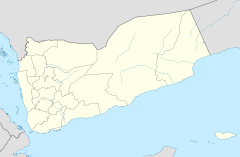
 SAH
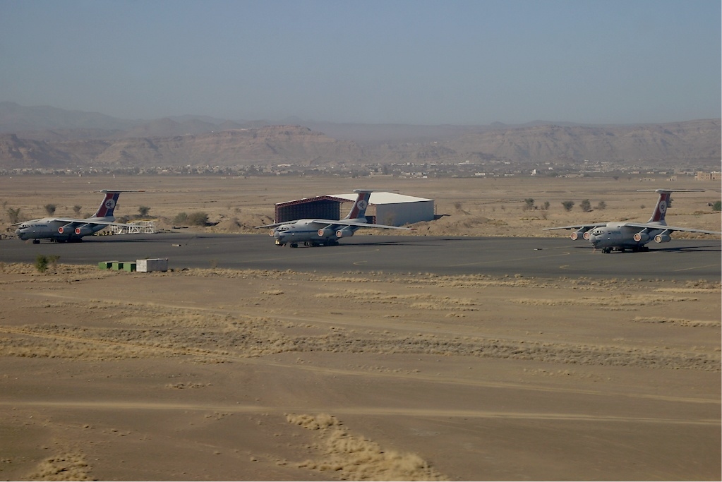
SAHSummary Airport type Military/Public Operator N/A Location Sana'a Hub for Yemenia Elevation AMSL 7,216 ft / 2,199 m Coordinates 15°28′35″N 044°13′11″E / 15.47639°N 44.21972°ECoordinates: 15°28′35″N 044°13′11″E / 15.47639°N 44.21972°E Runways Direction Length Surface ft m 18/36 10,669 3,252 Asphalt Sana'a International Airport or El Rahaba Airport (Sana'a International) (IATA: SAH, ICAO: OYSN) is an international airport located in Sana'a, the capital of Yemen. The runway is shared with a large military base with several fighter jets and transport aircraft of the Yemeni Air Force.
Contents
Airlines and destinations

Airlines Destinations Air Arabia Sharjah EgyptAir Cairo Emirates Dubai Felix Airways Aden, Al Ghaydah Al Hudaydah, Riyan Mukalla, Seiyun, Sharjah, Socotra, Ta'izz, Salalah Gulf Air Bahrain Qatar Airways Doha Royal Jordanian Amman-Queen Alia Saudi Arabian Airlines Jeddah Turkish Airlines Istanbul-Atatürk Yemenia Abu Dhabi, Addis Ababa, Aden, Amman, Asmara, Bahrain, Beirut, Cairo, Damascus, Dhaka, Djibouti, Doha, Dubai, Frankfurt, Hodeidah, Jakarta-Soekarno-Hatta, Jeddah, Khartoum, Kuala Lumpur, Kuwait, Moroni, Mumbai, Riyadh, Riyan Mukalla, Seiyun, Socotra, Ta'izz - Note: All flights operate from a single terminal. A second terminal was expected to open in 2009, but is still under construction as at January 2011.
Accidents and incidents
- On June 30, 2009, Yemenia Flight 626, an Airbus A310[1], flight number IY626, departed from Sana'a International Airport, en route to Prince Said Ibrahim International Airport in Moroni, Comoros. Reportedly with 11 crew and 142 passengers aboard, including 66 French nationals, the aircraft crashed into the Indian Ocean on approach to the destination airport. A twelve-year-old girl was the only survivor.
- On October 30, 2011, a shelling attack by opposition tribesmen on the neighboring Air Force base damaged the airport's runway, forcing incoming flights to be diverted to Aden. There were no reports of casualties, although an ammunition storage and two fighter jets were destroyed.[2]
References
External links
- Accident history for SAH at Aviation Safety Network
- Airport information for OYSN at Great Circle Mapper. Source: DAFIF (effective Oct. 2006).
- Current weather for OYSN at NOAA/NWS
- Airport information for OYSN at World Aero Data. Data current as of October 2006.Source: DAFIF.
Categories:- Asian airport stubs
- Yemen geography stubs
- Airports in Yemen
- Buildings and structures in Sana'a

Wikimedia Foundation. 2010.