- Clare, South Australia
-
Clare
South Australia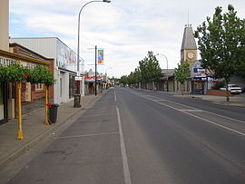
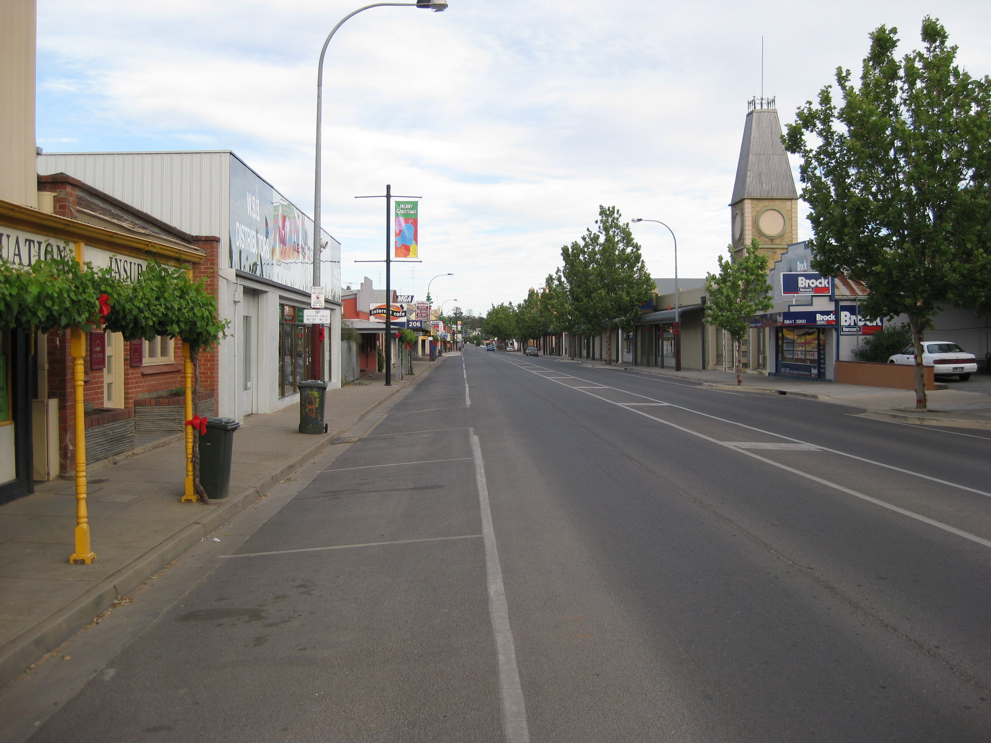
Main North Road, looking north
 Clare
ClarePopulation: 3063[1] (2006 Census) Established: 1842 Postcode: 5453 Mayor: Allan Aughey Location: LGA: District Council of Clare and Gilbert Valleys Region: Mid North State District: Frome Federal Division: Wakefield The town of Clare (postcode 5453) is located in South Australia in the Mid North region, 136 km north of Adelaide. It gives its name to the Clare Valley wine and tourist region.
Contents
History
One of the first settlers in the area was John Horrocks, in 1839. The town itself was established in 1842 by Edward Burton Gleeson, and named after his ancestral home of County Clare in Ireland[2].
The town was first named Inchiquin, which this was later changed. Lake Inchiquin is now the name of a reservoir located to the north of the town, near the golf club.
A railway line was built from Riverton to Clare in 1919 and on to Spalding in 1922. It closed in 1974 and the tracks were removed in the 1980s after damage caused by the Ash Wednesday fires of 1983. The alignment now carries the Riesling Trail walking and cycling trail.
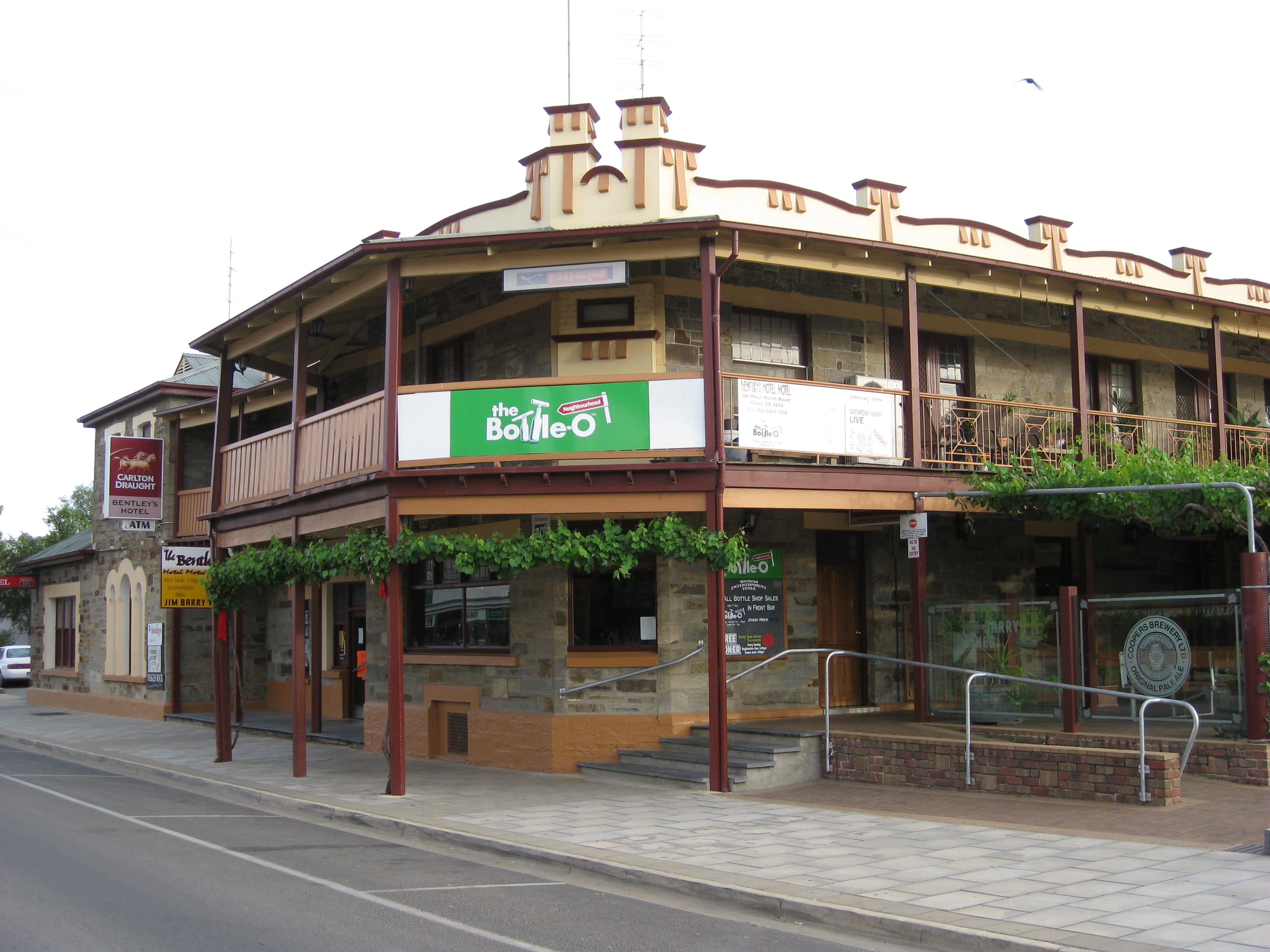
 The Benley Hotel, one of three hotels in Clare
The layout of the town's road system was apparently designed by a draughtsman in Adelaide, without any knowledge of the local geography.[citation needed] There are several roads in Clare that end abruptly at a cliff face, only to continue again at the top of the cliff.
Clare today is a vibrant rural town and regional centre. A diverse local economy of grape-growing, wine production, broadacre farming (including wheat, barley, beans and canola), livestock rearing (merino sheep, cattle, pigs, chickens), light manufacturing and tourism drive a booming, resilient local economy. The annual Clare Valley Gourmet Weekend, held each May for over 20 years, is a major event that attracts foodies and wine-lovers from afar. The town boasts major chain stores, three hotels, several restaurants, and regular services such as Post Office, newsagent, a library and petrol stations. A myriad of accommodation options are available from back-packing to caravan and motor-home parks, hotel, motel, bed & breakfast and holiday cottages. The local tourist office can provide details. Clare has become recognised for its 'experiences', including the famed Riesling Trail walking and cycling route between Clare and Auburn (25km), on the former railway line.
Governance
Clare is governed at the local level by the District Council of Clare and Gilbert Valleys. Clare lies in the state electoral district of Frome and the federal electoral division of Division of Wakefield
See also
References
- ^ Australian Bureau of Statistics (25 October 2007). "Clare (State Suburb)". 2006 Census QuickStats. http://www.censusdata.abs.gov.au/ABSNavigation/prenav/LocationSearch?collection=Census&period=2006&areacode=SSC43326&producttype=QuickStats&breadcrumb=PL&action=401. Retrieved 2008-05-17.
- ^ Rodney Cockburn (1908, revised 1984). What's in a name? Nomenclature of South Australia. Fergusson Publications.
External links
Coordinates: 33°50′S 138°36′E / 33.833°S 138.6°E
Towns and localities of the District Council of Clare and Gilbert Valleys Anama · Armagh · Auburn · Barinia · Benbournie · Black Springs · Boconnoc Park · Bungaree · Clare · Clare North · Donnybrook · Giles Corner · Gillentown · Hill River · Hilltown · Kooramo · Leasingham · Lower Skilly · Manoora · Marrabel · Merildin · Mintaro · Morella · Mulkirri · Navan · Penwortham · Peters Hill · Polish Hill River · Rhynie · Rices Creek · Riverton · Saddleworth · Sevenhill · Skilly · Spring Farm · Spring Gully · Stanley Flat · Steelton · Stockport · Tarlee · Tarnma · Tatkana (Siding) · Tothill Belt · Tothill Creek · Undalya · Waterloo · Watervale · White Hut · Woolshed FlatClare Valley wine region, South Australia Towns Armagh · Auburn · Clare · Leasingham · Mintaro · Penwortham · Polish Hill River · Sevenhill · Stanley Flat · Undalya · WatervaleWineries Annie's Lane · Grosset WinesCategories:- Towns in South Australia
- Mid North (South Australia)

Wikimedia Foundation. 2010.