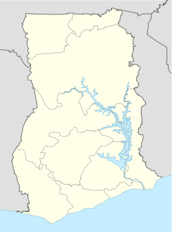
- North Tongu District
-
North Tongu District — District — Location of Adidome in Ghana Coordinates: 06°04′26.66″N 00°29′59.25″E / 6.0740722°N 0.4997917°ECoordinates: 06°04′26.66″N 00°29′59.25″E / 6.0740722°N 0.4997917°E Country Ghana Region Volta Region Government – District Chief Executive Bubey Dzinadu Area – Land 1,460 km2 (563.7 sq mi) Population (2002) – Total 130,410 Time zone GMT Area code(s) +233 36 26 ISO 3166 code GH-TV-NT The North Tongu District is a district of Ghana in the Volta Region. It was first established in 1989 as the Adidome District. The name was later changed as people pushed for a more unifying name for the district.[1]
Contents
Boundaries
The district's northern neighbour is the Ho Municipal District and the Akatsi District to the east. The South Tongu District is to the south east. To the west is the Asuogyaman District located in the Eastern Region of Ghana. The Dangme East and the Dangme West Districts in the Greater Accra Region are the district's south eastern neighbours.[1]
The vegetation lies in the Tropical Savannah Grassland zone. The Volta River cuts the district into two halves from north to south.[1]
See also
References
- ^ a b c "Volta Region - North Tongu". GhanaDistricts.com. http://ghanadistricts.com/districts/?news&r=7&_=128. Retrieved 2010-09-15.
Sources
- Districts of Ghana at statoids.com
- GhanaDistricts.com
6°4'26"N 0°29'59"E
Districts of the Volta Region of Ghana 
Municipal 
Ordinary Adaklu-Anyigbe · Akatsi · Biakoye · Jasikan · Kadjebi · Ketu North · Ketu South · Kpando · Krachi East · Krachi West · Nkwanta North · Nkwanta South · North Tongu · South Dayi · South TonguCategories:- Districts of Volta Region
- Ghana geography stubs
Wikimedia Foundation. 2010.

