- Miki, Hyōgo
-
This article is about the city in Hyōgo Prefecture, Japan. For other uses, see Miki (disambiguation).
Miki
三木市— City — 
FlagLocation of Miki in Hyōgo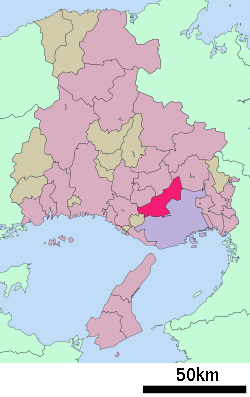

 Miki
MikiCoordinates: 34°47′37″N 134°59′35″E / 34.79361°N 134.99306°ECoordinates: 34°47′37″N 134°59′35″E / 34.79361°N 134.99306°E Country Japan Region Kansai Prefecture Hyōgo Government - Mayor Yoshihide Yabumoto (since January 2006) Area - Total 176.58 km2 (68.2 sq mi) Population (April 30, 2011) - Total 82,162 - Density 465.3/km2 (1,205.1/sq mi) Time zone Japan Standard Time (UTC+9) City symbols - Tree Pinus - Flower Rhododendron Phone number 81-(0)794-82-2000 Address Uenomaru 10-30, Miki City, Hyogo Prefecture (兵庫県三木市上の丸10の30)
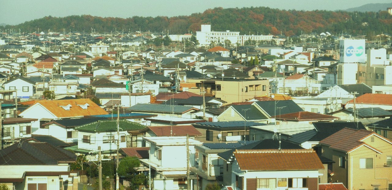
673-0492Website city.miki.lg.jp 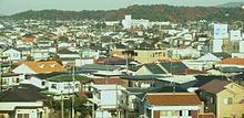 Midorigaoka-town Miki-city
Miki (三木市 Miki-shi) is a city located in Hyōgo, Japan.
As of April 30, 2011, the city has an estimated population of 82,162, with a household number of 32,143 and a population density of 465.30 persons per km². The total area is 176.58 km².
Miki is located northwest of downtown Kobe and is bounded to the south and east.
- Postal code: 673
- Area code and number: 79482
Contents
History
The city was founded on June 1, 1954.
On October 24, 2005 the town of Yokawa, from Mino District, was merged into Miki.
Transportation
Miki is accessed with Route 175 and an expressway. There are several bus routes from neighbouring cities and a town. It is also accessed with Kobe Electric Railway from Kobe and Sanda and Ono. Miki has prefectural roads numbering 20, 22, 23, 83 and 85.
Sister cities
 Visalia, CA
External links
 Media related to Miki, Hyōgo at Wikimedia Commons
- Miki official website (Japanese)
 Hyōgo Prefecture
Kobe (capital city) 
Other cities Akō District Ibo District Kako District Kanzaki District Kawabe District Mikata District Kami | Shin'onsenSayō District Taka District 
This Hyōgo Prefecture location article is a stub. You can help Wikipedia by expanding it.