- W. A. C. Bennett Dam
-
W. A. C. Bennett Dam 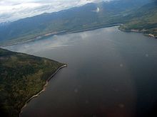
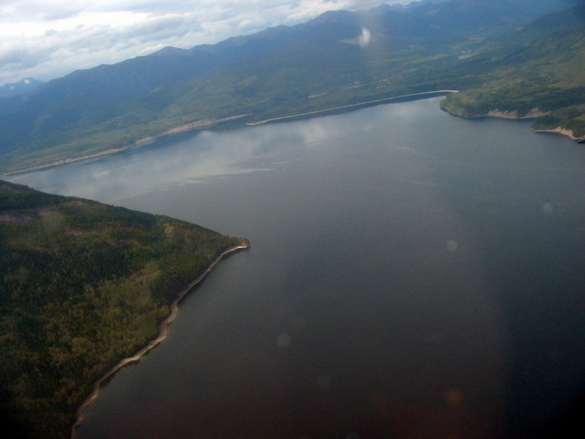
Aerial photograph of Williston LakeLocation British Columbia,
CanadaCoordinates 56°01′00″N 122°12′02″W / 56.0166667°N 122.20056°WCoordinates: 56°01′00″N 122°12′02″W / 56.0166667°N 122.20056°W Construction began 1963 Opening date 1968 Owner(s) BC Hydro Dam and spillways Type of dam Embankment dam Height 186 m (610 ft) Length 2,068 m (6,785 ft) Impounds Peace River Spillway capacity 9,205 m3/s (325,100 cu ft/s) Reservoir Creates Williston Lake Capacity 74 km3 (60,000,000 acre·ft) Surface area 1,761 km2 (680 sq mi) Power station Turbines 10 × 273 MW Installed capacity 2,730 MW Annual generation 13,100 GWh The W. A. C. Bennett Dam is a large hydroelectric earthfill dam on the Peace River in northern British Columbia, Canada. The dam, located 19 kilometres (12 mi) west of Hudson's Hope, and 85 kilometres (53 mi) northwest of Chetwynd, is named after the late former premier W. A. C. Bennett, and came on-line in 1968. During the planning and construction phase it was called the "Portage Mountain Development."
The complex consists of the main earth-fill dam, which holds back Williston Lake, and the partially-underground Gordon M. Shrum Generating Station. It is capable of generating 2,730 megawatts of electricity at peak capacity. The dam is constructed 660 m (2,170 ft) above sea level.
Contents
Visitor Centre
The W.A.C. Bennett Dam Visitor Centre is located at the dam, overlooking Williston Lake Reservoir. The centre features exhibits on the dam, hydroelectricity, and the area's natural and cultural history. There is also a video theatre and a cafe. The dam is also very close to the Peace River dam, a few miles south.
History
The Peace River dam was originally conceived half a century ago by the British Columbia Electric Company (now BC Hydro), under the direction of Dal Grauer. B.C. Electric obtained the necessary permits and land titles to proceed with the project, completed the design and made preparations for work to begin on site in 1963.
On August 1st, 1961 the government of WAC Bennett announced its intention to take over B.C. Electric (B.C.E); that intention became law on August 3rd. [1] In January 1962 {B.C.E.) was merged with the BC Power Commission to form the BC Hydro and Power Authority.[2] After a BC Supreme Court ruling that the expropriation was illegal and the price too low, and after intense negotiations, an agreement was reached between the government and the former owners of B.C.E. for the sale and an adjustment in the price from $171 million to $197 million.[3] Several of the top executives of B.C.E. left the newly created Crown Corporation, B.C. Hydro, and construction proceeded under new management.
The finished project was brought online in the late 1960s and has provided British Columbia, and in particular the Lower Mainland and the City of Vancouver and export markets in the United States, with electricity ever since. The reservoir, once filled, flooded the Finlay, Parsnip, and Peace River valleys and became the largest man made lake on the planet. This flooding was not without consequence, however, to the people who had been living in those valleys.
At the time, the Peace River project was one of the largest developments of its kind in the world. It provided thousands of jobs during construction. Together with development of the Columbia River dams, the other component of Bennett's Two River Policy, the dam provided relatively inexpensive electricity to the province which has been credited with facilitating rapid development throughout British Columbia over the following decades.
Naming
Naming of the dam after the sitting Premier was reportedly the result of pressure from "Lieutenant Governor George R. Pearkes and local Peace River enthusiasts." "For years, some people have been saying 'damn Bennett.' It's nice to see it reversed for a change.", remarked Bennett. [4]
Impact on aboriginal people
The Tsay Keh Dene, formerly known as the Ingenika band, comprising some 125 families (many of whom spoke no English), were moved from their traditional village site, where they supported themselves by hunting and trapping, to what were supposed to be model reserves a couple of hundred kilometres south near the booming mill town of Mackenzie. The entire band received a total compensation of $35,000.[citation needed]
Over the next couple of years, many went back to Ingenika Point, a low bluff overlooking the water that covered their traditional home. That was where they were living 20 years later, when they were rediscovered by government officials, living in conditions that Social Credit Intergovernmental Affairs Minister Stephen Rogers called "the most primitive I've ever seen." A great many of them wound up living on the streets of Prince George and Vancouver, and, of those, many did not live long. The Tsay Keh Dene received additional compensation from the Province in the autumn of 2006.
In October 2008, the Kwadacha First Nation, another group whose settlement Fort Ware is at the north end of the Finlay Reach of Lake Williston, reached a settlement with the BC government and BC Hydro over damages suffered during construction and operation of the dam and Williston Reservoir. The settlement includes a $15 million lump-sum payment and annual payments of $1.6 million adjusted for inflation.[5][6]
See also
- List of conventional hydroelectric power stations
- List of power stations in Canada
- Peace Canyon Dam
References
- ^ Mitchell, David J., WAC Bennett and the Rise of British Columbia, Vancouver/Toronto, 1983, p.372
- ^ Mitchell, p.312
- ^ Mitchell, p.317
- ^ Mitchell, David J., WAC Bennett and the Rise of British Columbia, Vancouver/Toronto, 1983, p.372
- ^ Lai, Tim (2008-10-25). "First nation settles grievances with BC Hydro, government". Vancouver Sun. http://www.canada.com/vancouversun/news/westcoastnews/story.html?id=4a95de14-0433-464a-aa80-f094e2f43b3a. Retrieved 2008-10-26.
- ^ "Kwadacha First Nation votes for historic agreement". BC Government web site. http://www2.news.gov.bc.ca/news_releases_2005-2009/2008ARR0026-001624.htm. Retrieved 2008-10-26.
External links
Categories:- Dams in British Columbia
- Peace Country
- Museums in British Columbia
Wikimedia Foundation. 2010.