- Raccoon River
-
See also: Raccoon Creek
Raccoon River River 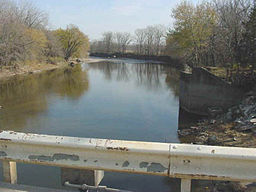 The Raccoon River at Van Meter
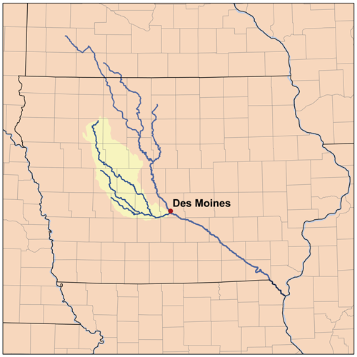
Country US State Iowa Districts Polk County, Iowa, Dallas County, Iowa Tributaries - left South Raccoon River - right North Raccoon River Source - elevation 850 ft (259 m) - coordinates 41°32′38″N 93°58′01″W / 41.544°N 93.967°W Mouth Des Moines River - location Des Moines, Iowa - elevation 761 ft (232 m) - coordinates 41°34′44″N 93°36′43″W / 41.579°N 93.612°W  Map of the Raccoon River watershed
"USGS Geographic Names Information System". http://geonames.usgs.gov/pls/gnispublic/f?p=gnispq:3:::NO::P3_FID:460494. Retrieved 18 September 2009. 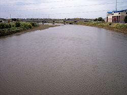
The Raccoon River is a 30.8-mile-long (49.6 km)[1] tributary of the Des Moines River in central Iowa in the United States. As measured using the longest of its three forks, its length increases to 226 miles (364 km).[1] Via the Des Moines River, it is part of the watershed of the Mississippi River.
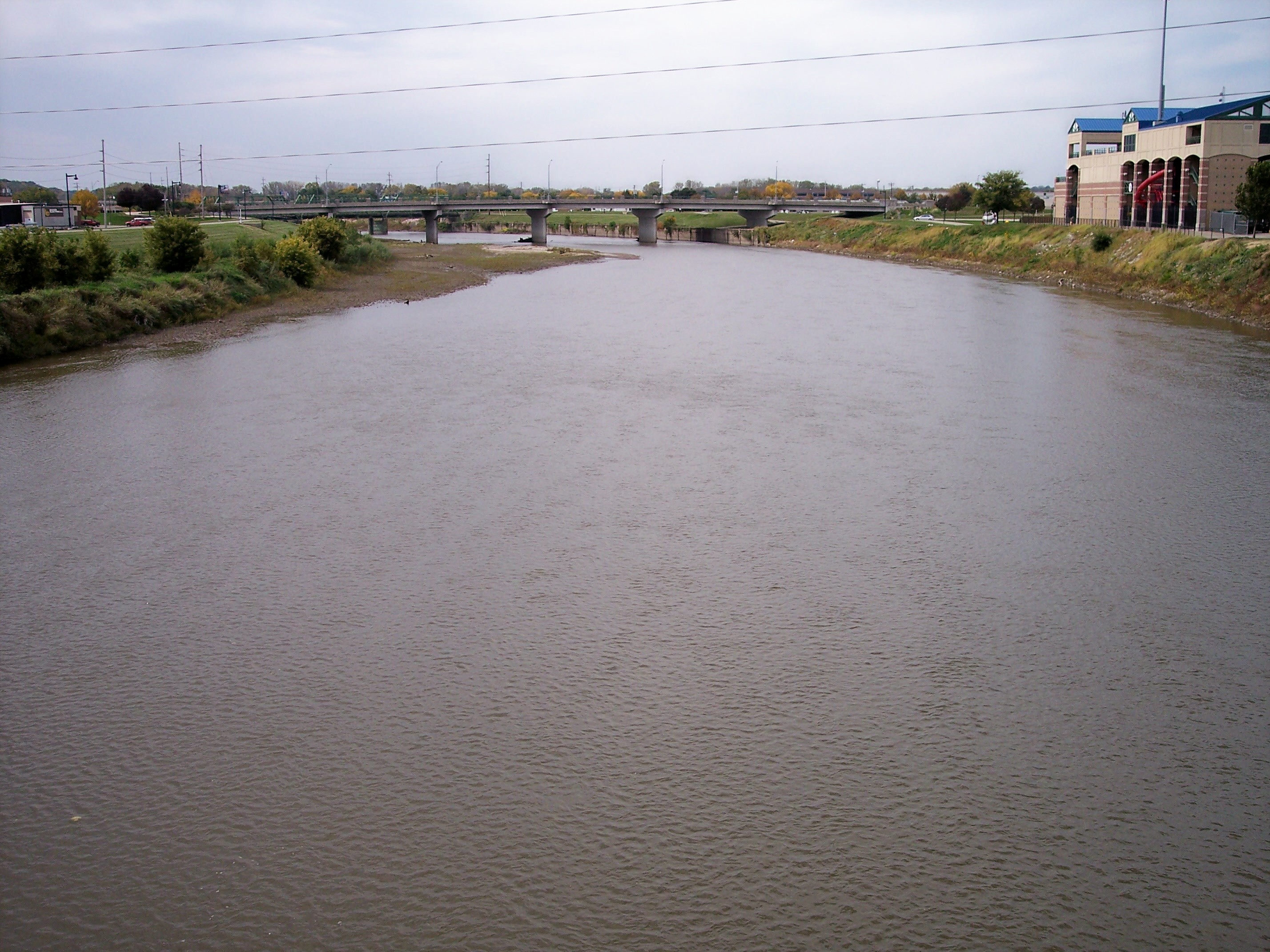
During the Great Flood of 1993, the Raccoon River flooded the water treatment facility of Des Moines, shutting off the city's supply of drinking water.
Contents
Course
The Raccoon River flows for much of its length as three streams:
- The North Raccoon River is, by far, the longest of the three, at 196 miles (315 km).[1] It rises north of Marathon in northeastern Buena Vista County and initially flows southwardly into Sac County, where it turns southeastward for the remainder of its course through Calhoun, Carroll, Greene and Dallas counties. It passes the towns of Sac City, Jefferson, Perry and Adel. The Adel Island dam in Adel is the only dam along its course.[2]
- The Middle Raccoon River, 92 miles (148 km) long,[1] rises in northwestern Carroll County and flows generally southeastwardly through Guthrie and Dallas counties, past Carroll, Coon Rapids, Springbrook State Park, Panora, Linden, and Redfield. The three dams located along its course are the Lake Panorama dam and the Lennon Mill dam at Panora, and the Redfield dam at Redfield. Even though the Lake Panorama dam, completed in 1970, was built for recreational purposes only, it has provided some additional benefits by controlling flooding along the Middle Raccoon River. The Middle Raccoon River flows into the South Raccoon River about 1 mile (1.6 km) south of Redfield.[2]
- The South Raccoon River, about 72 miles (116 km) long,[1] rises in northeastern Audubon County and flows generally southeastwardly through Guthrie and Dallas counties, past the town of Guthrie Center. South of Redfield, after the Middle Raccoon River flows into the South Raccoon River, a flow gage operated jointly by the United States Army Corps of Engineers (Rock Island District), the United States Geological Survey (Iowa District), and the Iowa Department of Transportation provides data about potential flooding threats.[2][3]
The north and south forks join in Dallas County just west of Van Meter, and the Raccoon River flows generally eastwardly into Polk County, past Walnut Woods State Park and West Des Moines. It joins the Des Moines River just south of downtown Des Moines.
See also
- List of Iowa rivers
References
- ^ a b c d e U.S. Geological Survey. National Hydrography Dataset high-resolution flowline data. The National Map, accessed May 26, 2011
- ^ a b c http://www.iowadnr.gov/riverprograms/files/map_raccoon.pdf Expedition and Fishing Guide IA Department of Natural Resources (DNR) website retrieved February 19, 2010
- ^ http://www2.mvr.usace.army.mil/WaterControl/stationinfo2.cfm?sid=REDI4&fid=REDI4&dt=S South Raccoon River gage at Redfield Rivergages website retrieved February 19, 2010
Sources
- Columbia Gazetteer of North America entry
- DeLorme (1998). Iowa Atlas & Gazetteer. Yarmouth, Maine: DeLorme. ISBN 0-89933-214-5.
- GNIS entries for U.S. Geological Survey Geographic Names Information System: Raccoon River, U.S. Geological Survey Geographic Names Information System: Middle Raccoon River, U.S. Geological Survey Geographic Names Information System: North Raccoon River, U.S. Geological Survey Geographic Names Information System: South Raccoon River
External links
- Map of Raccoon River basin - Iowa Department of Natural Resources (DNR) website
- South Raccoon River gage near Redfield - US Army Corps of Engineers website
- North Raccoon River at Perry - National Oceanic Atmospheric Administration (NOAA) website
- Middle Raccoon River at Panora - NOAA website
- South Raccoon River at Redfield - NOAA website
- Raccoon River at Van Meter - NOAA website
- Raccoon River at Des Moines Fleur Drive - NOAA website
Categories:- Rivers of Iowa
- Tributaries of the Des Moines River
- Geography of Des Moines, Iowa
- Geography of Sac County, Iowa
- Geography of Calhoun County, Iowa
- Geography of Carroll County, Iowa
- Geography of Greene County, Iowa
- Geography of Dallas County, Iowa
- Geography of Polk County, Iowa
- Geography of Audubon County, Iowa
- Geography of Guthrie County, Iowa

Wikimedia Foundation. 2010.