- Tuensang district
-
This article is about the district. For its eponymous headquarters, see Tuensang.
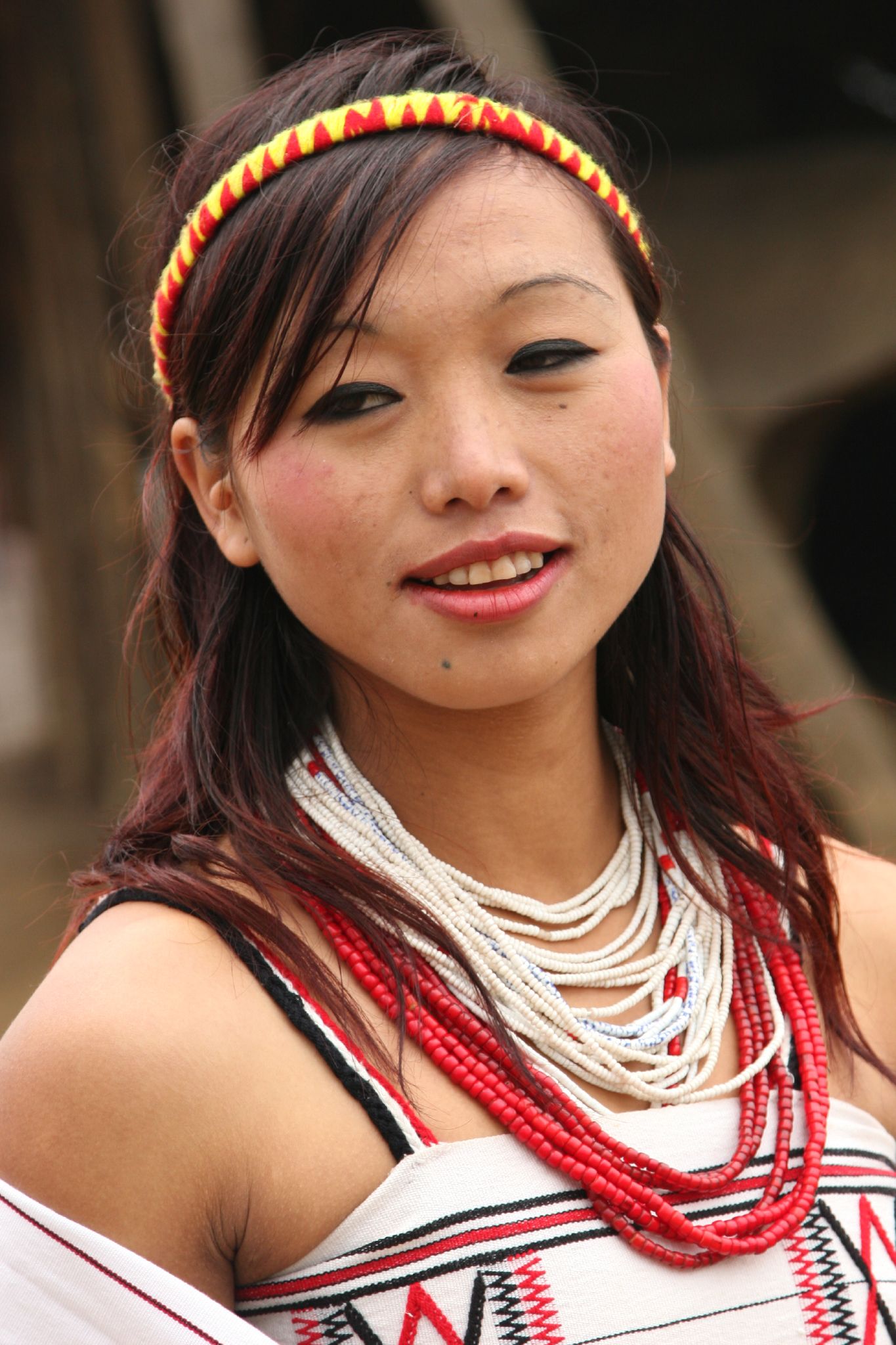
Tuensang district — District — A woman from Tuensang district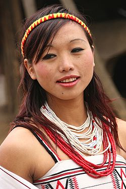 Tuensang district's location in Nagaland
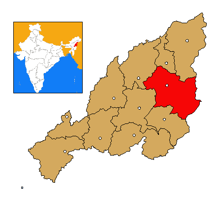
Coordinates: 26°14′N 94°49′E / 26.233°N 94.817°ECoordinates: 26°14′N 94°49′E / 26.233°N 94.817°E State Nagaland Country India Seat Tuensang Population (2011) – Total 196,801 Time zone IST (UTC+05:30) ISO 3166 code IN-NL-TU Website http://tuensang.nic.in/ Tuensang District is the largest and the eastern most district of Nagaland, a state in North-East India. Its headquarters is Tuensang.
Contents
History
Tuensang is one of the original three districts, along with Mokokchung and Kohima formed at the time the state was created. Over the decades, the district has gradually diminished in size with the carving out of Mon, Longleng and Kiphire districts from it.
Geography
The district shares a long and porous international border with Myanmar all along its eastern sector. It is bounded by Mon in the north east, Longleng in the North, Mokokchung and Zunheboto in the West and Kiphire in the South. Nagaland's highest peak, Mount Saramati (3840 metres) is located in this district. Dikhu and Tizu are the main rivers of the district.
Economy
Likhimro Hydro project was commissioned in 2001.
In 2006 the Ministry of Panchayati Raj named Tuensang one of the country's 250 most backward districts (out of a total of 640).[1] It is one of the three districts in Nagaland currently receiving funds from the Backward Regions Grant Fund Programme (BRGF).[1]
Demographics
According to the 2011 census Tuensang district has a population of 196,801 ,[2] roughly equal to the nation of Samoa.[3] This gives it a ranking of 590th in India (out of a total of 640).[2] Tuensang has a sex ratio of 930 females for every 1000 males,[2] and a literacy rate of 73.7 %.[2]
Changs, Sangtams, Yimchunger and Khiamniungans are the main indigenous tribes of this district. Besides, Aos and Semas form a significant part of the district's population. Christianity is the main religion though animistic beliefs are still practised by a small minority specially along the Myanmarese border.Flora and fauna
In 1984 Tuensang district became home to the Fakim Wildlife Sanctuary, which has an area of 6.4 km2 (2.5 sq mi).[4]
References
- ^ a b Ministry of Panchayati Raj (September 8, 2009). "A Note on the Backward Regions Grant Fund Programme". National Institute of Rural Development. http://www.nird.org.in/brgf/doc/brgf_BackgroundNote.pdf. Retrieved September 27, 2011.
- ^ a b c d "District Census 2011". Census2011.co.in. 2011. http://www.census2011.co.in/district.php. Retrieved 2011-09-30.
- ^ US Directorate of Intelligence. "Country Comparison:Population". https://www.cia.gov/library/publications/the-world-factbook/rankorder/2119rank.html. Retrieved 2011-10-01. "Samoa 193,161"
- ^ Indian Ministry of Forests and Environment. "Protected areas: Nagaland". http://oldwww.wii.gov.in/envis/envis_pa_network/index.htm. Retrieved September 25, 2011.
External links

Mokokchung district Mon district
Longleng districtZunheboto district 
Myanmar  Tuensang district

Kiphire district Districts of Nagaland Categories:- Districts of Nagaland
- Tuensang district
- India geography stubs
Wikimedia Foundation. 2010.