- Frankston South, Victoria
Infobox Australian Place | type = suburb
name = Frankston South
city =Melbourne
state = vic
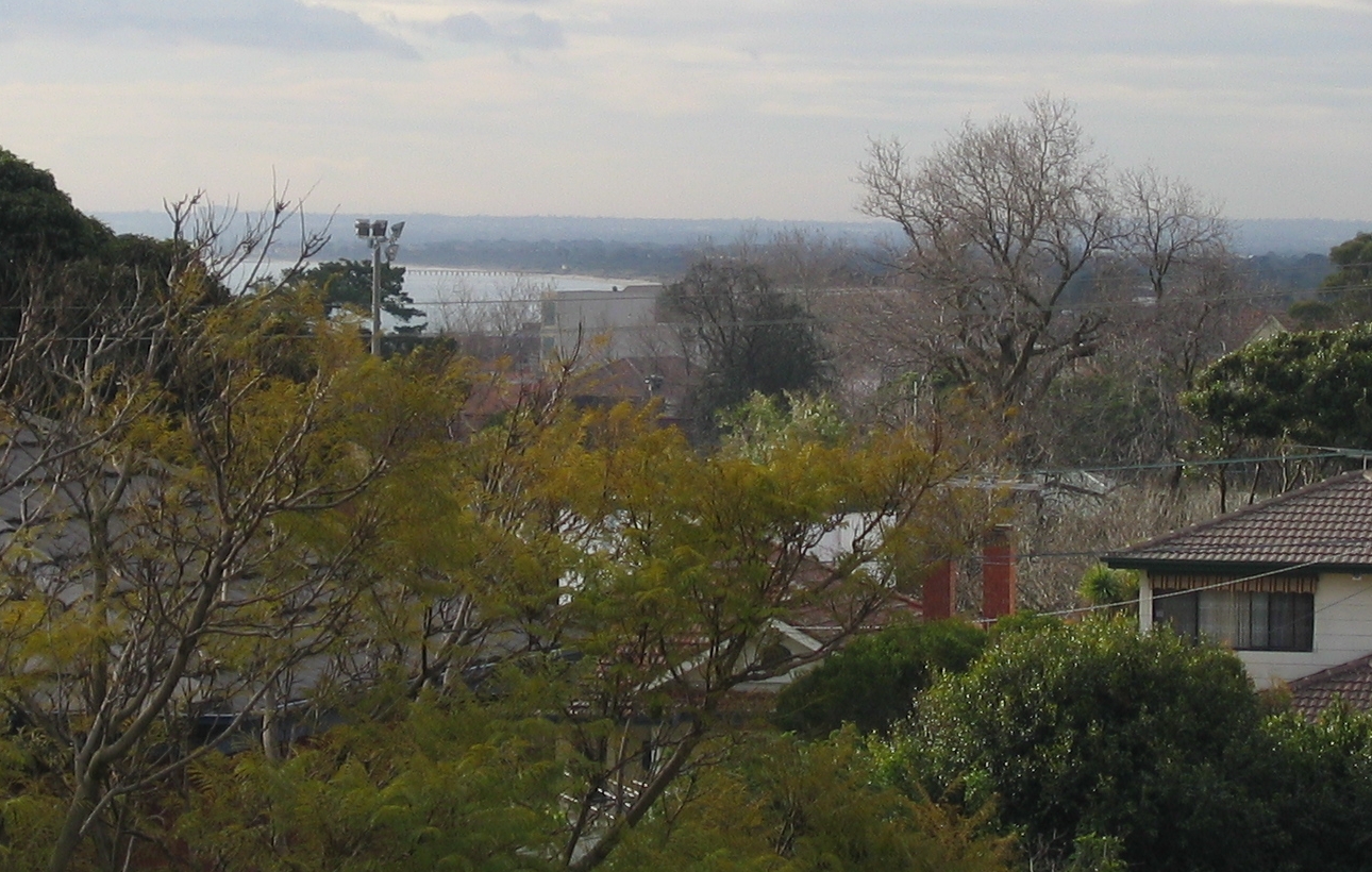
caption = Rooftops of Frankston South, with glimpses of Port Phillip Bay and Seaford Pier
lga = City of Frankston
postcode = 3199
pop = 17,360 (2006) Census 2006 AUS | id = SSC21291 | name = Frankston South (State Suburb) | accessdate = 2007-09-26 | quick = on]
area = 14.8
est =1846 (land sales:1854 )
propval = $395,000 [ [http://www.domain.com.au/public/suburbprofile.aspx?suburb=Frankston%20South&postcode=3199 Frankston South locality profile] , Domain, accessed27 June 2008 ]
stategov = Frankston
fedgov = Dunkley
dist1 = 45
location1=Melbourne
dist2 = 4
location2= Frankston
near-nw =
near-n = Frankston
near-ne = Karingal
near-w = "Port Phillip Bay "
near-e = Mount Erin
near-sw =
near-s = Mount Eliza
near-se = BaxterFrankston South is a
suburb near Frankston located inMelbourne , Victoria inAustralia . It is in the Local Government Area of theCity of Frankston . Sharing the same postcode as Frankston (3199), it is however considered a separate suburb.Census 2006 AUS | id = SSC21291 | name = Frankston South (State Suburb) | accessdate = 2007-09-26 | quick = on]History
After the settlement of
Melbourne in 1835, James Davey took up a large land holding in 1846, which extended from Olivers Hill (in the beginnings of what is now Frankston South) toDaveys Bay (in what is now the neighbouring suburb of Mount Eliza).Jones, Michael. "Frankston: Resort to City". Allen & Unwin: Sydney. 1989. ISBN 0-04-442114-1] Thomas McComb, who arrived at Frankston in 1852, also purchased much land in what is now the Frankston CBD and its south-east, in 1854.Jones, Michael. "Frankston: Resort to City". Allen & Unwin: Sydney. 1989. ISBN 0-04-442114-1] McComb's land was subdivided and now forms much of the locality of Frankston South.The first temporary post office in Frankston South opened in 1934 to service the first Australian Scout Jamboree.Citation
last = Premier Postal History | title = Post Office List | url = https://www.premierpostal.com/cgi-bin/wsProd.sh/viewpodet.w?cdpo=6847 | accessdate = 2008-09-23 ] . The first permanent post office opened on
October 27 1958 .Citationlast = Premier Postal History | title = Post Office List: Australian Jamboree, Frankston | url = https://www.premierpostal.com/cgi-bin/wsProd.sh/Viewpocdwrapper.p?SortBy=VIC&country= | accessdate = 2008-04-11 ]
After the arrival of the Melbourne railway in 1882, the Frankston area developed into a popular seaside resort and playground for Melbourne's
affluent , with some developing large holiday properties in the area of Frankston South, many of which still stand today.Jones, Michael. "Frankston: Resort to City". Allen & Unwin: Sydney. 1989. ISBN 0-04-442114-1]1935 Scout Jamboree
Frankston South was the site of the first ever
Australian Scout Jamboree , in 1935, which was attended by the founder of theScouting movement, Sir Robert Baden-Powell.Jones, Michael. "Frankston: Resort to City". Allen & Unwin: Sydney. 1989. ISBN 0-04-442114-1] The site was chosen for its proximity to the town of Frankston, distance from Melbourne and its relatively unspoilt natural areas as well as access to the beach. [ [http://www.yican.com.au/1935/ 1935 Australian Jamboree, Frankston, Victoria] ]Several streets in Frankston South are named after the event (Baden Powell Drive being the most prominent), and the original
grandstand used for the jamboree remained a historic landmark atFrankston Park for 72 years, until it was destroyed by fire onFebruary 12 ,2008 . [http://www.abc.net.au/news/stories/2008/02/13/2161206.htm ABC News - "Fire destroys historic Frankston grandstand", February 13 2008] ]ubdivisions
Frankston South is home to the most expensive
residential real estate in theCity of Frankston , mainly due to its hilly terrain which allows for views ofPort Phillip Bay , tree-lined streets, properties built on the edge of Sweetwater Creek Nature Reserve (which is located in the centre of the locality), and large land sub-divisions in the locality's far south.Olivers Hill, which straddles the suburbs of Frankston and Frankston South, boasts expansive views across Port Phillip Bay to the city of Melbourne and overlooks the Frankston Beach and the Frankston waterfront. Some properties on Olivers Hill have been sold for in excess of AU$2 million, when the 2005 median price for a house in Frankston was only AU$228,000 according to
The Age newspaper. [ [http://www.theage.com.au/news/National/Surprise-jump-in-home-prices/2005/01/28/1106850110578.html The Age - "Surprise jump in home prices", January 29 2005] ]chools
Primary
*Derinya Primary School
*Overport Primary School
*St. Augustine's Primary School (Catholic private)
*Woodleigh School, junior campus (independent private), "note: the senior campus is in the neighbouring suburb of Baxter."Secondary
*Frankston High School Frankston High School is considered one of the most elite government schools in the state of Victoria. [ [http://www.theage.com.au/articles/2003/06/22/1056220477855.html The Age - "School critics confuse excellence and elitism", January 23 2003] ] Admittance to Frankston High School is based on residence in the designated "zone" of the school.
Real estate agent s often market properties in the area around Frankston South as in the "FHS Zone" to lure families wishing to send their children to the school.hopping
Frankston South has no major shopping areas, due to its proximity to the Frankston Central Business District. However, small neighbourhood shopping strips exist in Norman Avenue, Foote Street and on Overport Road. The far-south of the suburb is also served by the shopping village in neighbouring Mount Eliza.
Infrastructure
Health
Due to its proximity to the Frankston Central Business District there is no hospital in Frankston South, however, it is served by the relatively close
Frankston Hospital and also the Frankston Private Hospital. The area does support a number of health clinics and small specialist health surgeries.Transport
Frankston South is located close to the Frankston Central Business District, and much of the suburb is accessible via the small arterials: Kars Street, Baden Powell Drive and Overport Road. It is also straddled by the
Nepean Highway to the west and theMoorooduc Highway to the east.Bus service s run throughout the locality, and connect it to the Frankston CBD as well as a number of neighbouring localities and suburbs.Gallery
References
External links
* [http://www.yican.com.au/1935/ 1935 Australian Jamboree, Frankston, Victoria]
* [http://www.frankston.vic.gov.au/About_Frankston_City/History_of_Frankston_Park_Grandstand/index.aspx History of the Frankston Park Granstand]
Wikimedia Foundation. 2010.