- Dunkeld, Victoria
-
Dunkeld
Victoria
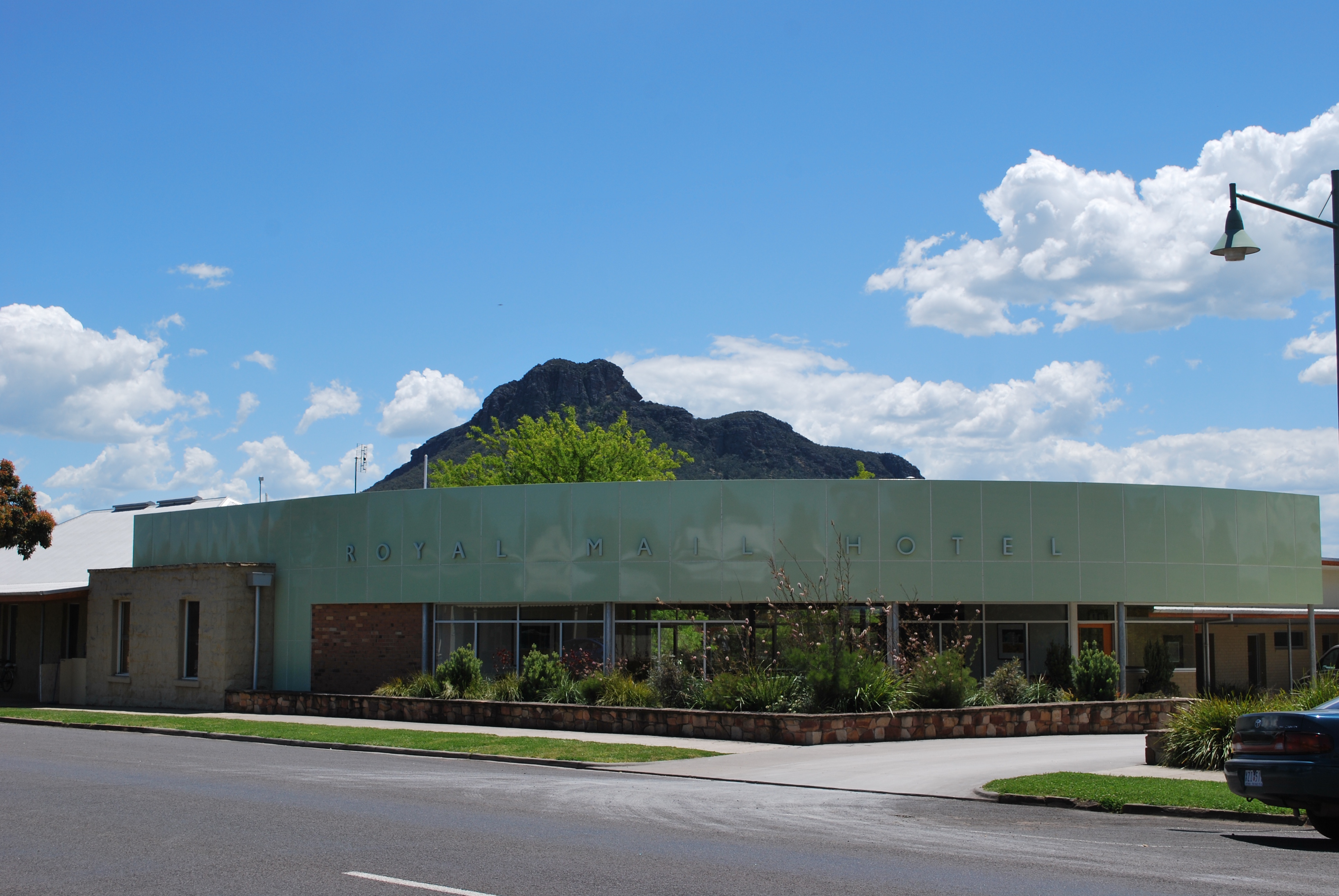
The Royal Mail Hotel with the Grampians in the background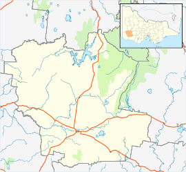
 Dunkeld
Population: 397[1] Postcode: 3294 Coordinates: 37°39′S 142°21′E / 37.65°S 142.35°ECoordinates: 37°39′S 142°21′E / 37.65°S 142.35°E Location: LGA: Shire of Southern Grampians State District: Lowan Federal Division: Wannon Dunkeld is a town in Victoria, Australia at the southern end of the Grampians National Park, in the Shire of Southern Grampians. It is approx 283 km west of Melbourne on the Glenelg Highway. The town's population is holding steady but ageing. At the 2001 census, Dunkeld had a population of 397.[1]
The Chapwurrung people lived in this region to the south and east of the Grampians for over 4,000 years prior to the arrival of the Europeans. The first pastoralists took up properties here in the late 1830s, and there was a decade of sometimes violent clashes with the Chapwurring. A small European township developed which was initially known as Mount Sturgeon, the hill behind the town. A Post Office of that name opened on 1 July 1852 (Dunkeld from 1 January 1854);[2] but, as the early settlers were predominantly Scottish, it was renamed Dunkeld after a Scottish town which was the principal locality of the Caledonian picts in Roman times.[3]
At a strategic point south of the Grampians for road traffic and surrounded by fine wool producing country, Dunkeld thrived in the mid-19th century. The Robertson's Woolpack Inn was the first building to be erected in 1845, followed by five other hotels - the Shamrock and the Western, the Royal Mail, the Collins Railway Hotel and the Family Inn. Road traffic declined with the opening of the railway (1877 to Hamilton and Ararat, with another short lived line going south to Penshurst). Louis Buvelot, Eugene von Guerard and Nicholas Chevalier all made paintings of the district, where Mount Abrupt and Mount Sturgeon provide an appealing backdrop.
In January 1944 fires destroyed one-third of Dunkeld's houses and only the Royal Mail Hotel remained from the five original establishments. Today it contains an up-market restaurant and accommodation. There is also a general store (for sale 2010), two cafes, a Post Office, an art gallery, a petrol station, schools, a local museum, a bookstore, a (sandstone) stonemason and a DIY store. Residents access most other services they need in Hamilton but the railway line has been closed for some years. Wool production still takes place in the surrounding farms. The timber industry has now ceased, but there is at least one local vineyard. There is a campsite and a variety of other tourist accommodation, and tourism is now the main employer. A 40-ha property, 'Heathlands' is owned by naturalist Graham Pizzey, author of Field Guide to the Birds of Australia.
Dunkeld has a horse racing club, the Dunkeld Racing Club, which runs the Dunkeld Cup meeting in November.[4] The town in conjunction with nearby township Glenthompson has an Australian Rules football team Glenthompson-Dunkeld competing in the Mininera & District Football League. Golfers play at the course of the Grampians Golf Club on Victoria Valley Road, Dunkeld.[5]
References
- ^ a b Australian Bureau of Statistics (25 October 2007). "Dunkeld (L) (Urban Centre/Locality)". 2006 Census QuickStats. http://www.censusdata.abs.gov.au/ABSNavigation/prenav/LocationSearch?collection=Census&period=2006&areacode=UCL215400&producttype=QuickStats&breadcrumb=PL&action=401. Retrieved 27 April 2010.
- ^ Premier Postal History, Post Office List, https://www.premierpostal.com/cgi-bin/wsProd.sh/Viewpocdwrapper.p?SortBy=VIC&country=, retrieved 2008-04-11
- ^ "Dunkeld - Victoria - Australia - Travel - smh.com.au". www.smh.com.au. http://www.smh.com.au/news/Victoria/Dunkeld/2005/02/17/1108500206418.html. Retrieved 2008-05-19.
- ^ Country Racing Victoria, Dunkeld Racing Club, http://www.countryracing.com.au/index.php?option=com_club_info&club=31&Itemid=80, retrieved 2009-05-07[dead link]
- ^ Golf Select, Grampians, http://www.golfselect.com.au/armchair/courseView.aspx?course_id=980, retrieved 2009-05-11
External links
- Dunkeld, Victoria - Official Tourism Victoria website
- Royal Mail Hotel, Dunkeld
Towns in the Shire of Southern Grampians Balmoral · Branxholme · Byaduk · Cavendish · Coleraine · Dunkeld · Glenthompson · Hamilton · Penshurst · Tabor · Tarrington
Categories:- Towns in Victoria (Australia)

Wikimedia Foundation. 2010.