- Millwood, Virginia
-
Millwood — Unincorporated town — Location within the state of Virginia
 Millwood
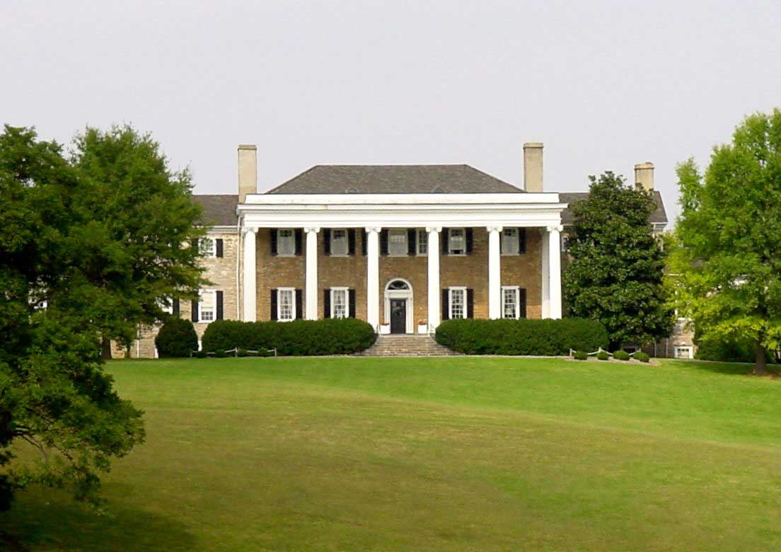
Coordinates: 39°4′10″N 78°2′16″W / 39.06944°N 78.03778°WCoordinates: 39°4′10″N 78°2′16″W / 39.06944°N 78.03778°W Country United States State Virginia County Clarke Time zone Eastern (EST) (UTC-5) – Summer (DST) EDT (UTC-4) ZIP codes FIPS code GNIS feature ID Millwood is an unincorporated town located in Clarke County, Virginia, USA. Millwood is the home of many of Clarke County's most historic sites including the Burwell-Morgan Mill (1785), Carter Hall (1792), the Greenway Historic District, Long Branch plantation (1805), Old Chapel (1790), and the River House.
Contents
Historic Buildings and Structures
Photo Gallery
-

Burwell-Morgan Mill (1785)
-

Carter Hall (1792)
Google Earth Placemarks
External links
- Small Towns of Virginia Series: Millwood
- Carter Hall Conference Center
- Long Branch Farm
- Historic Millwood Photographs
Municipalities and communities of Clarke County, Virginia Towns 
CDPs Shenandoah Farms‡ | Shenandoah Retreat
Unincorporated
communitiesBerrys | Bethel | Briggs | Castlemans Ferry | Claytonville | Double Tollgate | Frogtown | Gaylord | Greenway Court | Lewisville | Lockes Landing | Lost Corner | Millwood | Pigeon Hill | Pyletown | Saratoga | Stone Bridge | Stringtown | Swimley | Wadesville | Waterloo | Webbtown | White Post | Wickliffe
Footnotes ‡This populated place also has portions in an adjacent county or counties
Categories:- Shenandoah Valley, Virginia geography stubs
- Populated places in Clarke County, Virginia
- Unincorporated communities in Virginia
-


Wikimedia Foundation. 2010.