- Balonne Shire Council
Infobox Australian Place | type = lga
name = Balonne Shire
state = qld
imagesize= 180
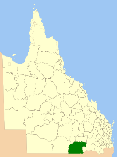
caption = Location inQueensland
pop = 5,417
area = 31119
est =
seat = St George
mayor = Donna Stewart
region =
url = http://www.balonne.qld.gov.au/
stategov =
fedgov =Division of Maranoa
near-nw = Booringa
near-n = Warroo
near-ne = Tara
near-w = Paroo
near-e = Waggamba
near-sw = "Brewarrina (NSW)"
near-s = "Walgett (NSW)"
near-se = "Moree Plains (NSW)"The Balonne Shire is a Local Government Area located inQueensland on theNew South Wales border some 500 kilometres from the east coast of Australia and has an area of 31,119 square kilometres.The area contains the following rivers, which attract fishermen after both the
Yellow belly and the sought afterMurray Cod .*
Balonne River ,
*Maranoa River ,
*Culgoa River ,
*Narran River ,
*Moonie River , and
*Barwon River.The following towns are within the Shire:
*St George,
*Dirranbandi,
*Bollon,
*Thallon,
*Mungindi and
*Hebel.* Alton
* Boolba
* NindigullyAnnual events include:
*Fishing Competitions,
*A Golf Carnival,
*Motorbike Endurance Rallies,
*Country Shows & Rodeos
*Wool, Craft & Flower Shows
Wikimedia Foundation. 2010.