- North Strathfield, New South Wales
-
North Strathfield
Sydney, New South Wales
Commonwealth Bank, Concord RoadPostcode: 2137 Location: 15 km (9 mi) west of Sydney CBD LGA: City of Canada Bay State District: Drummoyne Federal Division: Reid Suburbs around North Strathfield: Homebush Bay Liberty Grove Concord West Homebush Bay North Strathfield Concord Homebush Strathfield Strathfield North Strathfield is a suburb in the inner-west of Sydney, in the state of New South Wales, Australia. North Strathfield is located 15 kilometres west of the Sydney central business district, in the local government area of the City of Canada Bay. Strathfield and Strathfield South are separate suburbs, to the south.
Contents
History
Strathfield was the name of one of the large homes of the local area.[1] A major landmark in the area is Ardill House (or Our Children's Home) in Davidson Avenue, which was built by in 1861 John Bibb for Henry David Bray. It was enlarged circa 1880 and is now on the Register of the National Estate.[2]
North Strathfield was an area of industrial developments. In recent years, the area has been gentrified, with many high density residential developments replacing industrial sites.
Commercial area
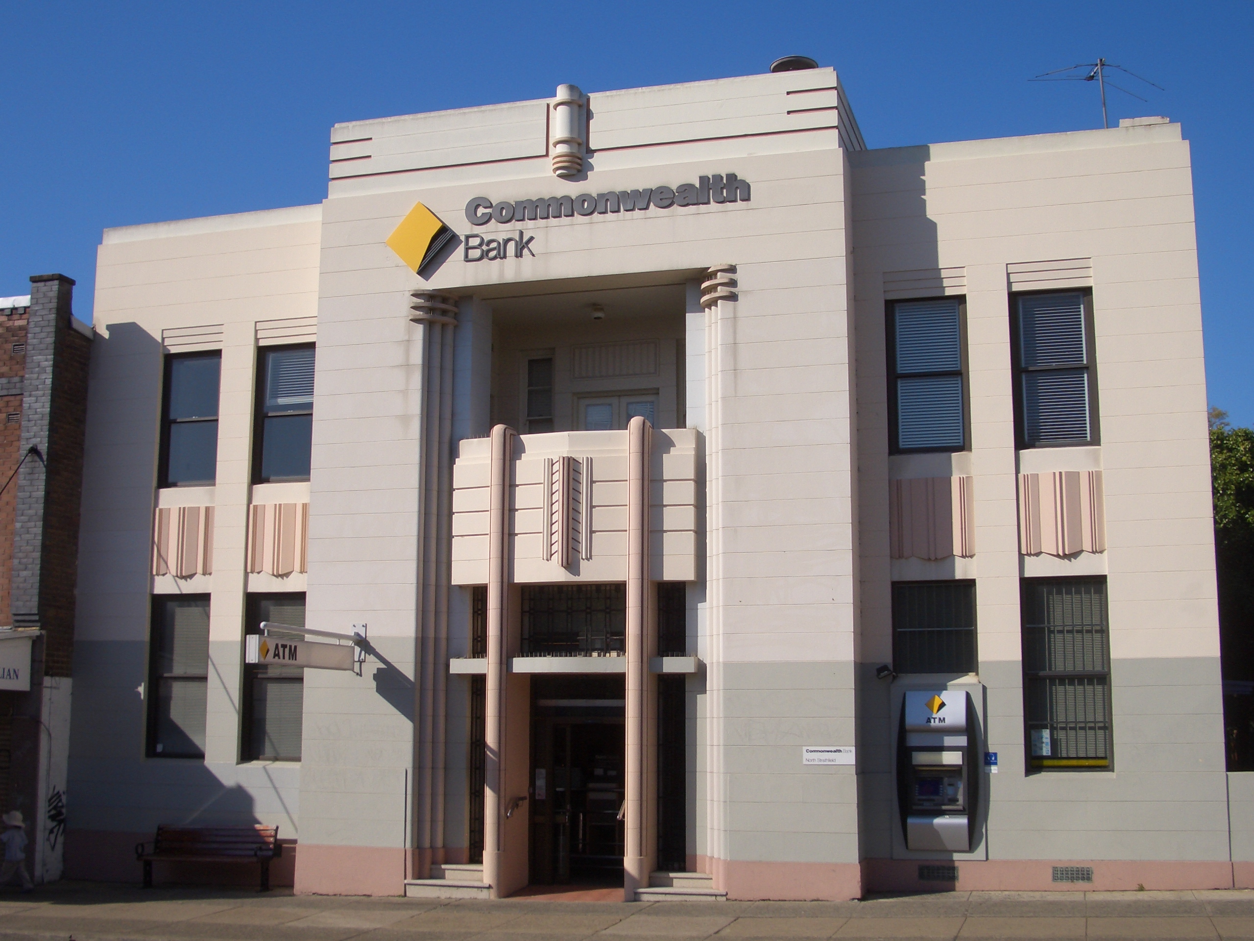
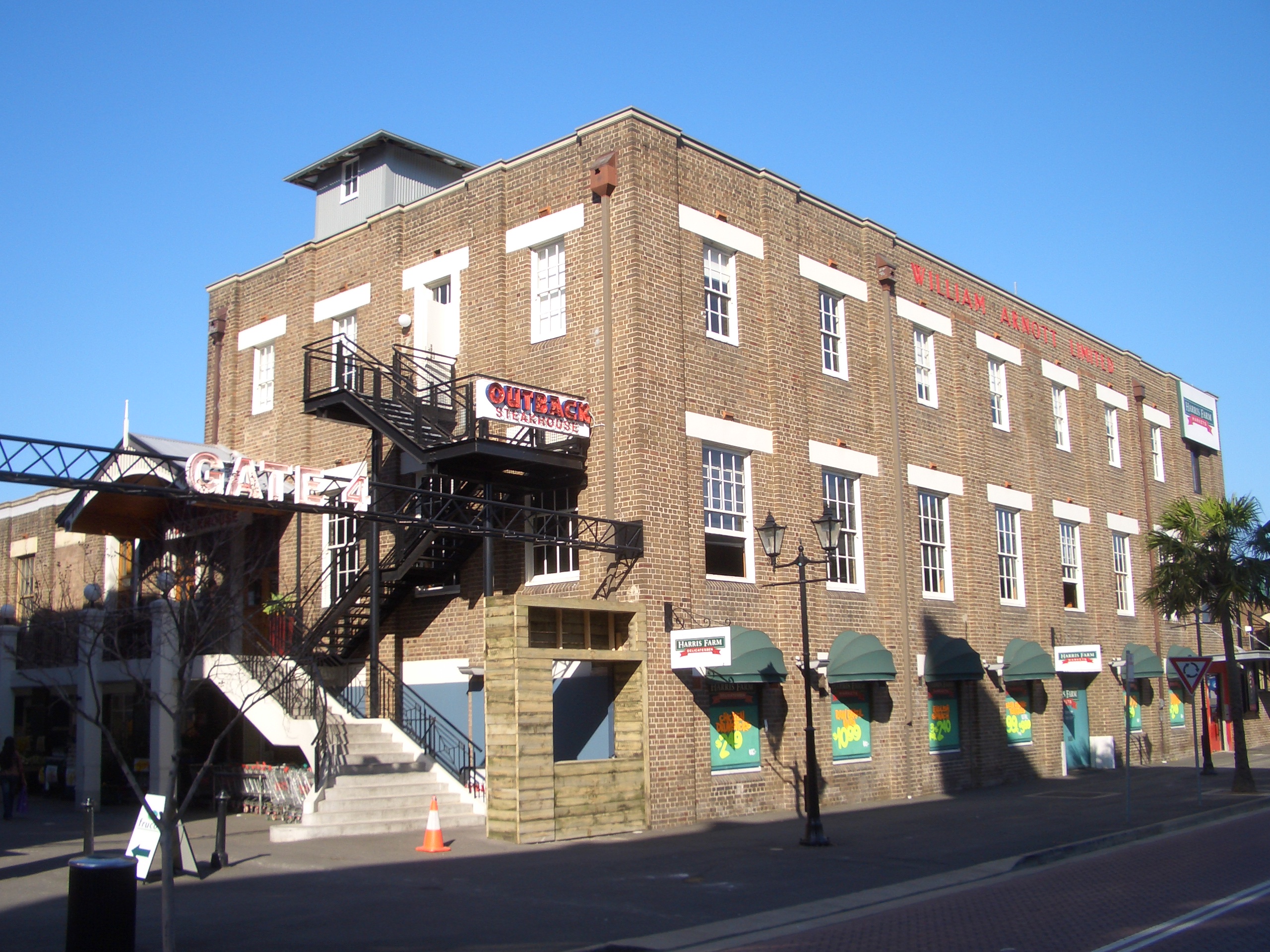
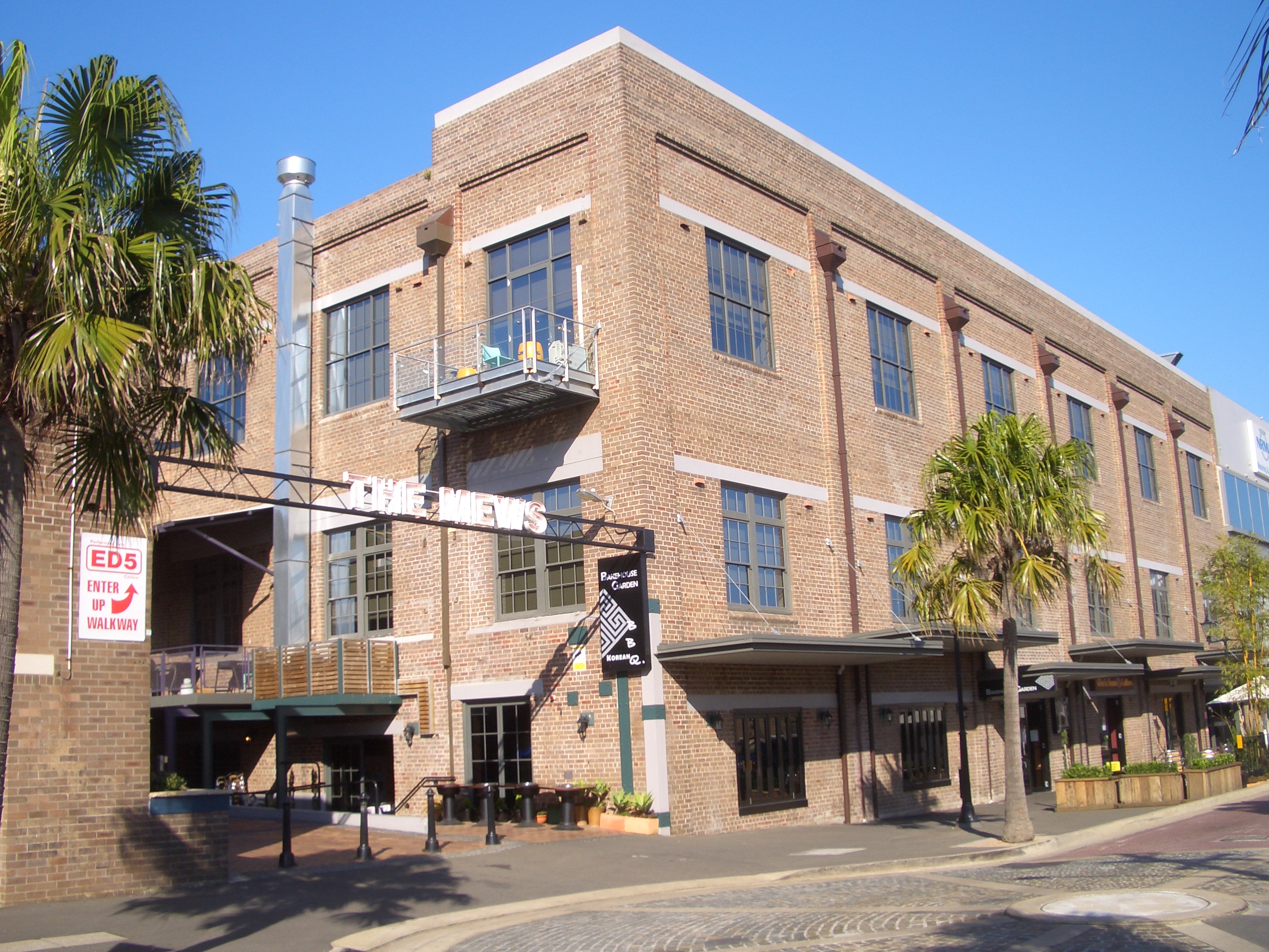
North Strathfield has residential, commercial and industrial developments. A small group of shops and cafes is located opposite the North Strathfield railway station. More commercial developments can be found on nearby Concord Road. The site of the former Arnott’s Biscuits factory in George Street has been redeveloped as the 'Bakehouse Quarter' and feature office space, restaurants, cafes, supermarkets and shops. Harris Farm Markets, Aldi, Fitness First and Outback Steakhouse are major tenants here.
-
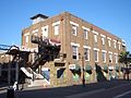
Bakehouse Quarter, former Arnotts factory
-
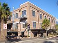
Bakehouse Quarter
-
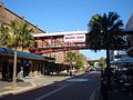
Bakehouse Quarter
-
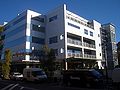
Bakehouse Quarter
Transport
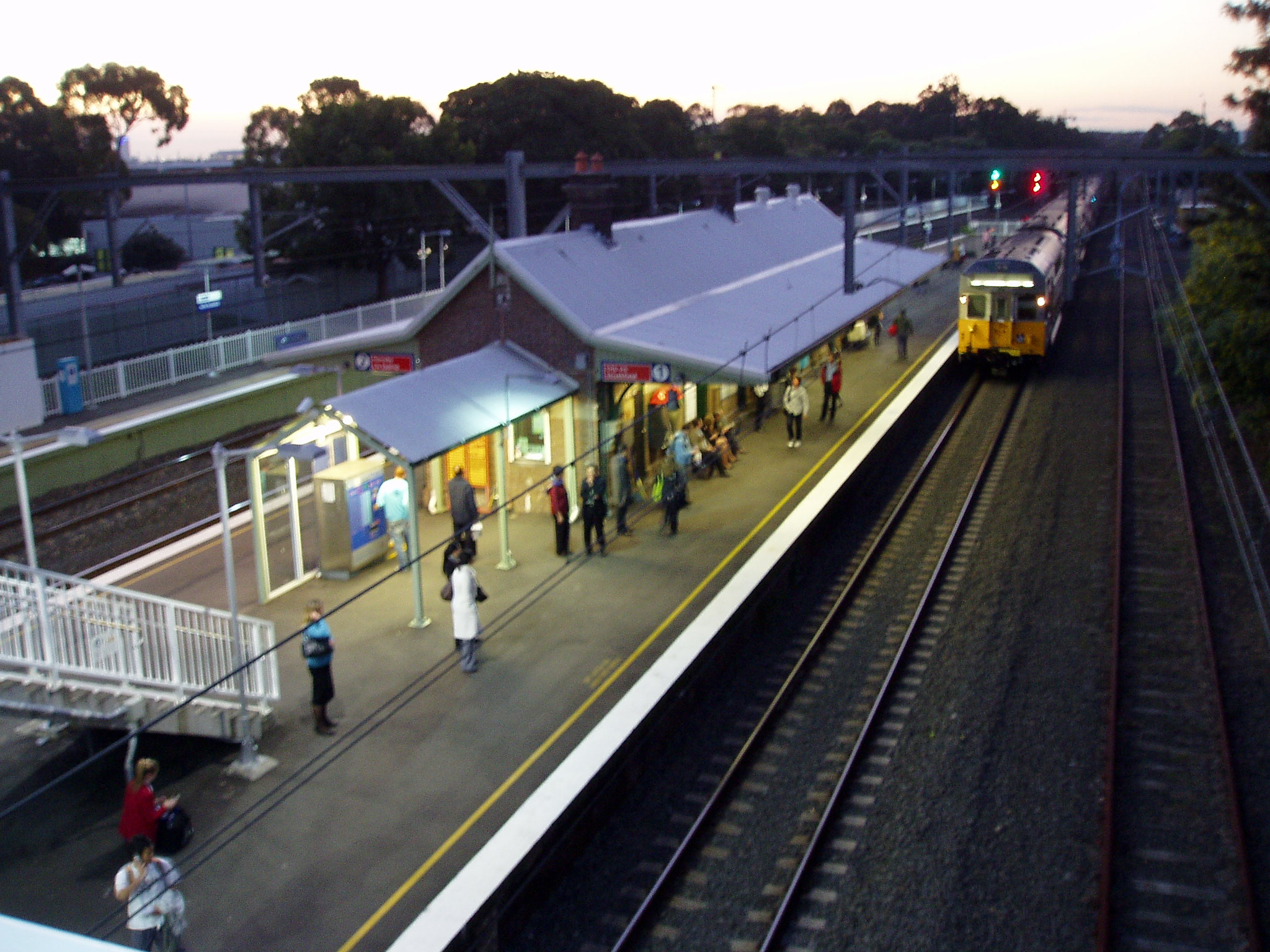
North Strathfield railway station is on the Northern line of the CityRail network.
Schools
Strathfield North Public School is located on Concord Road. The McDonald College is a performing arts school.
-
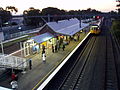
North Strathfield Station
-
The McDonald College
-

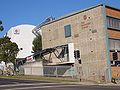
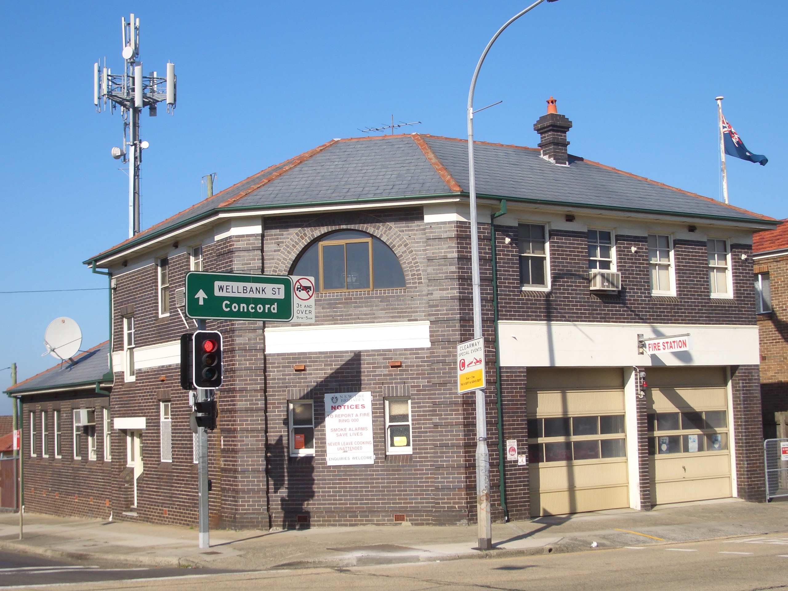
Fire Station, Concord Road
References
Suburbs and localities within the City of Canada Bay · Inner West · Sydney Abbotsford · Breakfast Point · Cabarita · Canada Bay · Chiswick · Concord · Concord West · Drummoyne · Five Dock · Liberty Grove · Mortlake · North Strathfield · Rhodes · Rodd Point · Russell Lea · Strathfield · Wareemba
Coordinates: 33°51′37″S 151°05′19″E / 33.86040°S 151.08856°E
Categories:- Suburbs of Sydney
-


Wikimedia Foundation. 2010.