- Ōnawe Peninsula
-
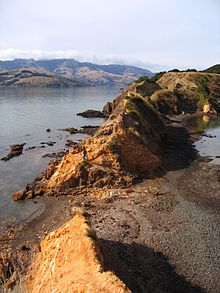 Ōnawe Peninsula, 2007
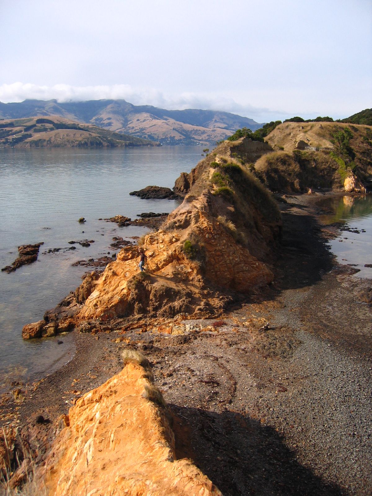
The Ōnawe Peninsula is inside Akaroa harbour, on Banks Peninsula in Canterbury, New Zealand.
It was the site of a Ngāi Tahu pā captured by Te Rauparaha, chief of the Ngāti Toa in 1831.[1] Up to 1,200 people were killed here, and the land is sacred to Ngāi Tahu[2] so "is deemed to be vested in Te Runanga o Ngāi Tahu" as part of the Ngāi Tahu Waitangi claims settlement in 1998.[3]
References
- ^ "Ōnawe Pa", Christchurch Public Library website
- ^ "Ōnawe Pā - Draft Management Plan", Ngai Tahu website
- ^ [www.ngaitahu.iwi.nz/Publications/Governance/Ngai-Tahu-Claims-Settlement-Act-1998.pdf "Ngai Tahu Claims Settlement Act 1998"]
Coordinates: 43°46′26″S 172°55′30″E / 43.774°S 172.925°E
Settlements of Banks Peninsula and the Port Hills, Canterbury, New Zealand Settlements Allandale • Ataahua • Akaroa • Barrys Bay • Birdling's Flat • Cass Bay • Charteris Bay • Chorlton • Church Bay • Cooptown • Corsair Bay • Diamond Harbour • Duvauchelle • French Farm • Governors Bay • Gebbies Pass • Gebbies Valley • Hilltop • Kaituna Valley • Kukupa • Lansdowne • Le Bons Bay • Little Akaloa • Little River • Lyttelton • Motukarara • Ohinetahi • Okains Bay • Okuti Valley • Pigeon Bay • Puaha • Puari • Purau • Port Levy • Rapaki • Robinsons Bay • Tai Tapu • Takamatua • Teddington • The Kaik • Wainui •
Port Hills Suburbs Balmoral Hill • Cashmere • Clifton • Cracroft • Ferrymead • Halswell • Heathcote Valley • Hillsborough • Hoon Hay • Huntsbury • Kennedys Bush • Moncks Bay • Moncks Spur • Mt Pleasant • Murray Aynsley • Redcliffs • Richmond Hill • Scarborough • St Andrews Hill • Sumner • Te Onepoto / Taylors Mistake • Westmorland
Categories:- Canterbury Region
- Peninsulas of New Zealand
- Canterbury Region geography stubs
Wikimedia Foundation. 2010.