- Oliveira de Frades Municipality, Portugal
-
Oliveira de Frades — Municipality — 
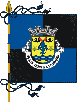
Flag
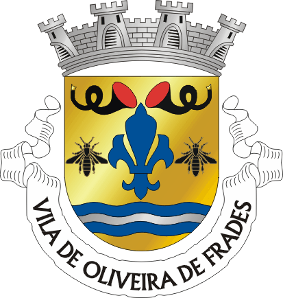
Coat of armsLocation in Portugal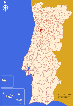
Coordinates: 40°43′N 8°11′W / 40.717°N 8.183°WCoordinates: 40°43′N 8°11′W / 40.717°N 8.183°W Country  Portugal
Region Centro Subregion Dão-Lafões District/A.R. Viseu Government – Mayor Luís Vasconcelos (PSD) Area – Total 145.4 km2 (56.1 sq mi) Population – Total 10,597 – Density 73/km2 (189.1/sq mi) Parishes (no.) 12 Municipal holiday
October 7Website http://www.cm-ofrades.com Oliveira de Frades (Portuguese pronunciation: [oliˈvɐjɾɐ ðɨ ˈfɾaðɨʃ]) is a municipality in Portugal with a total area of 145.4 km² and a total population of 10,597 inhabitants.
County created in 1836 by splitting the county Lafões the existing municipalities of Oliveira de Frades, Sao Pedro do Sul and Vouzela.
The municipality is composed of 12 parishes and is located in the district Viseu. It's one of the few municipalities in Portugal without territorial continuity (the other being Montijo and Vila Real de Santo António): its territory comprehends two parts, with the town of Oliveira de Frades located in the bigger part.
The present mayor is Luís Manuel Martins Vasconcelos, elected by the Social Democratic Party.
The municipal holiday is October 7.
Parishes
- Arca (located in the smaller part)
- Arcozelo das Maias
- Destriz
- Oliveira de Frades
- Pinheiro
- Reigoso
- Ribeiradio
- São João da Serra
- São Vicente de Lafões
- Sejães
- Souto de Lafões
- Varzielas (located in the smaller part)
External links
Armamar · Carregal do Sal · Castro Daire · Cinfães · Lamego · Mangualde · Moimenta da Beira · Mortágua · Nelas · Oliveira de Frades · Penalva do Castelo · Penedono · Resende · Santa Comba Dão · São João da Pesqueira · São Pedro do Sul · Sátão · Sernancelhe · Tabuaço · Tarouca · Tondela · Vila Nova de Paiva · Viseu · Vouzela Categories:
- Municipalities of Portugal
- Towns in Portugal

Wikimedia Foundation. 2010.