- Oupeye
-
Oupeye Location in Belgium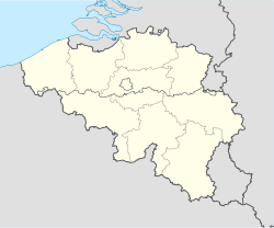
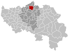
 Oupeye
Coordinates: 50°42′N 05°39′E / 50.7°N 5.65°E Country Belgium Region Wallonia Community French Community Province Liège Arrondissement Liège Government – Mayor Mauro Lenzini (PS) – Governing party/ies PS, CDH Area – Total 36.11 km2 (13.9 sq mi) Population (1 January 2010)[1] – Total 23,869 – Density 661/km2 (1,712/sq mi) Postal codes 4680-4684 Area codes 04 Website www.oupeye.be Map of Oupeye
Oupeye is a Walloon municipality of Belgium in Province of Liege. On January 1, 2006, Oupeye had a total population of 23,581. The total area is 36.11 km² which gives a population density of 653 inhabitants per km².
Chertal
Chertal is a narrow isthmus approximately 1.5km southest of Oupeye bounded by the Albert Canal and Meuse. Since 1963 the land has been the site of a steel factory owned by Espérance-Longdoz (as of 2010 part of ArcelorMittal Liege).
References
- ^ Population per municipality on 1 January 2010 (XLS; 221 KB)
Municipalities of the Province of Liège Huy 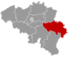
Liège Verviers Amel · Aubel · Baelen · Büllingen · Burg-Reuland · Bütgenbach · Dison · Eupen · Herve · Jalhay · Kelmis · Lierneux · Limbourg · Lontzen · Malmedy · Olne · Pepinster · Plombières · Raeren · Sankt Vith · Spa · Stavelot · Stoumont · Theux · Thimister-Clermont · Trois-Ponts · Verviers · Waimes · Welkenraedt
Waremme Categories:- Municipalities of Liège
- Liège geography stubs


Wikimedia Foundation. 2010.