- Okohia
-
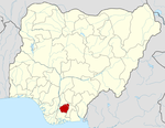
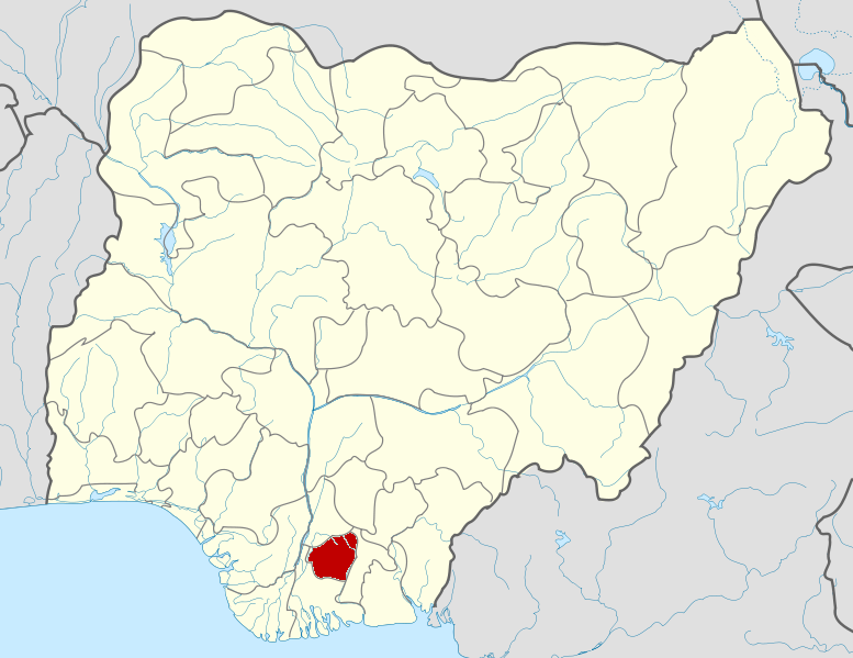
Okohia is a community in the Ideato-South Local Government Area of Imo State, Nigeria, at an altitude of about 211 m.[1]
Okohia lies on the Imo River, a tributary of the Niger River, which creates a natural coastline of sandy beaches, mangrove swamps, lagoons and coastal hills. The official language is Igbo. The majority of the population are Christians, while others follow traditional beliefs.[2]
Oral tradition says that long ago a man called Eke with his wife Orie moved north from Isuama Center to a place now called Isiekenesi. When Eke became old, he shared out his lands to his children. Aghobe got the land at the center, Isieke at the south, Ojisi to the south west, Dim to the west, Okohia to the North and Awalla to the east.[3] At the time of the Nigerian civil war, Okohia was part of Okigwe Division. The Administrator was Col. Samuel Onunaka Mbakwe, who later become the first democratic Governor of Imo State.[4] Okohia is the birthplace of Ikedi Ohakim, who became governor of Imo State in May 2007.[5]
References
- ^ "Okohia, Nigeria". GeoNames. http://www.geonames.org/2592614/okohia.html. Retrieved 2009-12-30.
- ^ "About Amumara". Amumara.org. http://www.amumara.org/. Retrieved 2009-12-30.
- ^ "Isiekenesi History". National Assoc. Of Isiekenesi People USA. http://www.naipusa.com/Heritage/tabid/58/Default.aspx. Retrieved 2009-12-30.
- ^ ADIM UCHEGBU (August 12, 2009). "New face of Ohakim". Daily Sun. http://www.sunnewsonline.com/webpages/features/freekick/2009/aug/12/freekick-12-08-2009-001.htm. Retrieved 2009-12-30.
- ^ "About Ikedi Ohakim". Ikedi Ohakim. http://www.ikediohakim.com.ng/about%20ikedi/index.php. Retrieved 2009-12-30.
Coordinates: 5°13′8″N 6°55′4″E / 5.21889°N 6.91778°E
 Imo State
LGAs Aboh Mbaise · Ahiazu Mbaise · Ehime Mbano · Ezinihitte · Ideato North · Ideato South · Ihitte/Uboma · Ikeduru · Isiala Mbano · Isu · Mbaitoli · Ngor Okpala · Njaba · Nkwerre · Nwangele · Obowo · Oguta · Ohaji/Egbema · Okigwe · Onuimo · Orlu · Orsu · Oru East · Oru West · Owerri Municipal · Owerri North · Owerri West ·
 Categories:
- Imo State geography stubs
- Populated places in Imo State
- Cities in Igboland
Wikimedia Foundation. 2010.