- Njaba
-
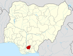
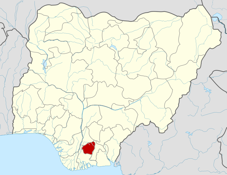
Njaba — LGA — Country  Nigeria
State Imo State Capital Time zone WAT (UTC+1) Njaba is a Local Government Area of Imo State, Nigeria. Its headquarters are in the town of Nneasa.
It has an area of 84 km² and a population of 145,110 at the 2006 census.
The postal code of the area is 474.[1]
References
- ^ "Post Offices- with map of LGA". NIPOST. http://www.nipost.gov.ng/PostCode.aspx. Retrieved 2009-10-20.
 Imo State
State capital: Owerri LGAs Aboh Mbaise · Ahiazu Mbaise · Ehime Mbano · Ezinihitte · Ideato North · Ideato South · Ihitte/Uboma · Ikeduru · Isiala Mbano · Isu · Mbaitoli · Ngor Okpala · Njaba · Nkwerre · Nwangele · Obowo · Oguta · Ohaji/Egbema · Okigwe · Onuimo · Orlu · Orsu · Oru East · Oru West · Owerri Municipal · Owerri North · Owerri West ·
 Categories:
- Local Government Areas in Imo State
- Imo State geography stubs
Wikimedia Foundation. 2010.