Oat Hills (Mariposa County)
- Oat Hills (Mariposa County)
-
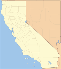
The Oat Hills are a mountain range in Mariposa County, California.[1]
References
Categories: - Mountain ranges of Northern California
- Mountain ranges of Mariposa County, California
- Mariposa County, California geography stubs
Wikimedia Foundation.
2010.
Look at other dictionaries:
Oat Hills — may refer to: Oat Hills (Colusa County), California, USA Oat Hills (Mariposa County), California, USA Oat Hills (San Diego County), California, USA Oat Hills (Yuba County), California, USA This set index article includes a list of mountains that… … Wikipedia
Yolo County, California — County of Yolo County Seal … Wikipedia
Napa County, California — Napa Valley redirects here. For the wine country, see Napa Valley AVA. County of Napa Napa Valley County … Wikipedia
Santa Susana Mountains — Geobox|Range name=Santa Susana Mountains image caption=Scrubland in Aliso Canyon country=United States state=California parent=Transverse Ranges border= San Gabriel Mountains|border1=Simi Hills region type = Counties region=Los Angeles… … Wikipedia
Napa, California — This article is about the city in California. For other uses, see Napa (disambiguation). City of Napa City … Wikipedia
Geography of California — Covering an area of 163,696 sq mi (423,970 km2), California is geographically diverse. The Sierra Nevada Mountains, the fertile farmlands of the Central Valley, and the arid Mojave Desert of the south are some of the major geographic… … Wikipedia