Oat Hills (Colusa County)

Oat Hills (Colusa County)
Oat Hills
Mountain Range
Country United States
State California
District Colusa County
Coordinates 39°7′14.611″N 122°22′37.922″W / 39.12072528°N 122.37720056°W / 39.12072528; -122.37720056
Highest point
 - elevation 268 m (879 ft)
Timezone Pacific (UTC-8)
 - summer (DST) PDT (UTC-7)
Topo map USGS Wilbur Springs
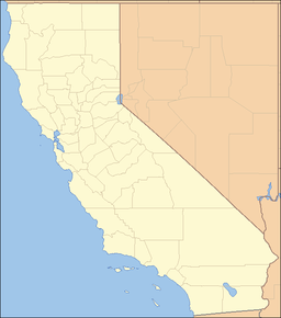
location of Oat Hills in California [1]

The Oat Hills are a mountain range in Colusa County, California.[1]

References


Wikimedia Foundation. 2010.

Игры ⚽ Поможем решить контрольную работу

Look at other dictionaries:

  • Oat Hills — may refer to: Oat Hills (Colusa County), California, USA Oat Hills (Mariposa County), California, USA Oat Hills (San Diego County), California, USA Oat Hills (Yuba County), California, USA This set index article includes a list of mountains that… …   Wikipedia

  • Yolo County, California — County of Yolo   County   Seal …   Wikipedia

  • Napa County, California — Napa Valley redirects here. For the wine country, see Napa Valley AVA. County of Napa Napa Valley   County   …   Wikipedia

  • Monarch Wilderness — IUCN Category Ib (Wilderness Area) …   Wikipedia

  • Napa, California — This article is about the city in California. For other uses, see Napa (disambiguation). City of Napa   City   …   Wikipedia

  • Geography of California — Covering an area of 163,696 sq mi (423,970 km2), California is geographically diverse. The Sierra Nevada Mountains, the fertile farmlands of the Central Valley, and the arid Mojave Desert of the south are some of the major geographic… …   Wikipedia

Share the article and excerpts

Direct link
Do a right-click on the link above
and select “Copy Link”