- Northeast Hermosillo
-
Northeast Hermosillo
Noreste de Hermosillo— Unincorporated area —  Location in Mexico
 Northeast Hermosillo
Coordinates: 29°07′36″N 110°57′05″W / 29.12667°N 110.95139°WCoordinates: 29°07′36″N 110°57′05″W / 29.12667°N 110.95139°W Country  Mexico
State Sonora Municipal Status 1825 Government - Municipal President Javier Gándara Magaña
( PAN)
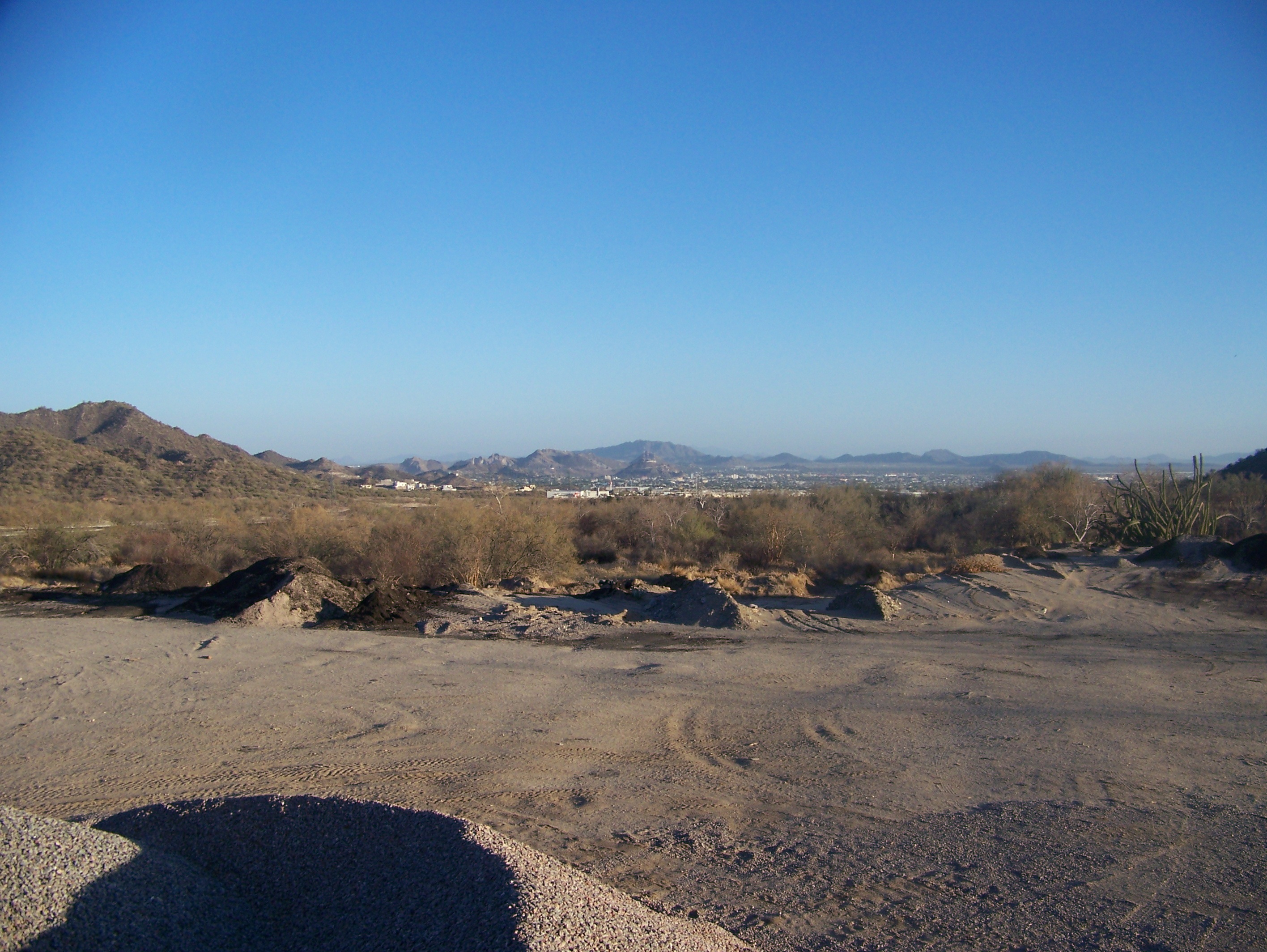
PAN)- Deputy Carlos Rodríguez Freaner (PVEM)[1] Area - Total 9,661.62 km2 (3,730.4 sq mi) Elevationof seat 276 m (906 ft) Population (2005) - Total 160,862 Time zone CST (UTC-6) Postal code (of seat) ? Area code(s) 662 Demonym Website (Spanish) /Official site References: http://www.e-local.gob.mx/work/templates/enciclo/sonora/gobi.htm Northeast Hermosillo, also called El Noreste, Morelos and Gringorelos, is an unincorporated area in the Sonoran capital of Hermosillo. Its borders can be defined where the roads Reforma and Kino join, and so included some recognized neighborhoods such as Misión del Sol, Balderrama, Modelo, Pitic and La Joya. But also including several residential developments, which had a boom in residential developments in Hermosillo. Commercial centers are mostly found along major important roads like Blvd. Progreso, Blvd. Morelos and Blvd. Kino. Their development is such that many American franchises have invested in these centers, and often people call this zone the "Gringorelos", a portmanteau of Gringo and Blvd. Morelos.
Contents
City
This sector of Hermosillo has minor attractions but has major agglomeration of businesses and stores. Since both north entrances are in this sector, it receives tourists from various places in the United States and even from Canada in winter season. Therefore, hotels and commercial services and stores are concentrated in Blvd. Morelos and Kino. Torre Hermosillo is located in Blvd. Kino.
Economy
This sector main economic activity is trading, since no factories are located here, just stores. This sector not only works for itself, but it also does for the rest of the city.
Higher education
- Tecnológico de Monterrey (ITESM), Campus Sonora Norte[2]
- Universidad del Valle de México (formerly Universidad del Noroeste)
- Centro de Estudios Superiores del Estado de Sonora (CESUES)[3]
- Universidad TecMilenio, Campus Hermosillo
Transportation
The Mexican Federal Highway 15 crosses the city where it is called Blvd. Kino. Also, a newly built detour at the northern entrance merges into Blvd. Morelos, making them even more visited and attracted.
References
Categories:

Wikimedia Foundation. 2010.