- North Valley Parkway
-
"Gavilan Peak" redirects here. For the California mountain formerly sharing the same name, see Fremont Peak (California).
North Valley Parkway, Gavilan Peak Parkway Maintained by: MCDOT Length: 15 mi (24 km) South end: Jomax Road (soon) Major
junctions: SR 74 (Carefree Highway) in North Phoenix
North end: New River Road in New River North Valley Parkway or Gavilan Peak Parkway is a 15-mile (24 km), largely four-lane, north–south arterial parkway in North Phoenix and Anthem, Arizona, running parallel mostly to the Interstate 17 (I-17) from Norterra Parkway to New River Road. In the last three years, the parkway has undergone changes from a non-contiguous 20% unpaved segments of dead end drives, into a major alternative to the often congested I-17 in the far north valley. By 2020 all segments of the double-named Parkway should be completed, and is expected to become a major commercial route for the far north section of the Phoenix Metropolitan Area, and will be easily accessed by over seven I-17 exits. North Valley Parkway also differs from other north Phoenix Metropolitan roads as it does not follow a straight line and curves every mile or so heading awkwardly northwest, following the 23rd, 27th and 35th avenue alignments at various points.
Route description
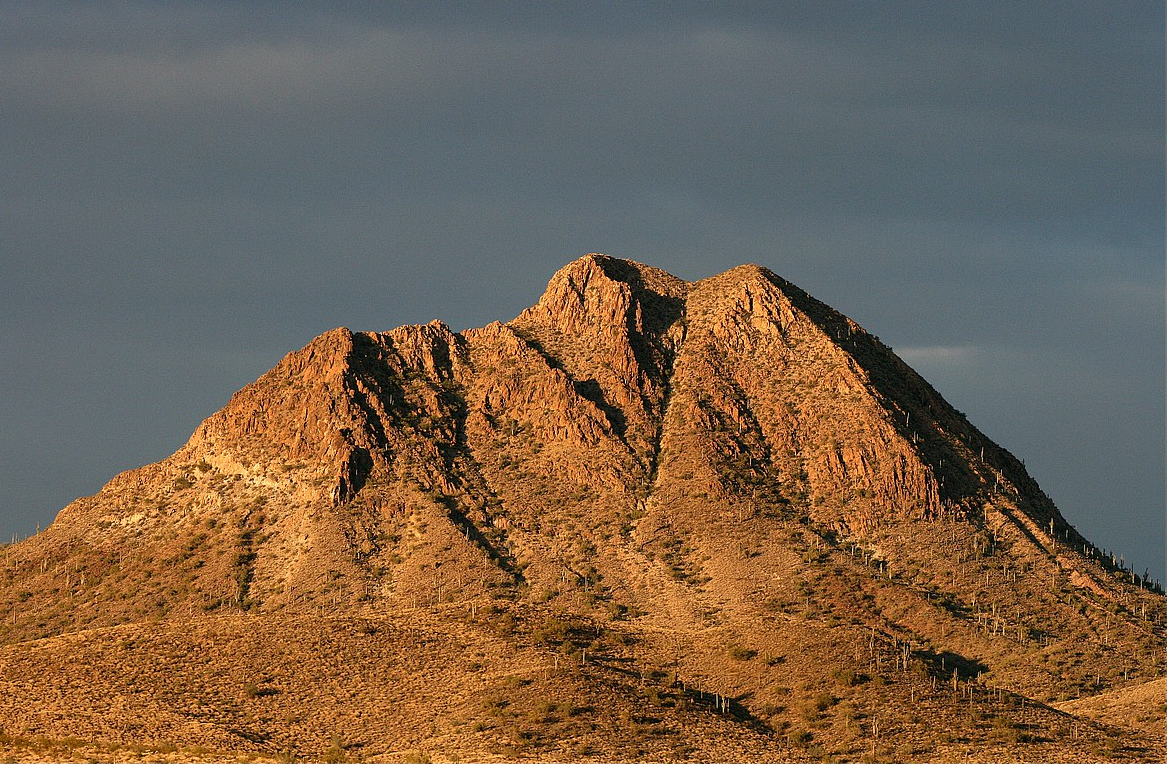
North Valley Parkway is eventually supposed to begin at Jomax Road in North Phoenix as a continuation of 19th Avenue, work to build a six-lane bridge over the Central Arizona Project Canal is currently under construction and will be completed by mid-2011.[1] Until its completion the parkway begins at the terminus of Norterra Parkway and heads north as a six-lane divided road until Dixileta Drive where it temporarily narrows to two lanes, widening to four lanes at Sonoran Desert Drive, which will in the future be a surface street continuation of the Loop 303. The road heads north one more mile (1.6 km) passing Sonoran Boulevard before it detours onto 27th Drive and then the State Route 74 (SR 74, Carefree Highway), this detour is due to lack of funding to build a bridge over the Skunk Creek Wash. From the Carefree Highway north, the road is five lanes for another mile before taking the name Gavilan Peak Parkway,[2] named for the mountain in New River: Gavilan Peak. From here it enters the community of Anthem and becomes a divided street again north of Pioneer Road, heading north past Daisy Mountain Drive, Boulder Creek High School, Anthem’s community park. It then narrows down to two lanes as it becomes simply I-17 Frontage Road, and dead ends north of New River Road.
Business and commercial opportunities
Between Norterra Parkway and 27th Drive; North Valley Parkway sits one mile east of I-17, the majority of this land to the west currently vacant, and will remain so until the completion of the Loop 303, and Sonoran Boulevard’s eastward connection to Cave Creek Road. Shortly prior to the completion of these two projects, the City of Phoenix will begin selling many parcels of land already zoned for commercial use along the parkway as well as the northbound I-17 frontage road. This area is known as the North Gateway Urban Village, and by 2030 it is expected to become a major quadrant of the metropolitan area. It is anticipated that the development will add 15,000 jobs and 25,000 residents to the North Phoenix Area. The segment from 27th Drive to the Carefree Highway, currently unbuilt, will feature less condensed businesses such as strip malls. Strip malls are already in existence along the parkway on the north side of the Carefree Highway. Between 33rd Lane and Cloud, land is reserved for future commercial use, but only after the lands south of it are developed. North of Cloud, land is preserved up to the Joy Ranch Road alignment, north of which the area is zoned solely residential until Daisy Mountain Drive. The parkway segment between Daisy Mountain Drive and just north of Anthem Way runs through already sold and developed commercial land, interspersed with residential properties along the roadway. North of there, the area is solely residential; further north the road becomes merely a two-way rural frontage road. There are no future plans in for that space, but there is a lot of open land.[3]
References
Categories:- Transportation in Maricopa County, Arizona
Wikimedia Foundation. 2010.