- North Nahanni River
-
North Nahanni River 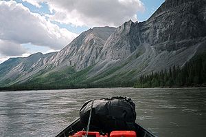
Origin Backbone Ranges
62°16′18″N 126°23′55″W / 62.27157°N 126.39859°WMouth Mackenzie River
62°14′44″N 123°19′43″W / 62.24557°N 123.32866°WCoordinates: 62°14′44″N 123°19′43″W / 62.24557°N 123.32866°WBasin countries  Canada
Source elevation 2,000 meters (6,600 ft) Mouth elevation 105 meters (344 ft) North Nahanni River is a river in the Northwest Territories of Canada. It is a major tributary of the Mackenzie River
Contents
Course
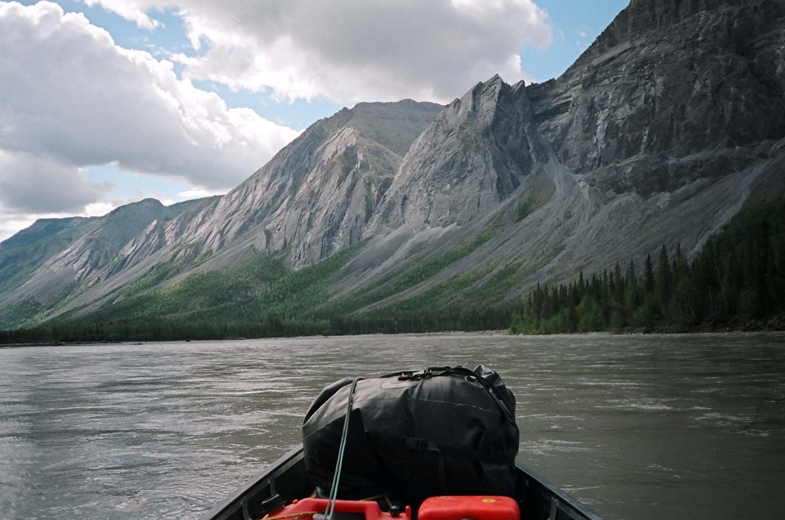
The North Nahanni River originates in the Backbone Ranges of the Mackenzie Mountains, at an elevation of 2,000 meters (6,600 ft). It flows east, south of the Thundercloud Range, then turns north-east and east. It turns south around the Camsell Range of the Franklin Mountains, where it receives the waters of Deceiver Creek and Battlement Creek. It turns east after receiving the Ram River and Tetcela River and flows between the Nahanni Range and the Camsell Range. It empties into the Mackenzie River at an elevation of 105 meters (344 ft), 110 kilometers (68 mi) downstream from Fort Simpson.
Tributaries
From headwaters to mouth, the North nahanni River receives waters from the following tributaries:
- Deceiver Creek
- Battlement Creek
- Ram River
- Tetcela River
See also
- List of rivers of the Northwest Territories
References
Hydrography of the Northwest Territories Rivers Arctic Red · Back · Coppermine · Fond du Lac · Great Bear · Hay · Horn · Hornaday · Kagloryuak · Keele · Kotaneelee · Liard · Mackenzie · North Nahanni · Petitot · Redstone · Roscoe · Slave · South Nahanni · Trout · Yellowknife · more...Lakes Artillery · Aylmer · Blackwater · Boyd · Buffalo · Clinton-Colden · Colville · Faber · Firedrake · Great Bear · Great Slave · Hottah · Howard · Kakisa · Kasba · Keller · Lac Belot · Lac de Gras · Lac des bois (Northwest Territories) · Lac La Martre · Lynx · MacKay · Mosquito · Napaktulik · Nonacho · Point · Selwyn · Snowbird · Tahiryuak · Tathlina · Trout · Tulemalu · Wholdaia · more...Coastal features Amundsen Gulf · Beaufort Sea · Dolphin and Union Strait · Fitzwilliam Strait · Hazen Strait · Kellett Strait · Liddon Gulf · M'Clure Strait · Minto Inlet · Murray Inlet · Prince of Wales Strait · Richard Collinson Inlet · Prince Albert Sound · Wilkins StraitCategories:- Rivers of the Northwest Territories
- Northwest Territories geography stubs
Wikimedia Foundation. 2010.